
INTRODUCTION
This story really begins in the Summer of 2019 at the start of my fourth and final year of medical school. That Summer, I adventured across the US traveling for back to back to back away rotations in radiology, finishing the journey with two months in Arizona and Utah. Reflecting back on the experience as a whole, I think this adventure was really prompted by a lifelong idealization of the mountain west. I grew up fascinated by the concept of exploration in the backcountry. And with countless exposures to the staggering scenery of the western US in magazines, books, TV shows, and movies, it seemed obvious that this region was one of the best places for such exploration. But even with the blessing of countless family vacations all over the US and elsewhere throughout my early years, I had never been to the mountain west, leaving me with a smoldering desire to explore the region in which I thought I’d feel most at home. So, when I learned about the possibility of organizing educational rotations at other institutions during the last year of medical school, I couldn’t help but take advantage of it.
After a great deal of logistical planning between four different medical schools, I embarked on my three months of consecutive away rotations. I spent the Summer driving remote highways, experiencing new cities, hiking the mountains of Arizona and Utah, and making innumerable new memories I’ll cherish forever. It ended up being the most meaningful and pivotal Summer of my life. I came away knowing I wanted to spend at least the next few years in the southwest, if not the rest of my life. Luckily, the medical residency match process went my way, and I’d be completing my diagnostic radiology training in Tucson, Arizona. After a year of general medical training in Ohio I bought a house and moved across the country. I was finally living my dream of residing in the west, with endless opportunities to explore the great outdoors, and I was determined to make the most of it.
SAGUARO NATIONAL PARK | SIGNAL HILL
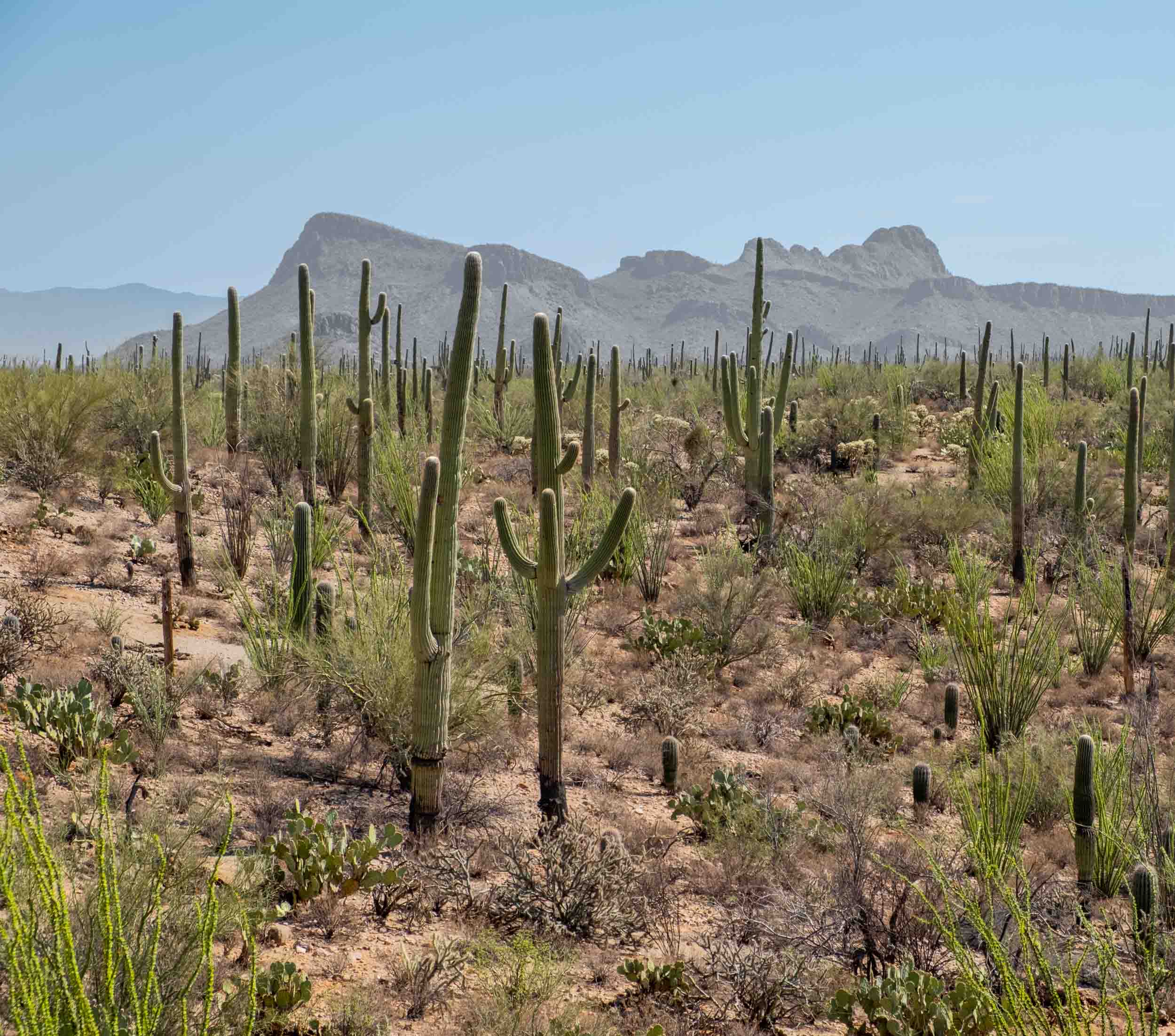
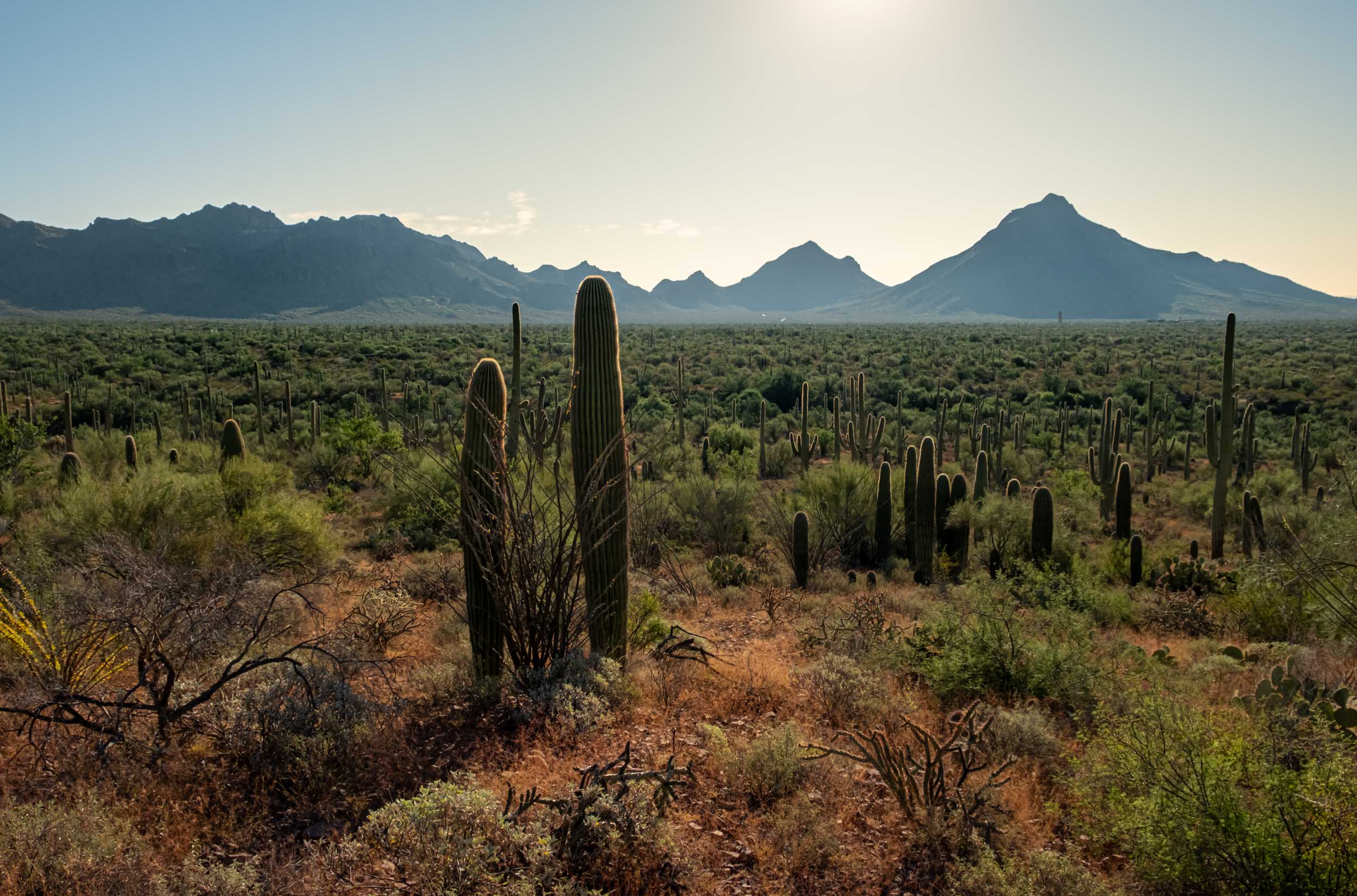
I can’t believe it, but I have a national park 15 minutes from my house. My backyard looks out at the mountains on the northern border of Saguaro National Park. With its close proximity, it seemed like a natural place for our first official hike as Tucson residents. We set out with the simple goal of immersing ourselves in the unique environment that is the Sonoran Desert. Starting from the Signal Hill trailhead, we walked rather aimlessly for a few hours along the trails tramped down by the hikers before us.
We saw the iconic spiral and other petroglyphs created by the Hohokam sometime between 450 and 1450 AD, examined the innumerable types of cacti all around us, and gazed out at the brown mountain faces in all directions. Spending some time in this landscape, which can’t be found anywhere else outside the Sonoran Desert, was the perfect welcome to demarcate the beginning of our time here.
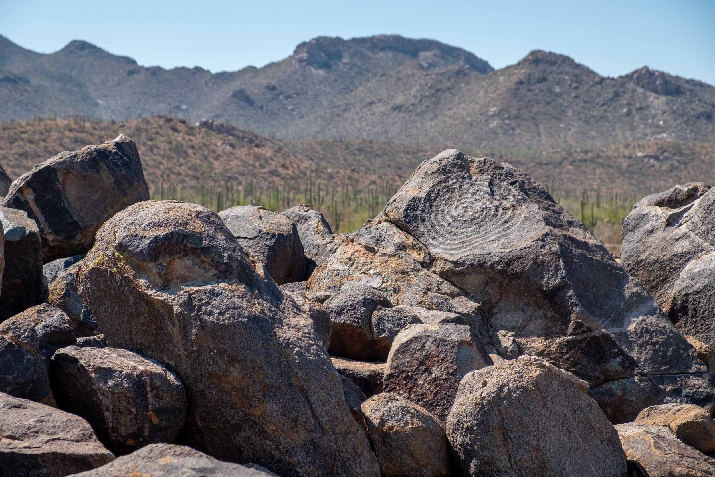
A few photos from Signal Hill and the surrounding offshoot trails
MOUNT LEMMON | BOX CAMP TRAIL
Our next adventure took us to the top of the Santa Catalina Mountains, exploring Mount Lemmon. During my previous weeks here, I made it a point to spend as much time on top of Mount Lemmon as I could, even with the hour-ish drive to the top. The peak of this mountains stands just over 9,000 feet, a significant elevation gain from the 2,000 – 2,400 feet of the surrounding desert. And this elevation gain means that as you make your ascent, you’ll experience roughly the same biological and geological diversity as you might on a drive from Mexico to Montana. By the time you reach the top, the Saguaro Cacti for which Tucson is famous are long gone, replaced by coniferous trees and cool mountain air. During the Summer when temperature might reach 115 degrees in the city, temperatures on Mount Lemmon are usually about 30 degrees cooler. There’s even a little town at the top called “Summerhaven” celebrating this fact.
The hiking up here, therefore, is similar to that I’ve done in Southern Colorado or even in the Wasatch Mountains just east of Salt Lake City, and provides a sort of mental refresher when you want a change of scenery.
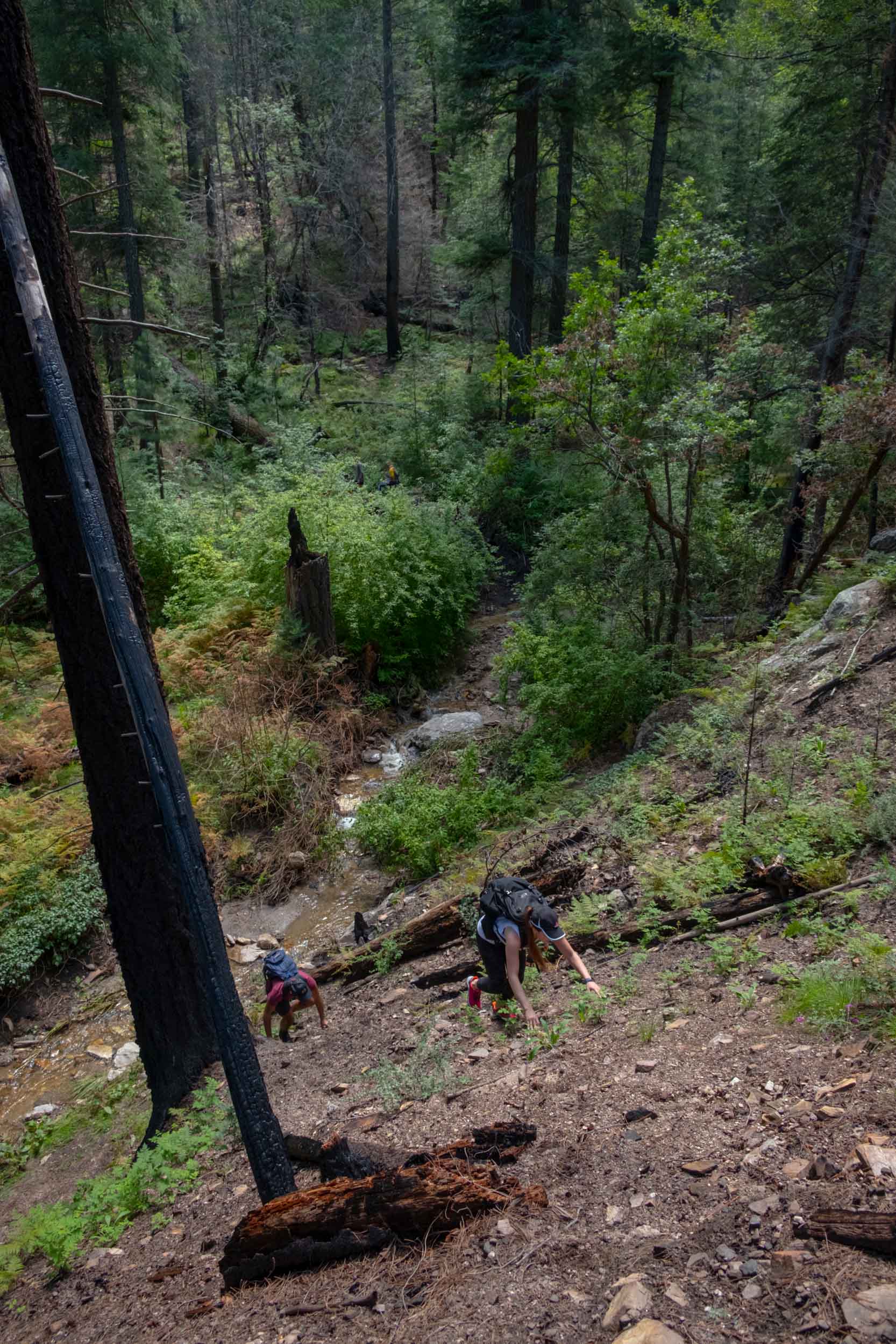
In the aftermath of the Bighorn Fire which burned over 180,000 acres on Mount Lemmon between the time of my away rotations and when I officially became a resident, several of the trails were closed. After weighing our options, we decided to explore the Box Camp trail with a simple out-and-back hike, and it didn’t disappoint. The views aren’t as staggering as those you might experience on the recently re-open Mount Lemmon Trail, but being surrounded by dense greenery in the cool mountain air provided the exact thing we were after: a feeling of disconnection from society and immersion in the forest.
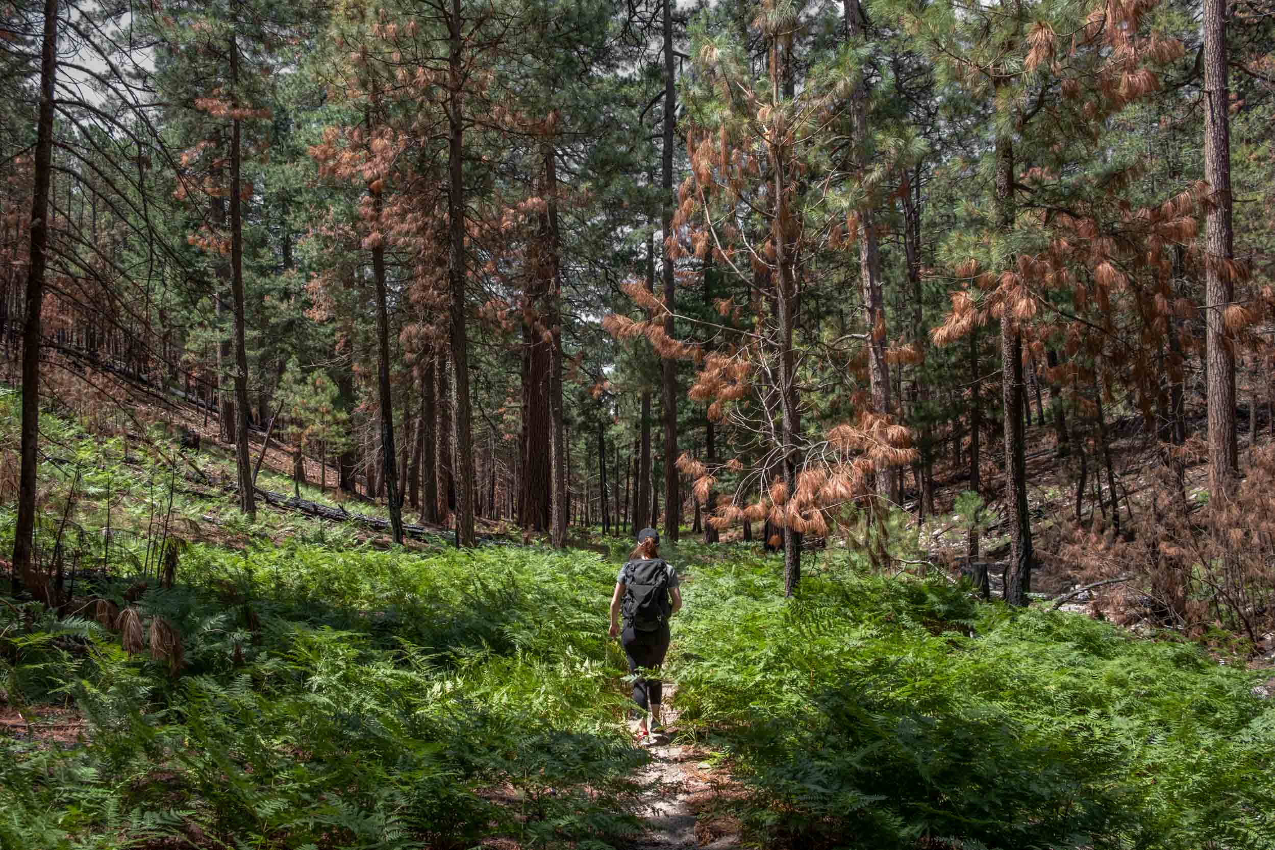
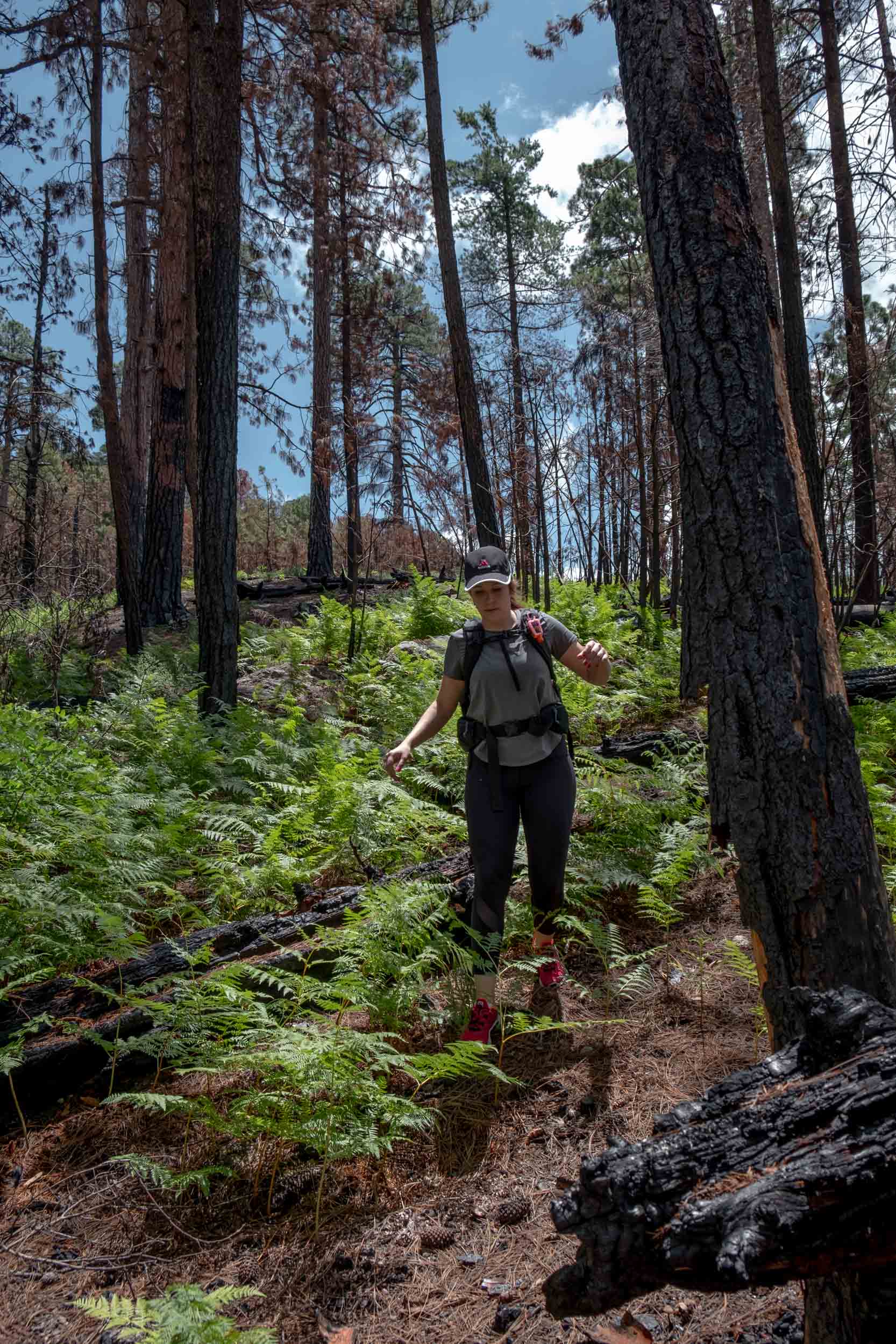
A couple of photos from our short hike on the Box Camp Trail
SAGUARO NATIONAL PARK | KINGS CANYON TRAIL
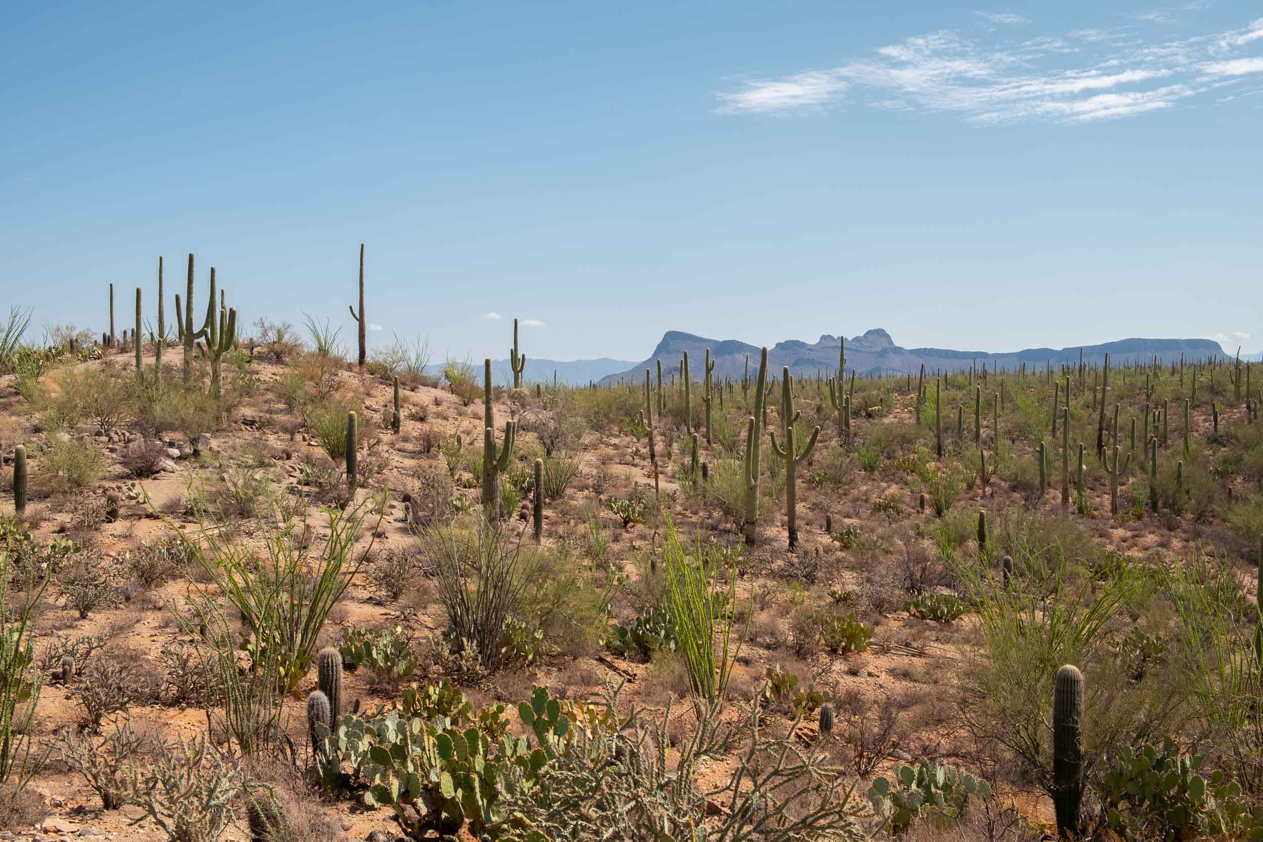
After satisfying our itch for the mountains, we again returned to Saguaro National Park for a more aggressive hike up the Kings Canyon Trail to Wasson Peak. This is a roughly 7 mile hike gaining about 1800 feet of elevation. The elevation gain comes gradually at first, with the trail becoming steeper as you traverse a long series of switchbacks. As you ascend, however, you’re rewarded with unreal views of the surrounding desert, mountains, and cities.
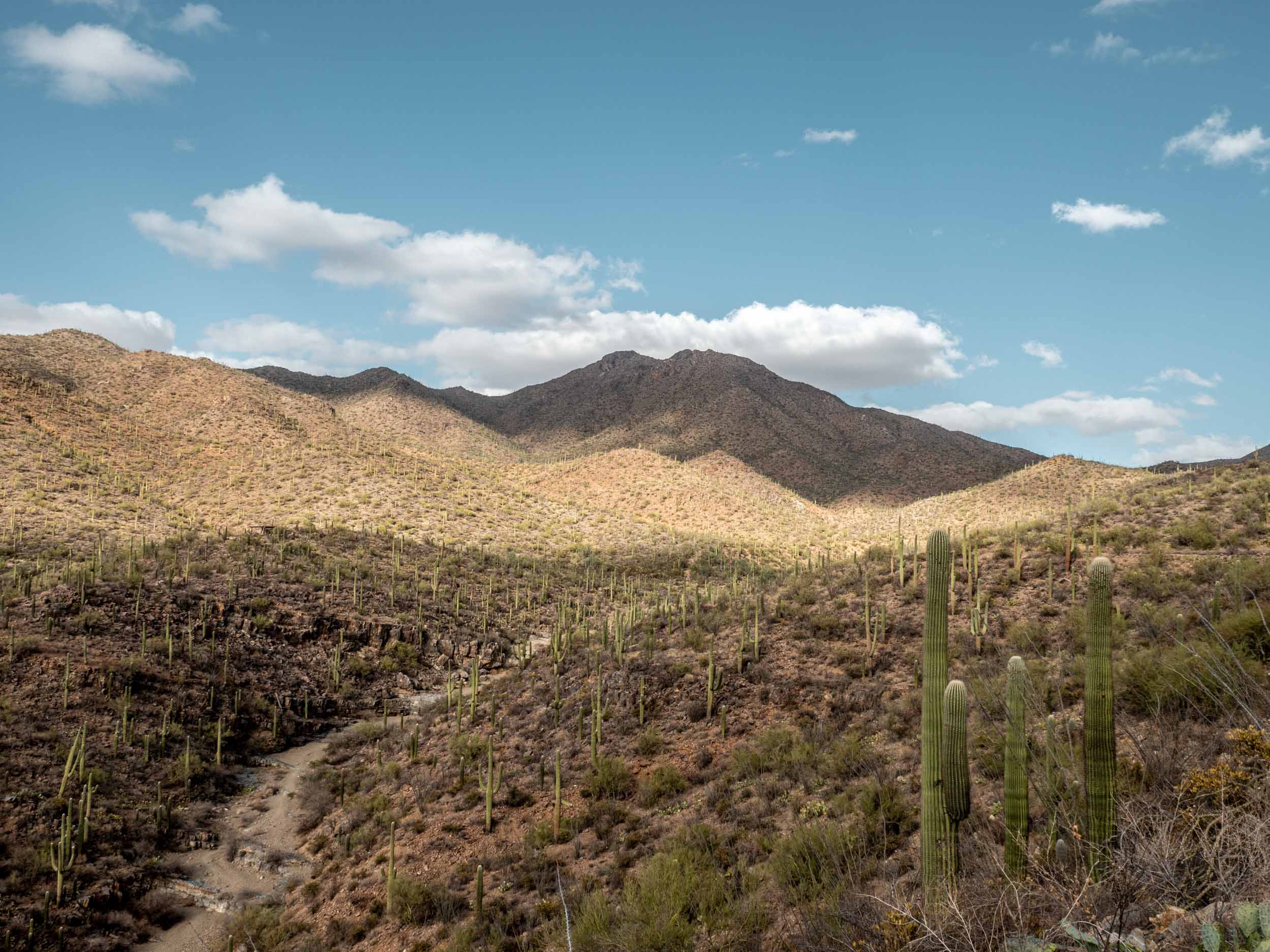
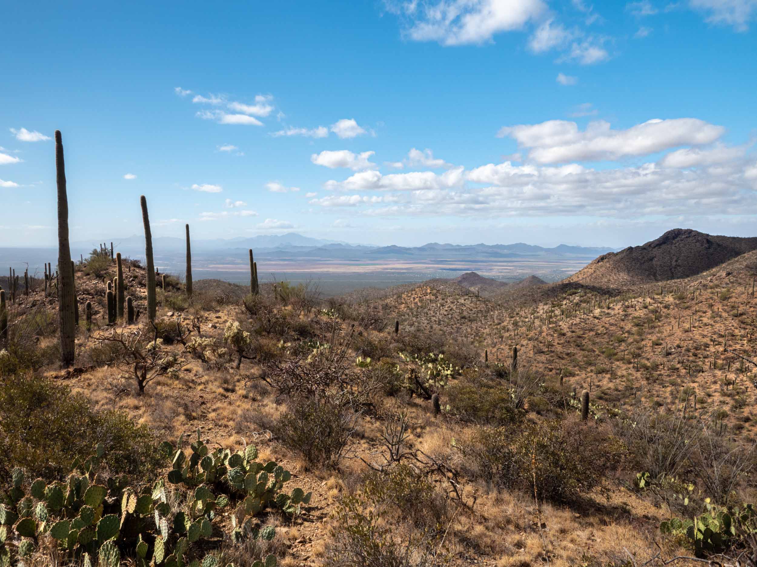
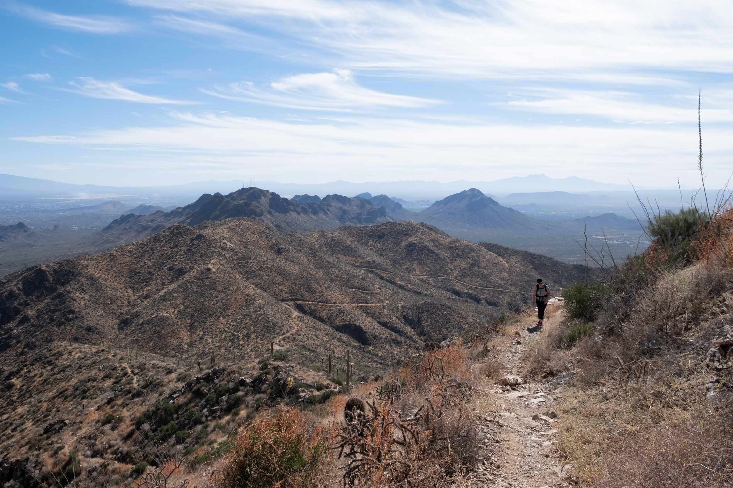
The views from our hike on the Kings Canyon Trail
MOUNT LEMMON | MARSHALL GULCH TRAIL
In a pattern that continues to this day, after hiking in the desert we again sought the Summer refuge of the cool mountain air, sending us back to the top of Mount Lemmon. This time, we explored the Marshall Gulch trail, a relatively flat trail through the forest with rewarding views of down the mountains along its distal half. We brought my friend and co-resident Anish along for our day of adventuring, and had a fantastic time.
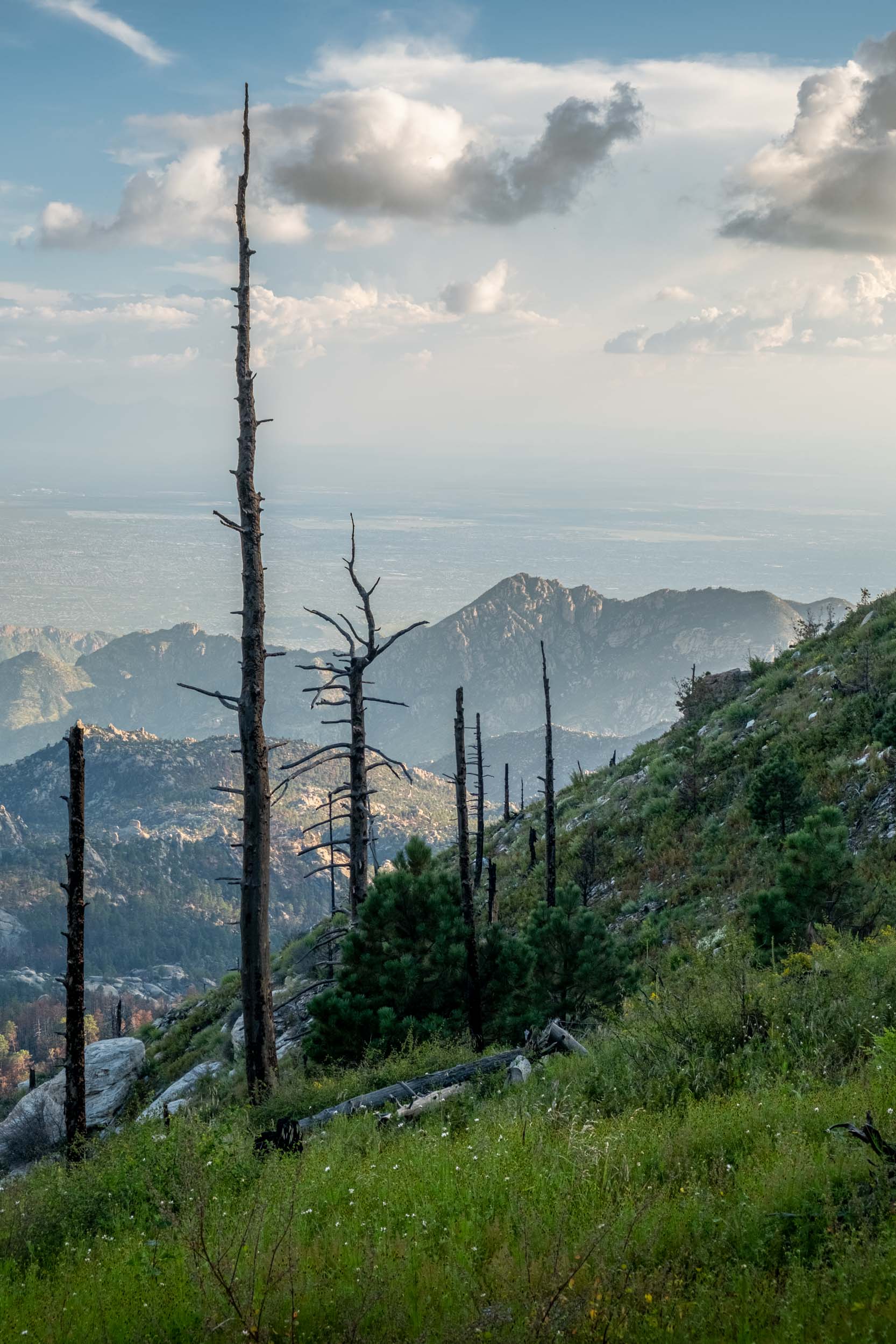
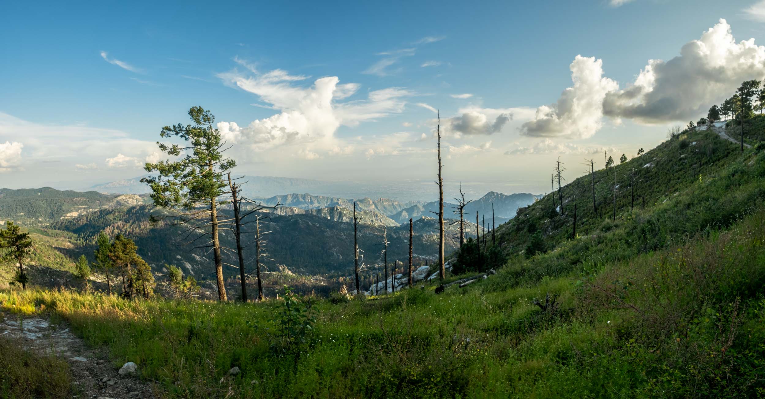
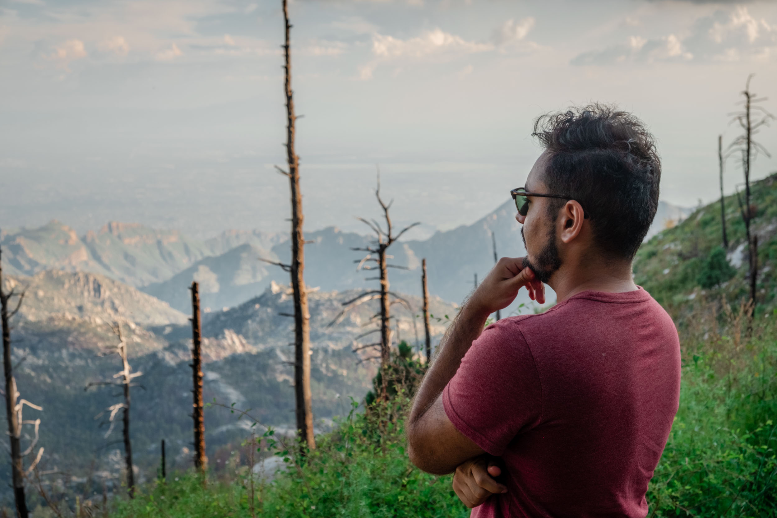
A few photos from our day on the Marshall Gulch Trail, and from the top of Mount Lemmon
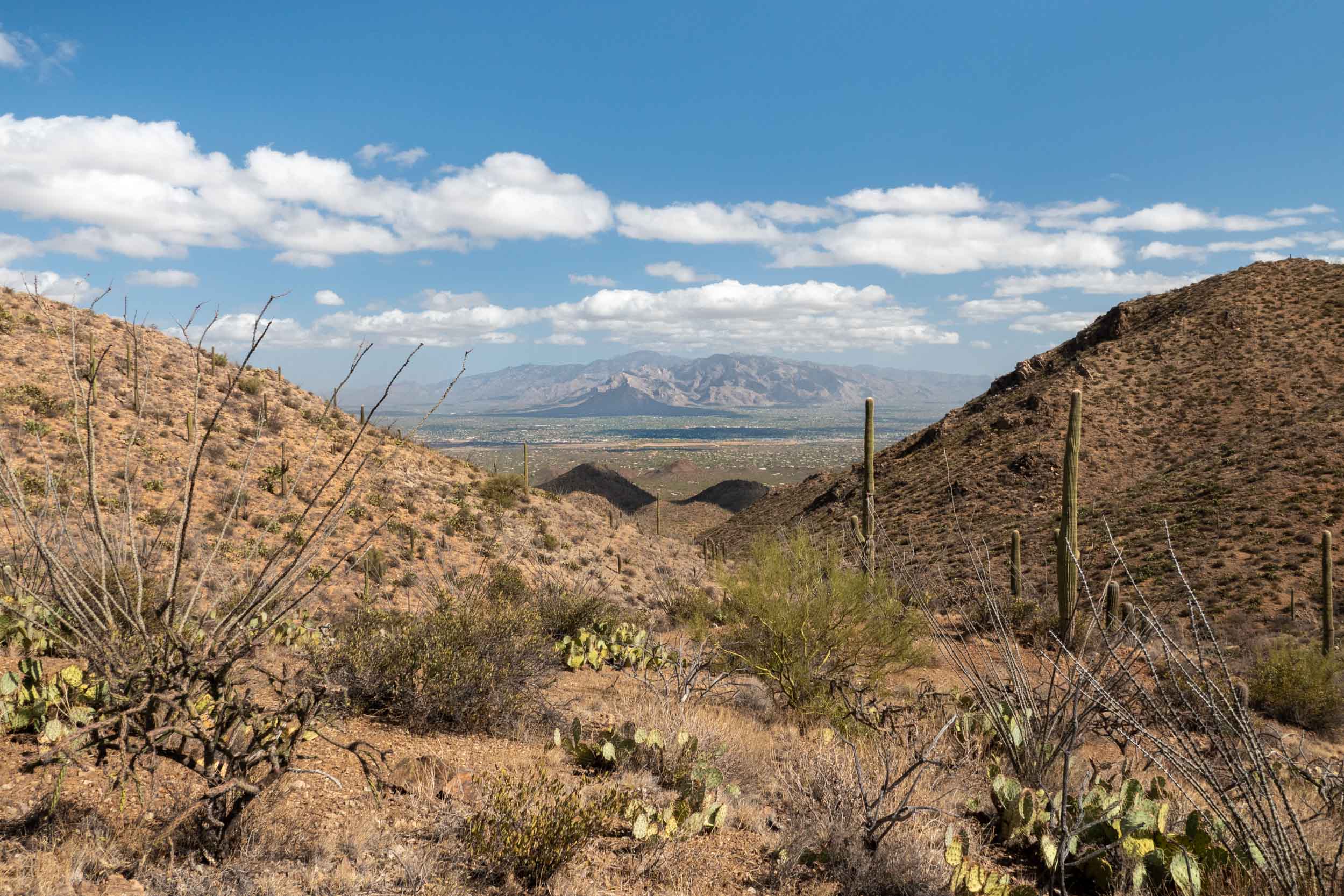
SAGUARO NATIONAL PARK | BROWN MOUNTAIN
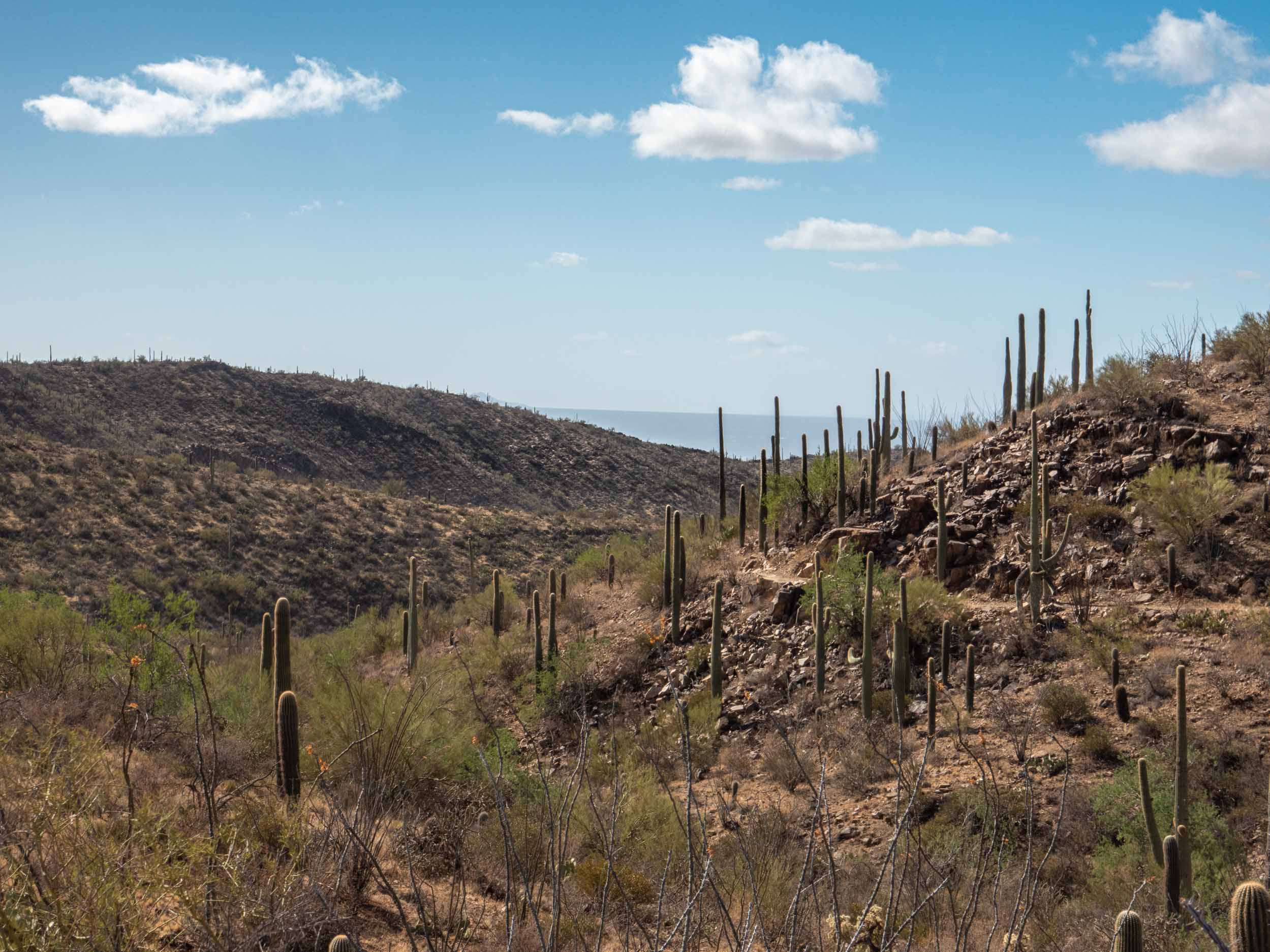
As you may have predicted, after our previous hike on Mount Lemmon we again returned to the desert. This time we adventured on a perfect little 5 mile loop hike up and over Brown Mountain. I say “perfect” because it has enough climbs and descents to be mildly challenging, provides fantastic exposure to the vegetation and wildlife of the Sonoran Desert, rewards the hiker with views over the endless land to the west of Tucson from the mountain peaks, follows a looped course rather than an out-and-back path so you never see the same thing twice, and is just long enough to justify the drive time without forcing you spend all day there if you don’t want to.
On our way up Brown Mountain, looking back toward the South
These five hikes (in combination with some exploration of Tucson’s countless food, drink, cultural, and scientific opportunities) served as a perfect collection of experiences to bookmark the start of our adventure living in Tucson. They demonstrated the variety of outdoor experiences possible living in the west, even if you only have a day or two on the weekends to get out and explore. And they served as a sort of confirmation that the dream I’d had as a child for easier access to a more adventure-filled life wasn’t just a pipe dream, and that I’d finally achieved it.