INTRODUCTION
As always, you can view the photographic narrative for this story below. What is a photographic narrative?
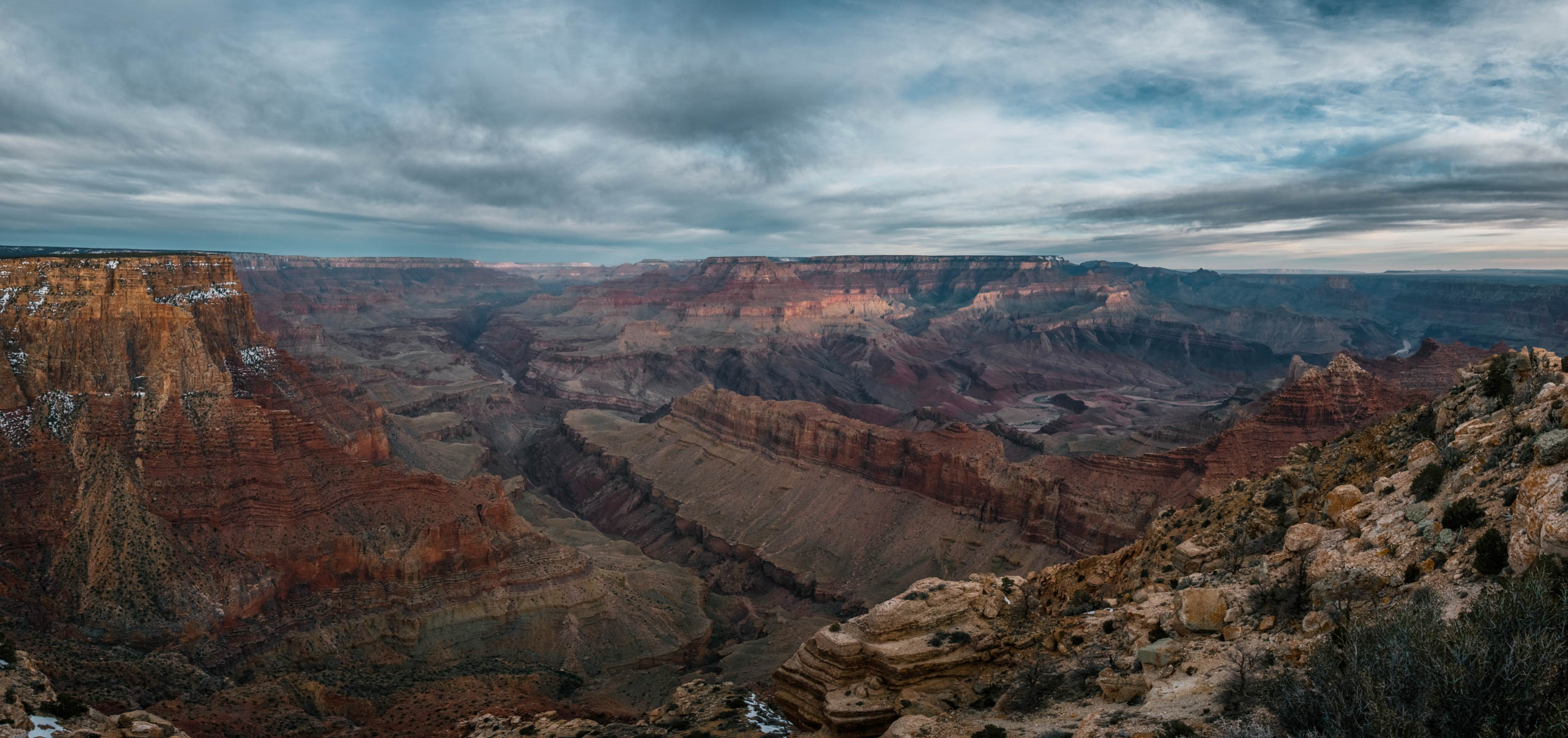
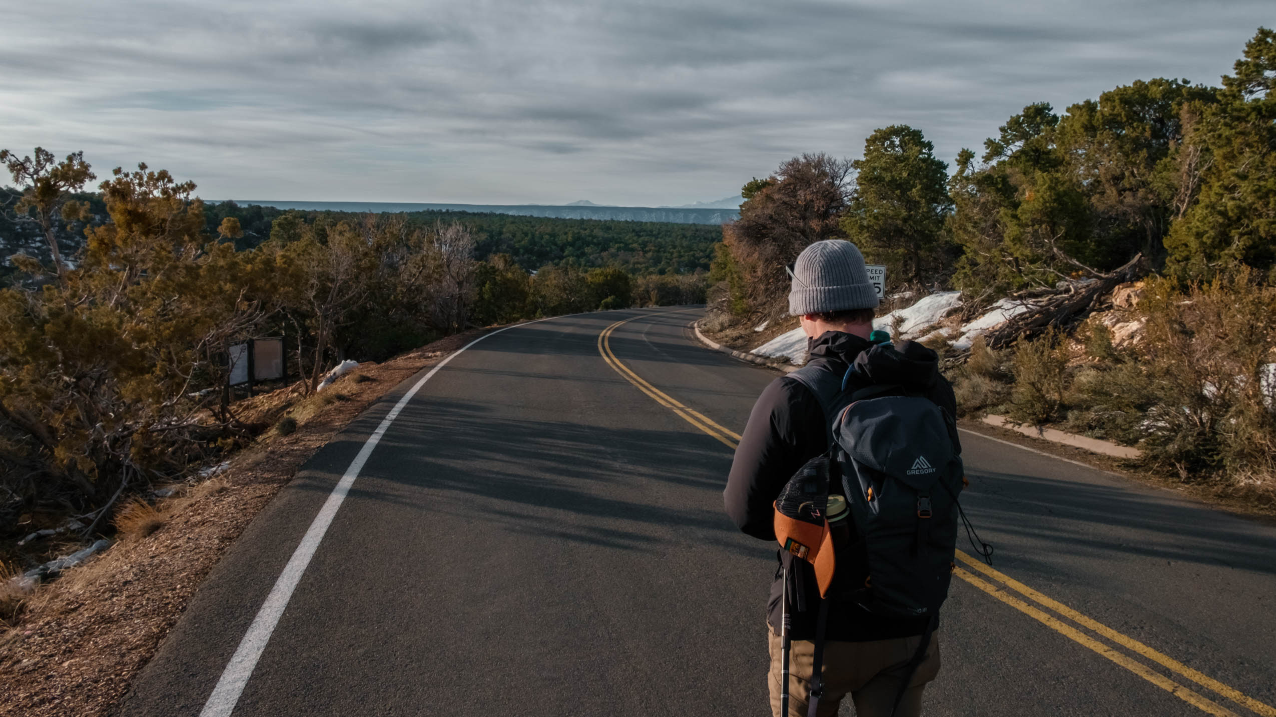
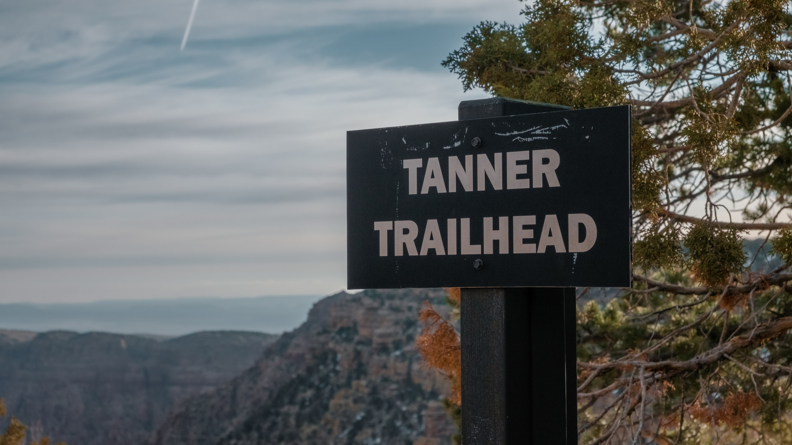
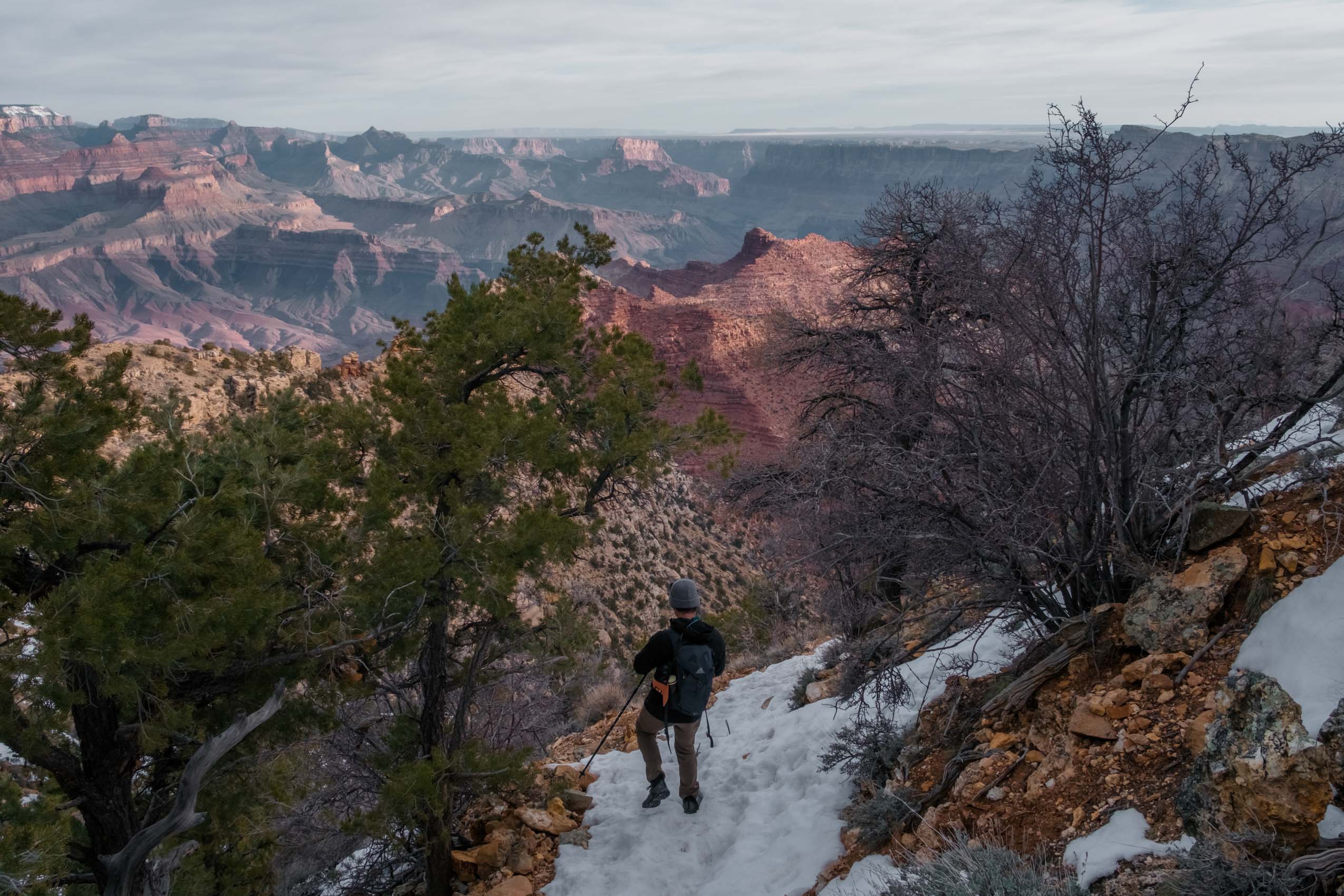
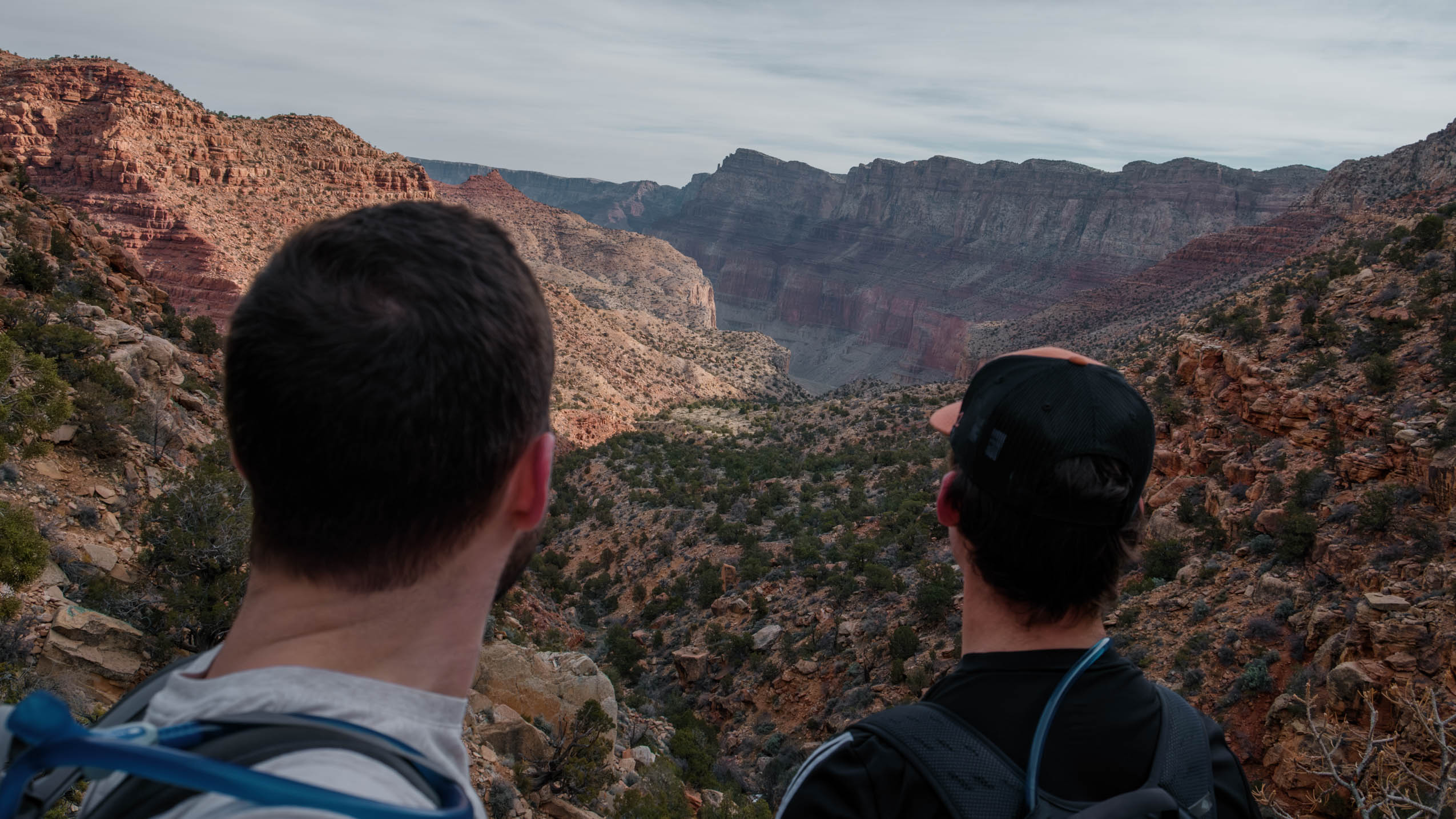
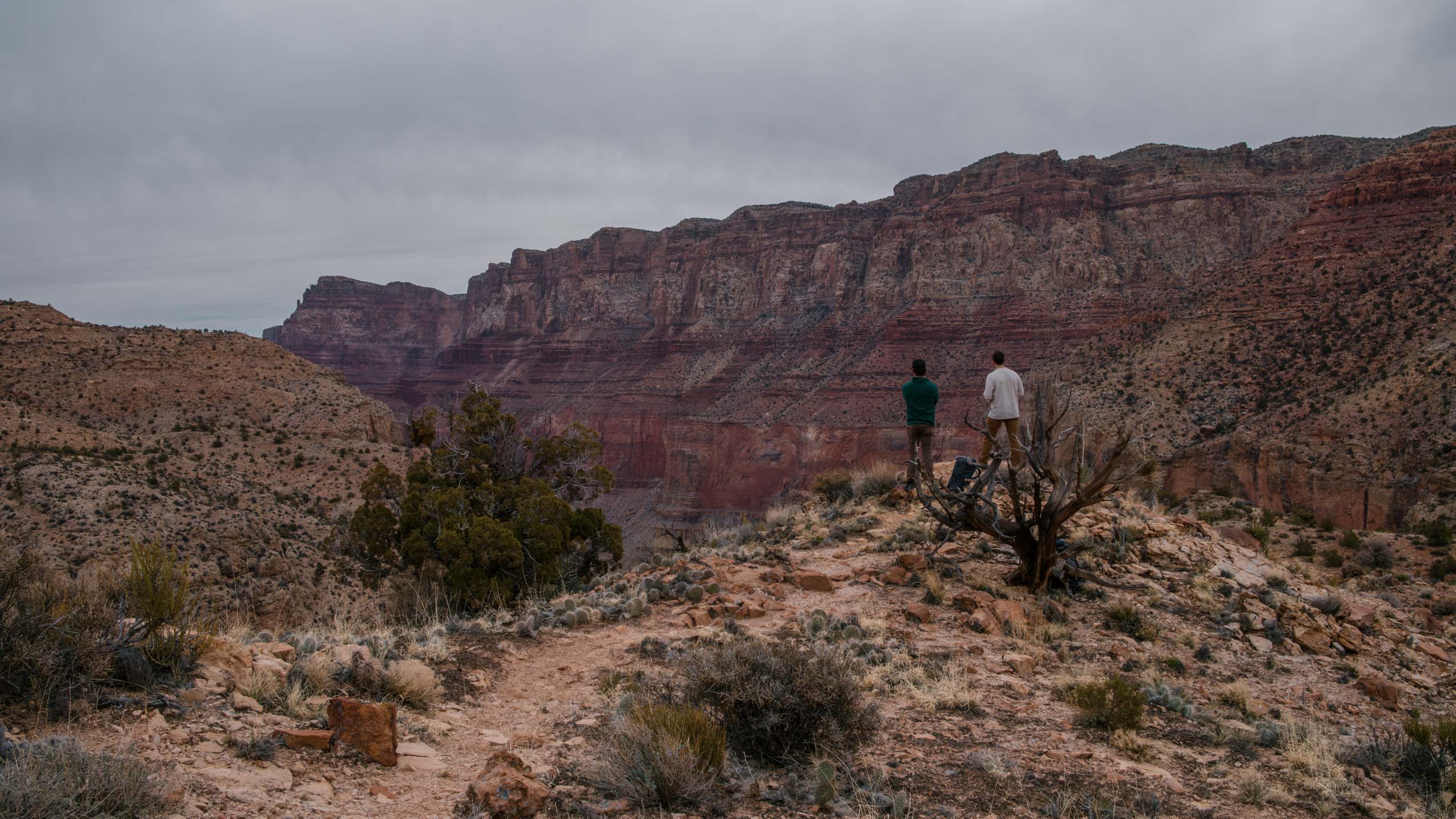
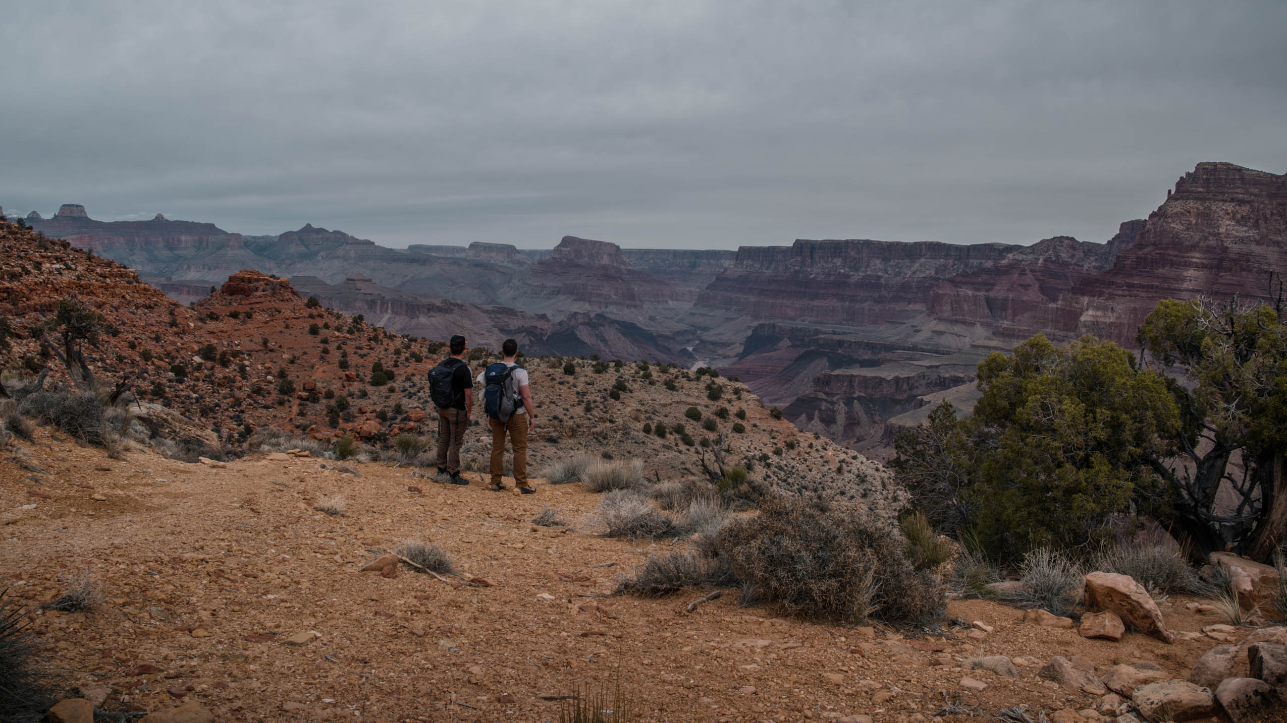
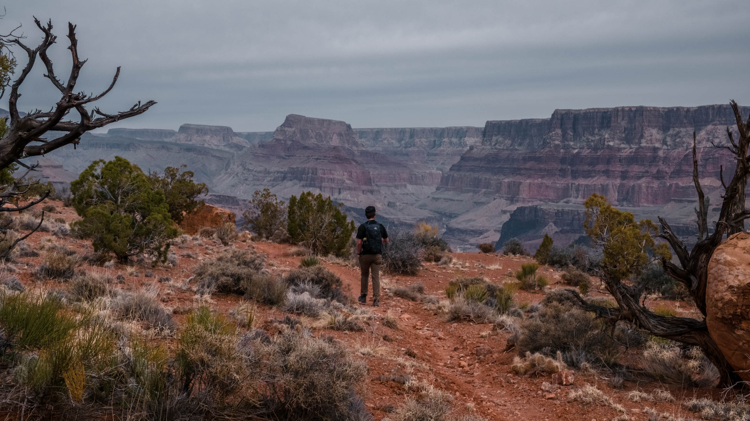
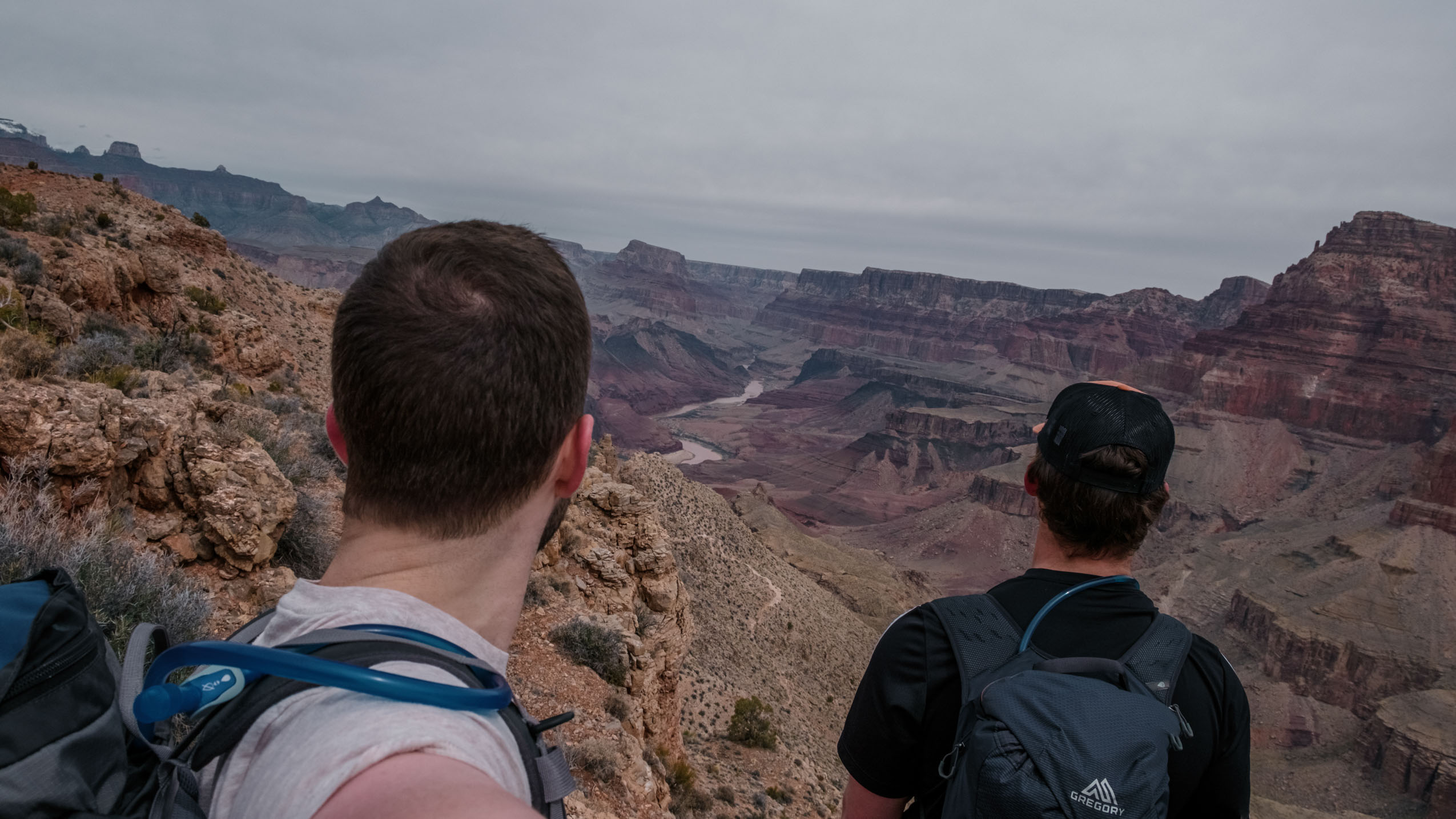
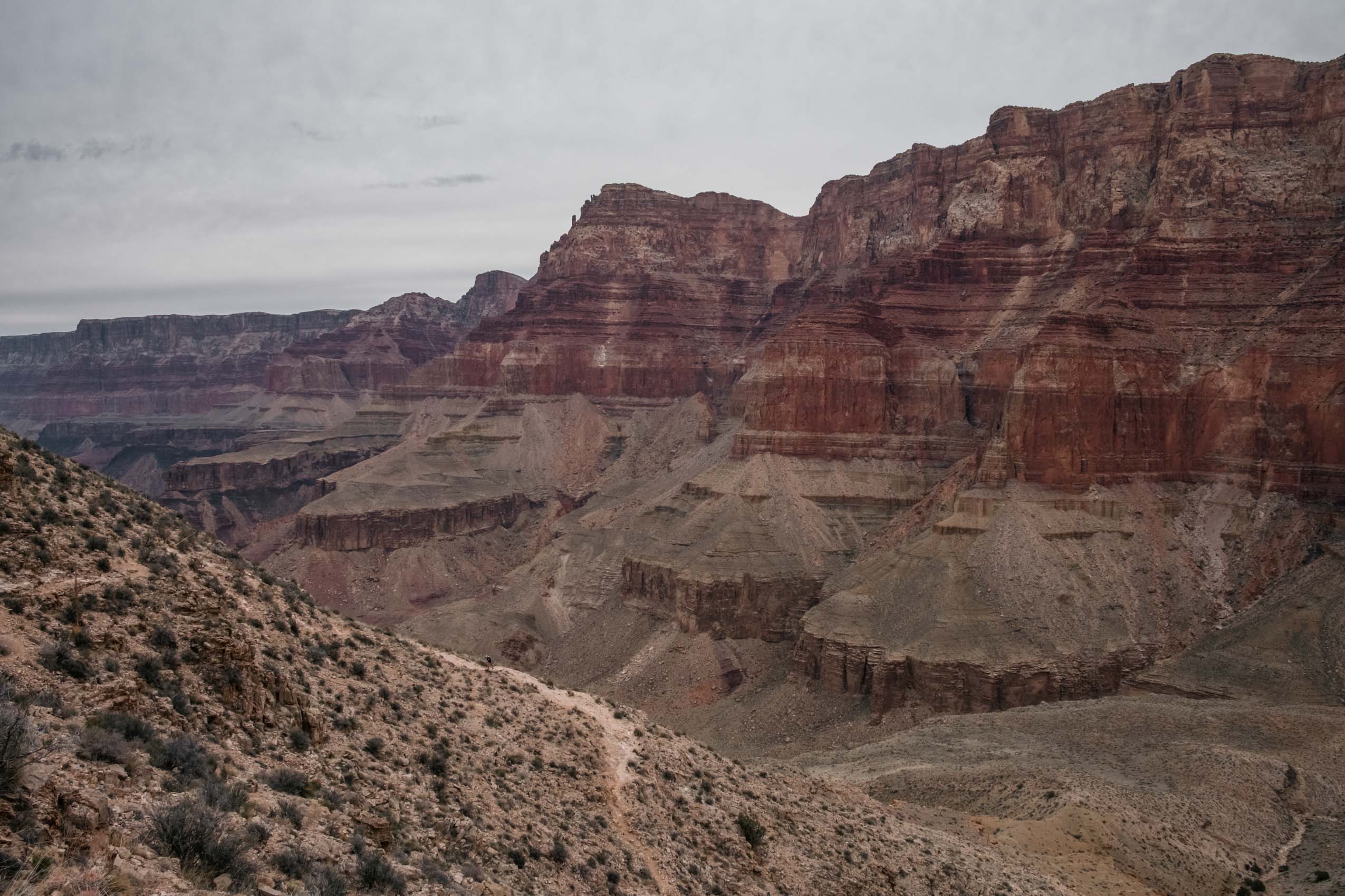
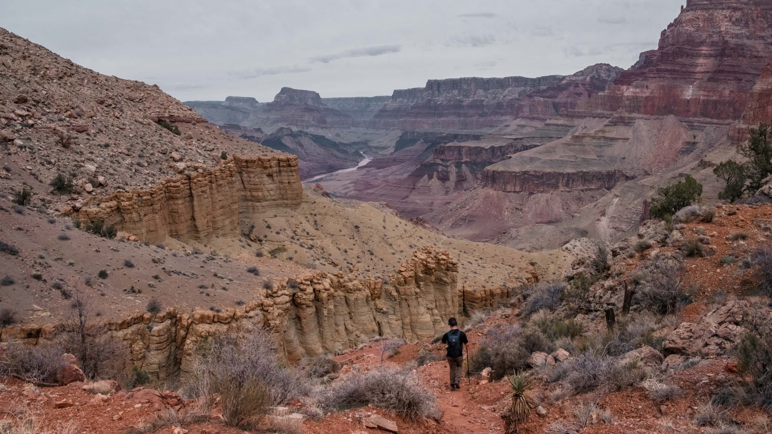
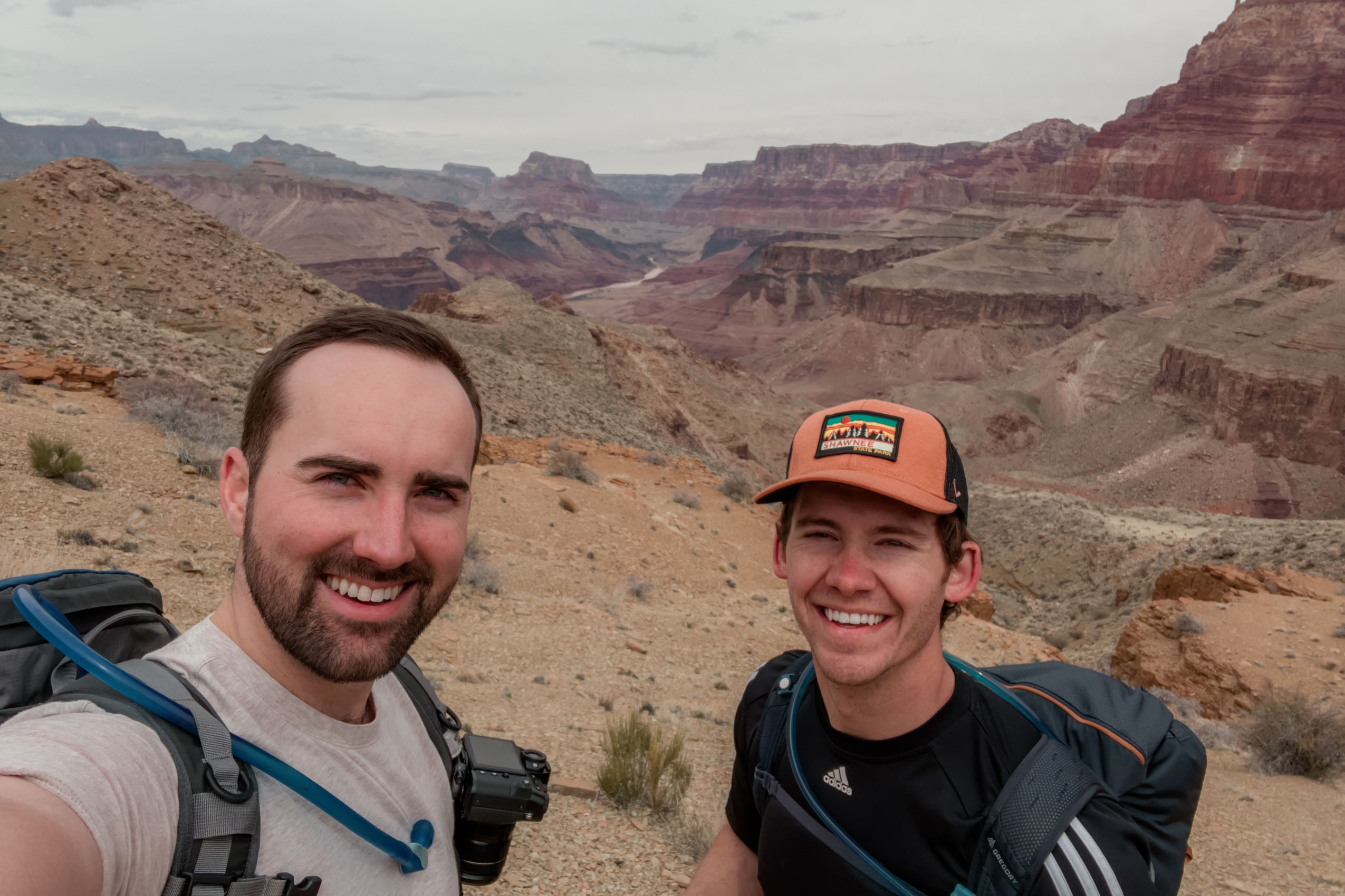
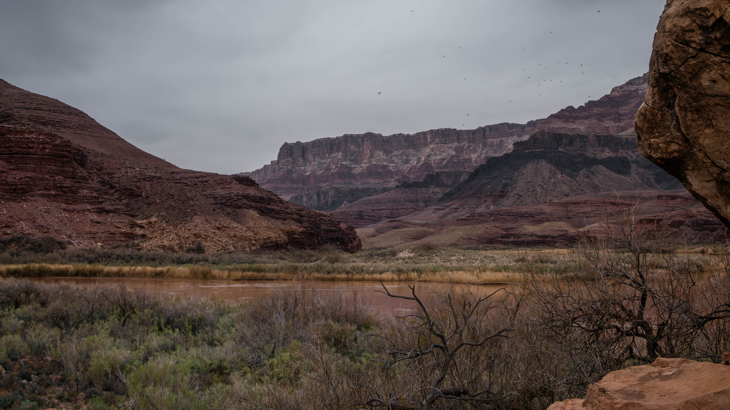
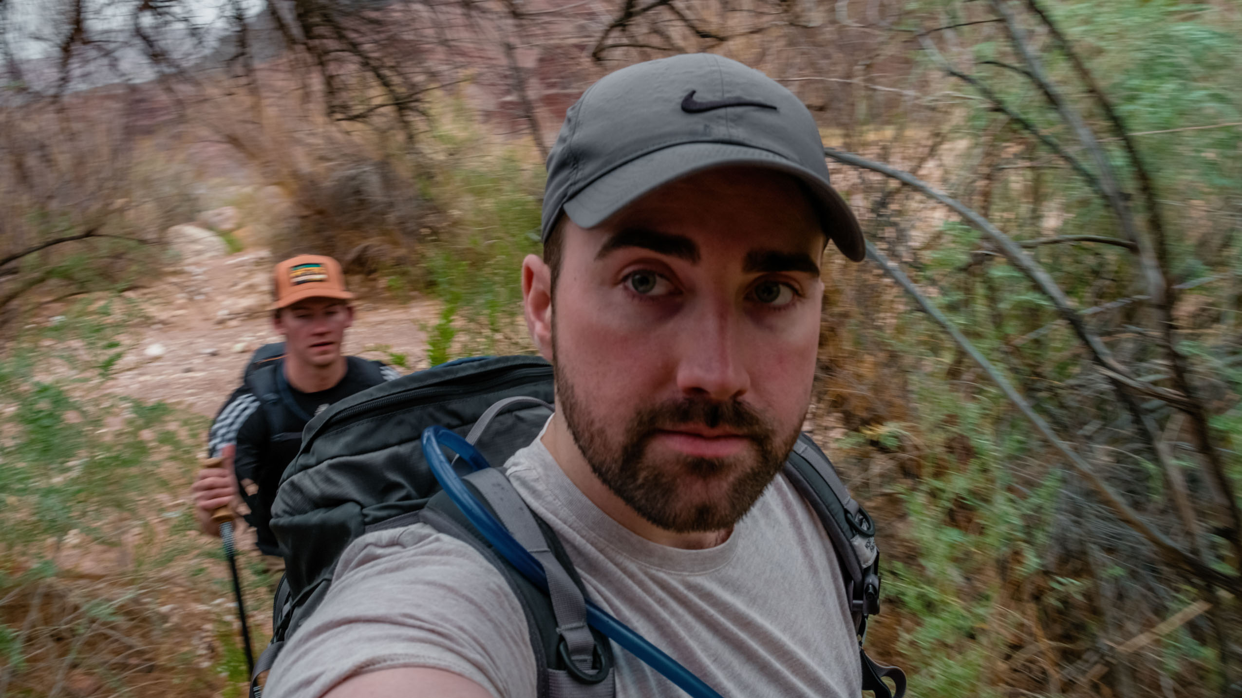
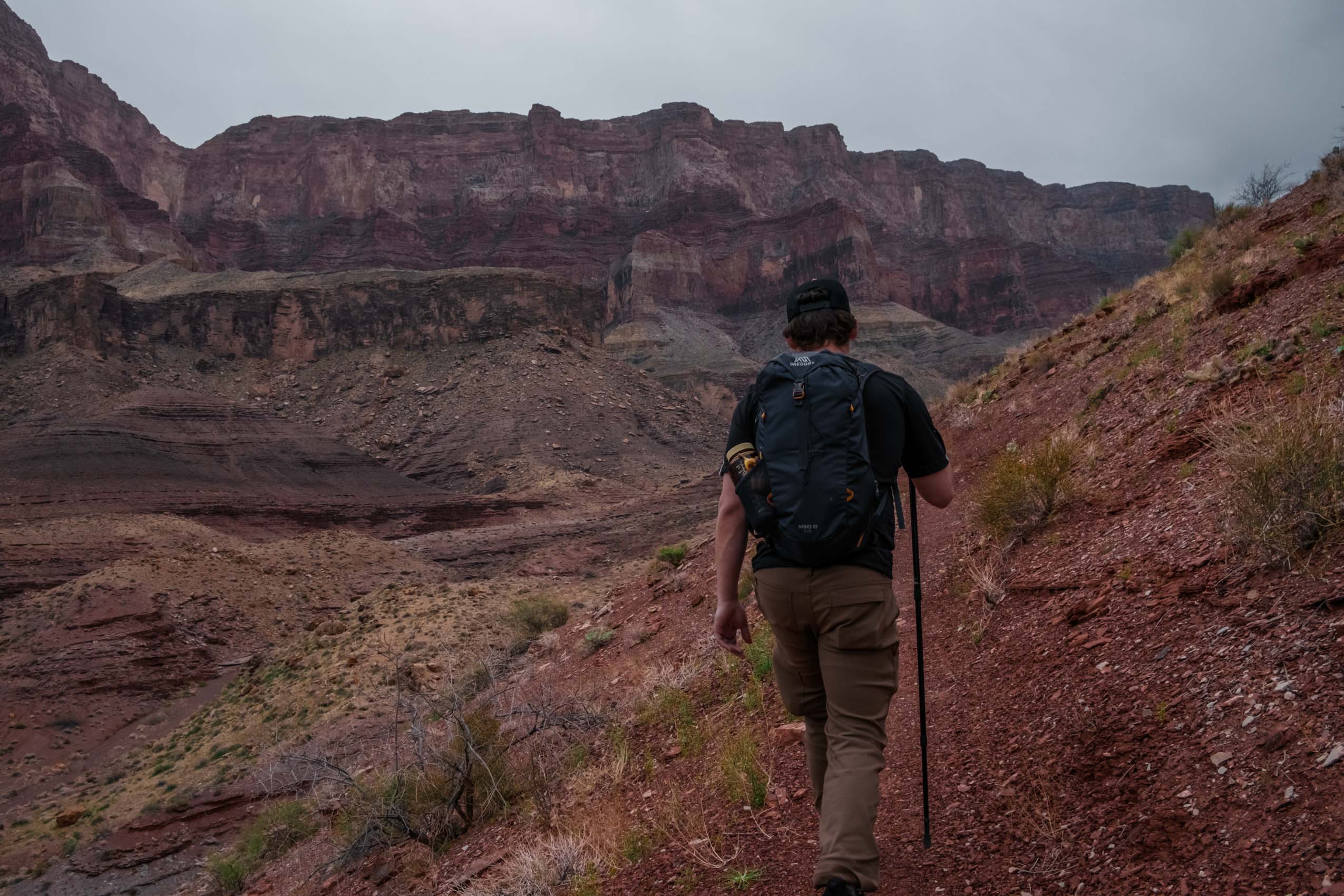
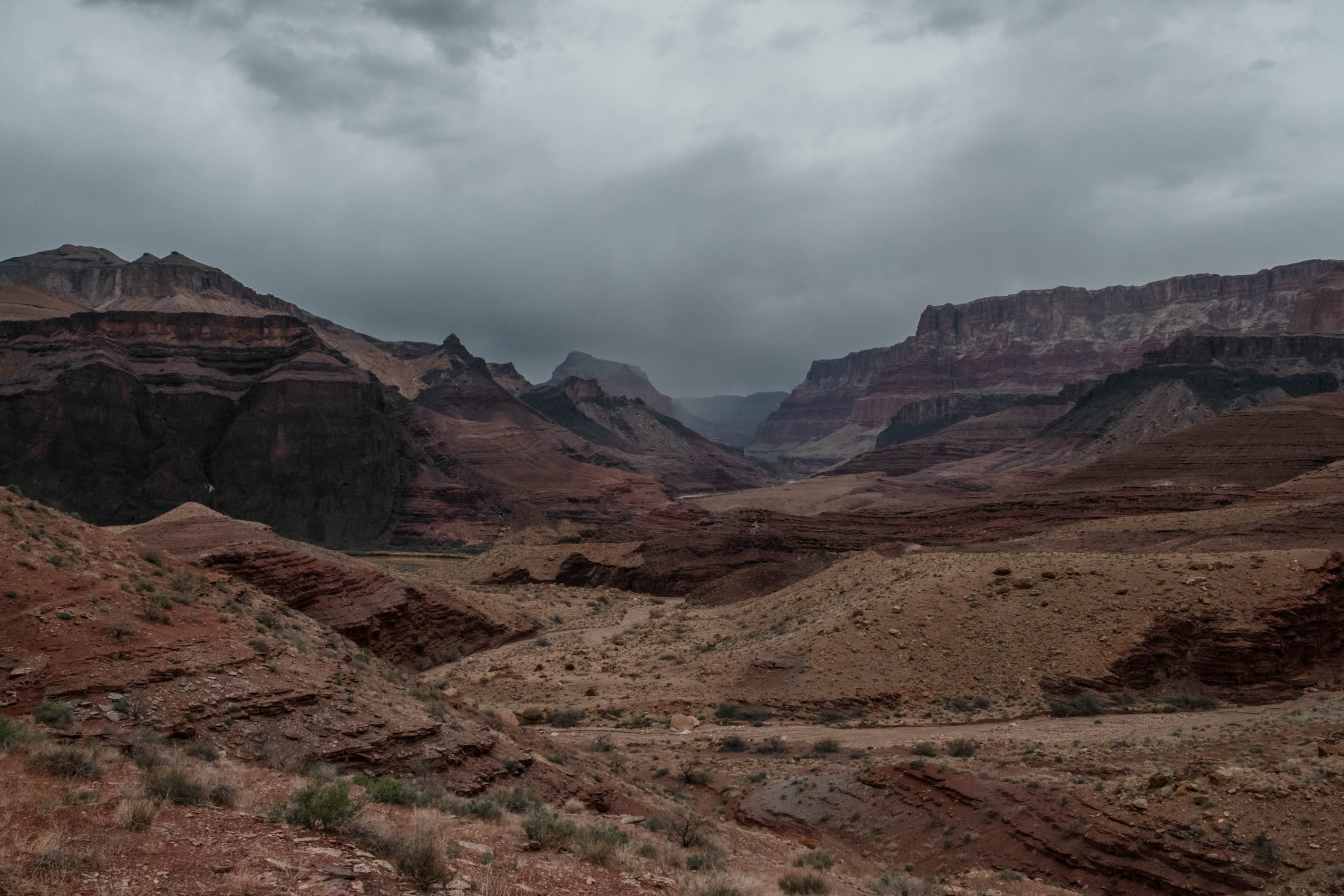
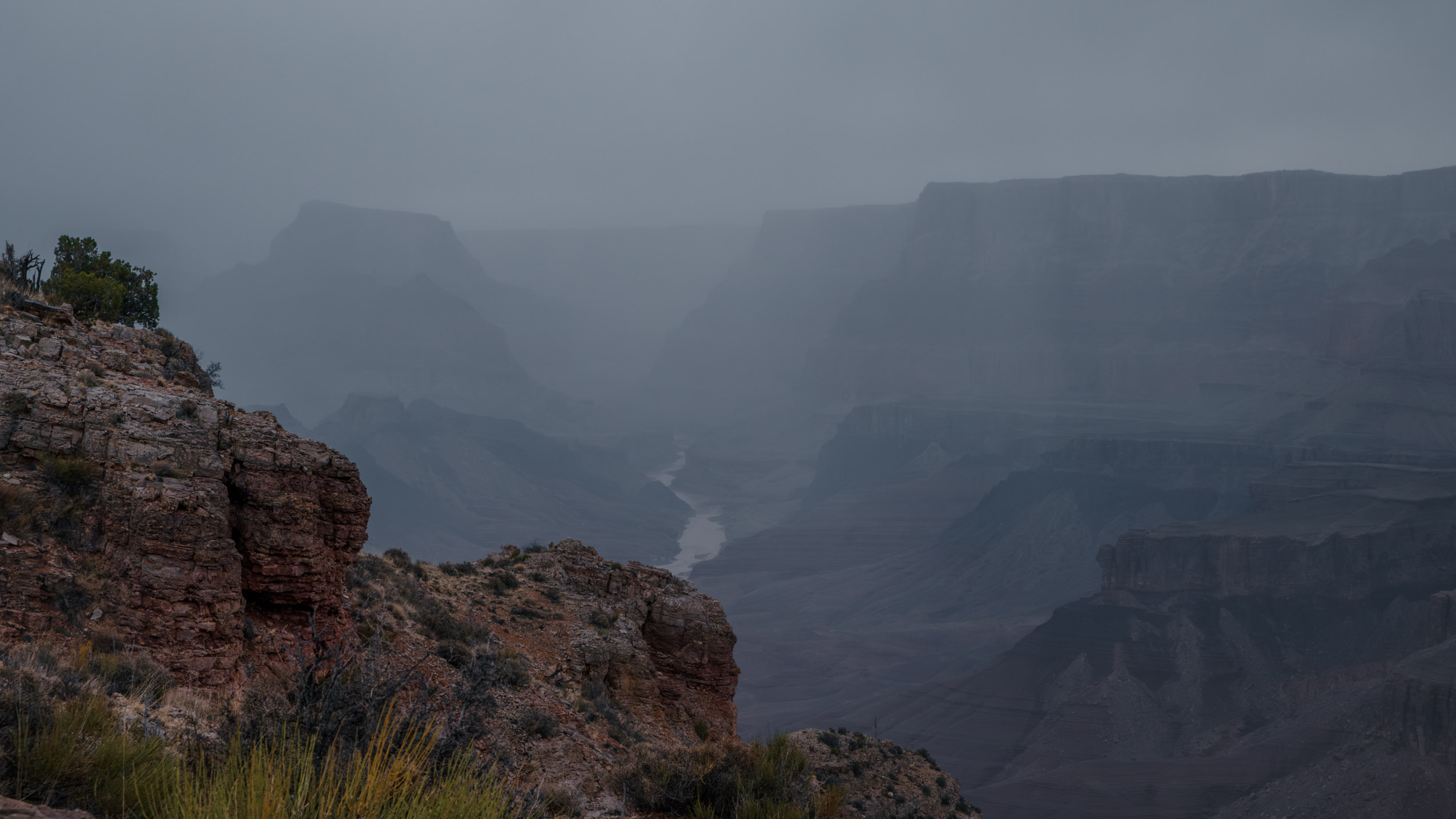
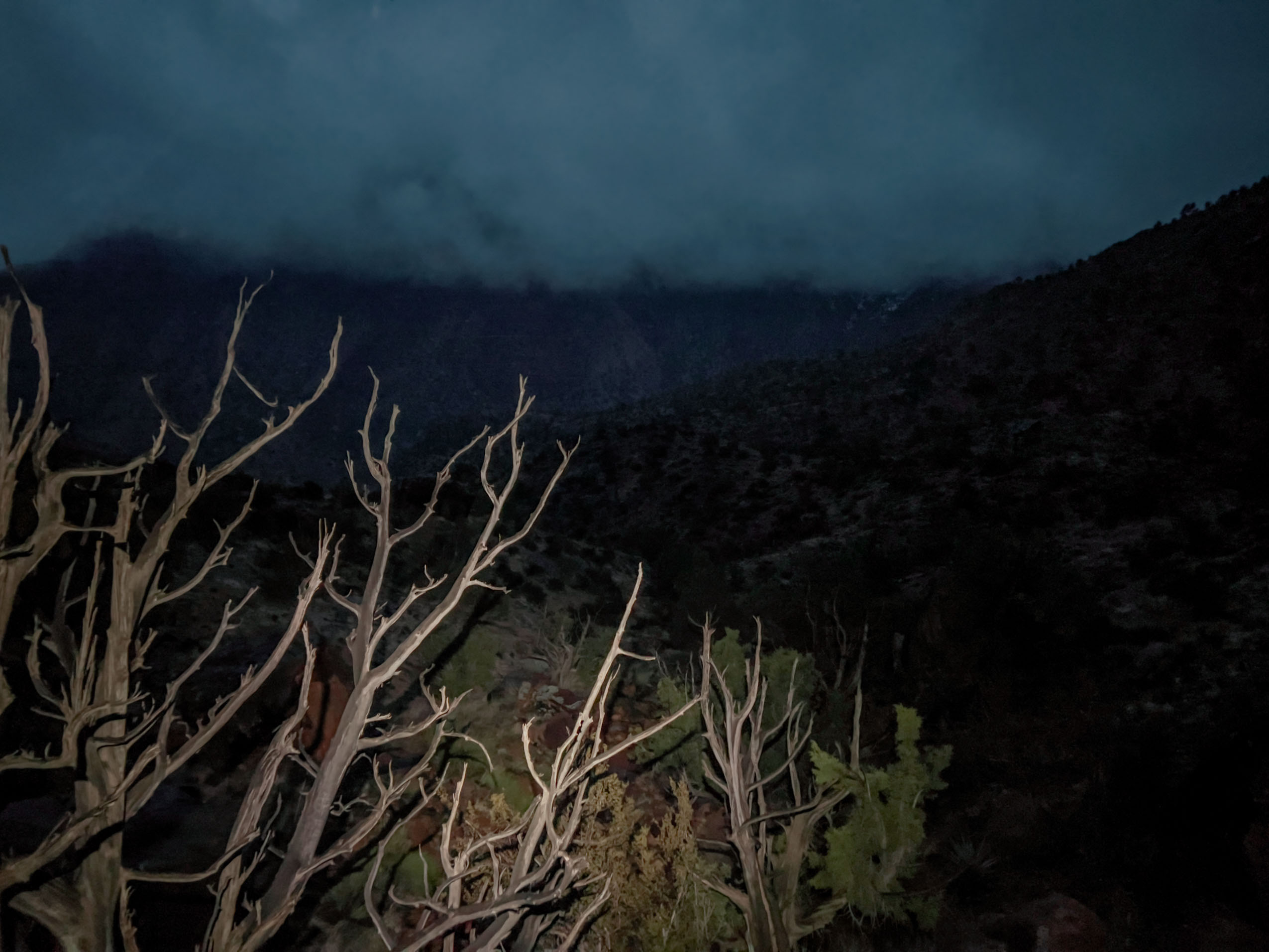
The Tanner Trail is one of the Grand Canyon’s lesser traveled routes, starting from the eastern part of the South Rim away from Grand Canyon Village and more popular Corridor trails like Bright Angel and South Kaibab. In fact, the Tanner Trail is not officially maintained by the park service, only staying somewhat defined as a trail by the few hikers who traverse it. We’d decided on this trail because I had hiked the Corridor trail system a few times already, and the Tanner Trail presented a new challenge. Whereas most people simply hike the Tanner trail going down as a part of the Escalante Route, we were planning on hiking the trail down to the river and back up in a single day, a 14.3 mile round trip with about 5,400 feet of elevation loss/gain. I convinced myself this was a good idea having done the similarly long South Kaibab trail from rim to river and back a couple years earlier. What I didn’t appreciate, however, was just how different the Tanner Trail would be relative to the maintained, four-foot-wide South Kaibab trail.
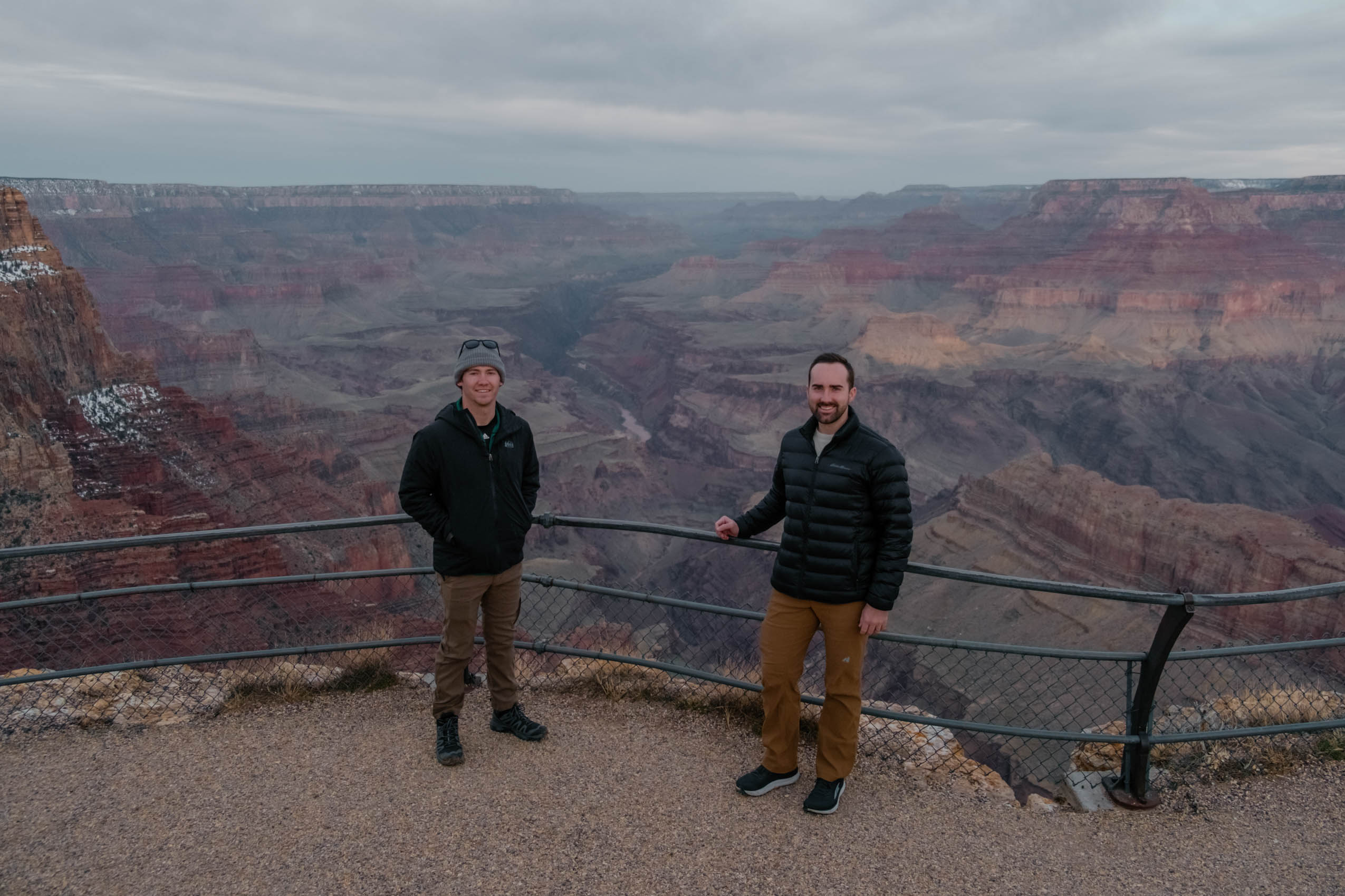
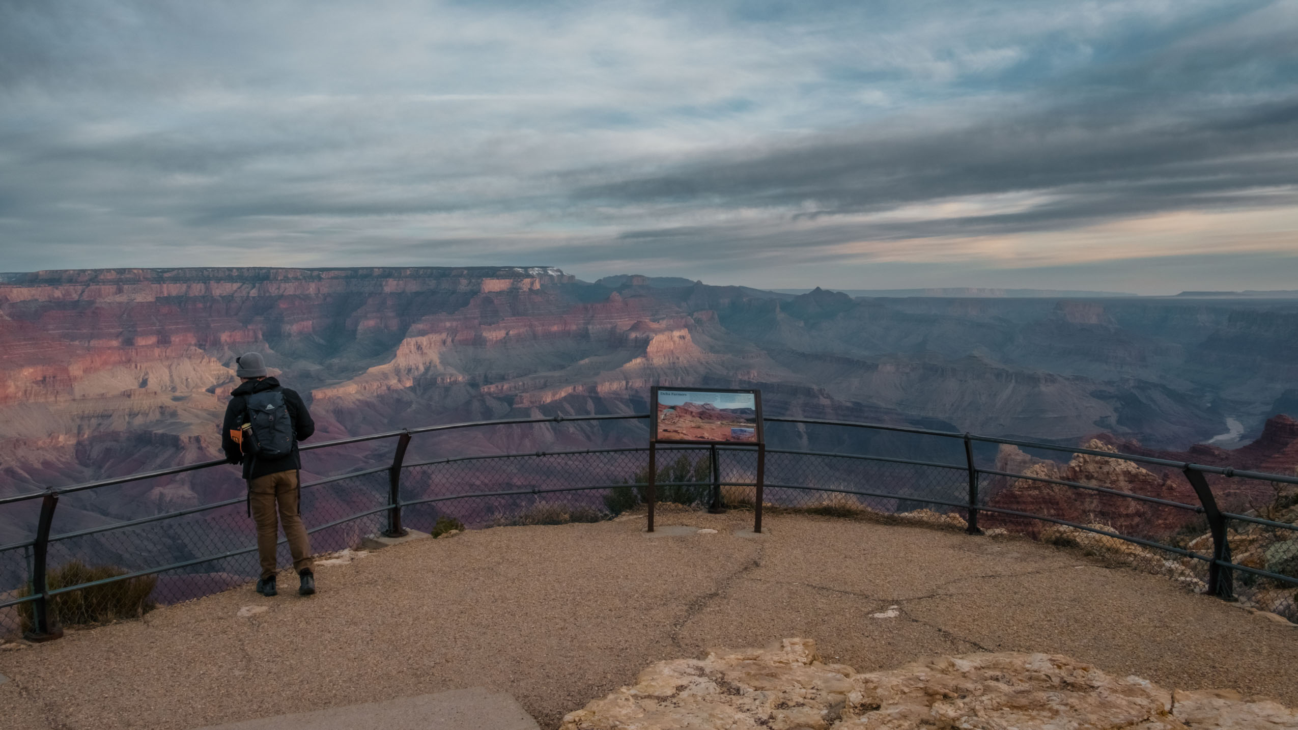
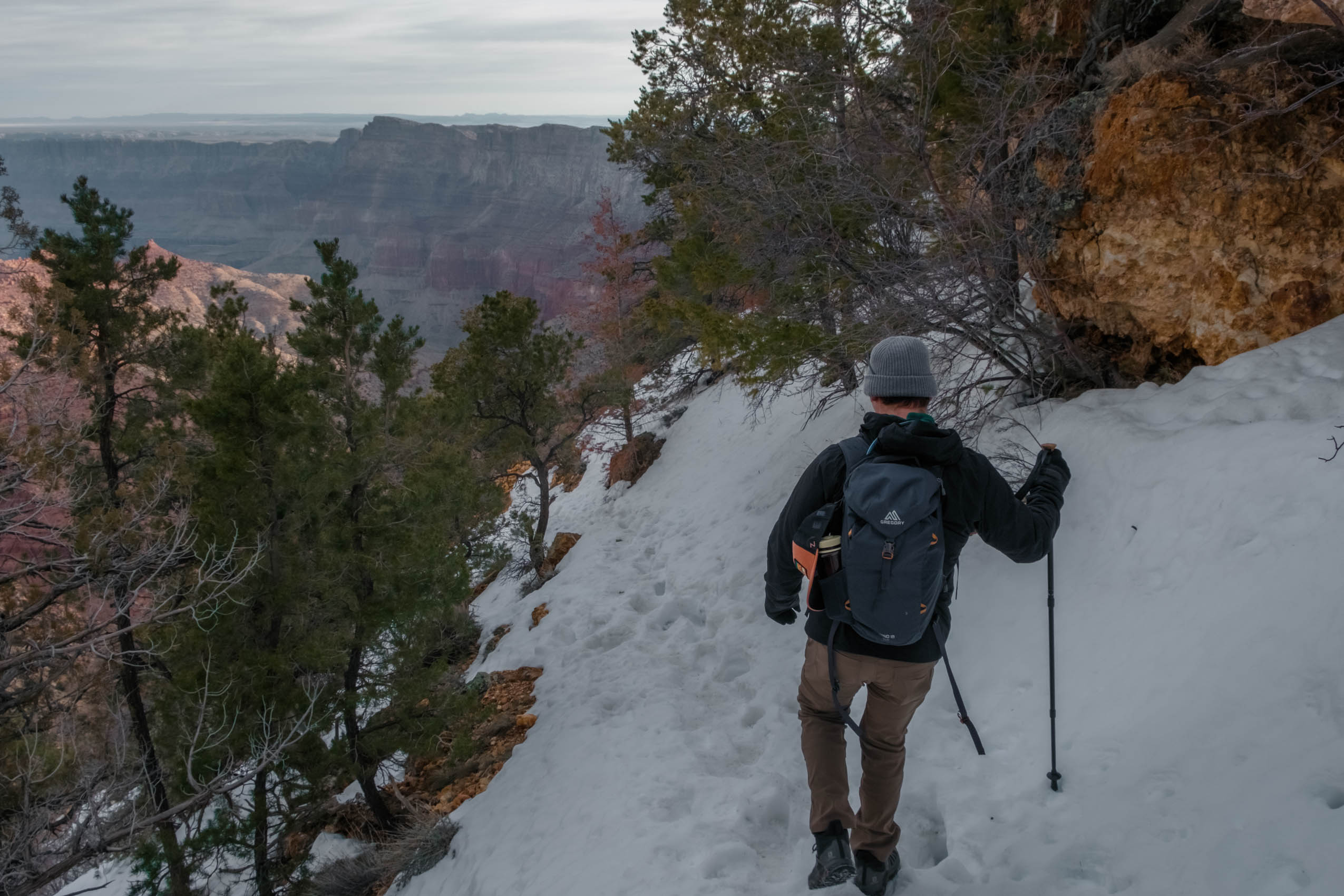
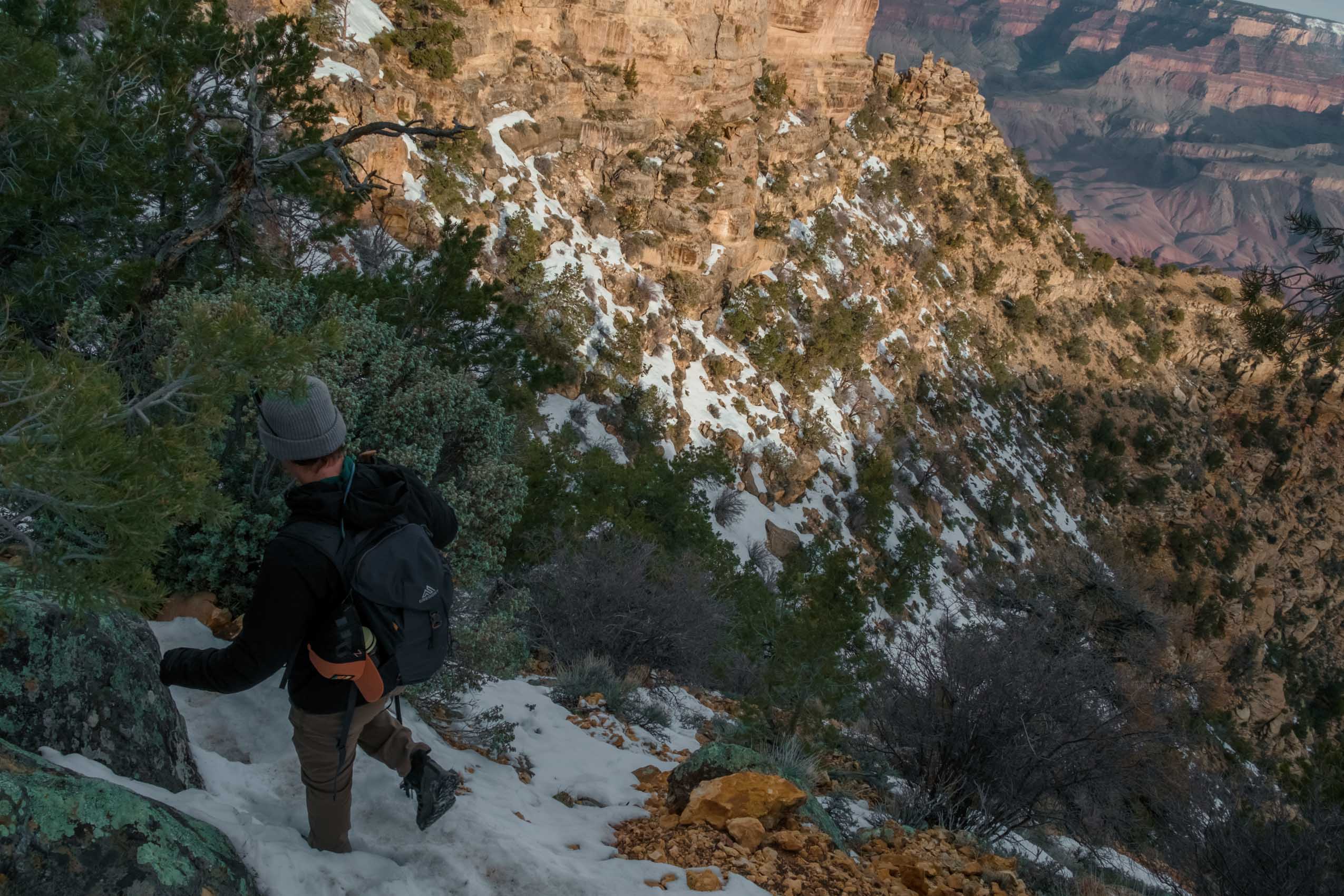
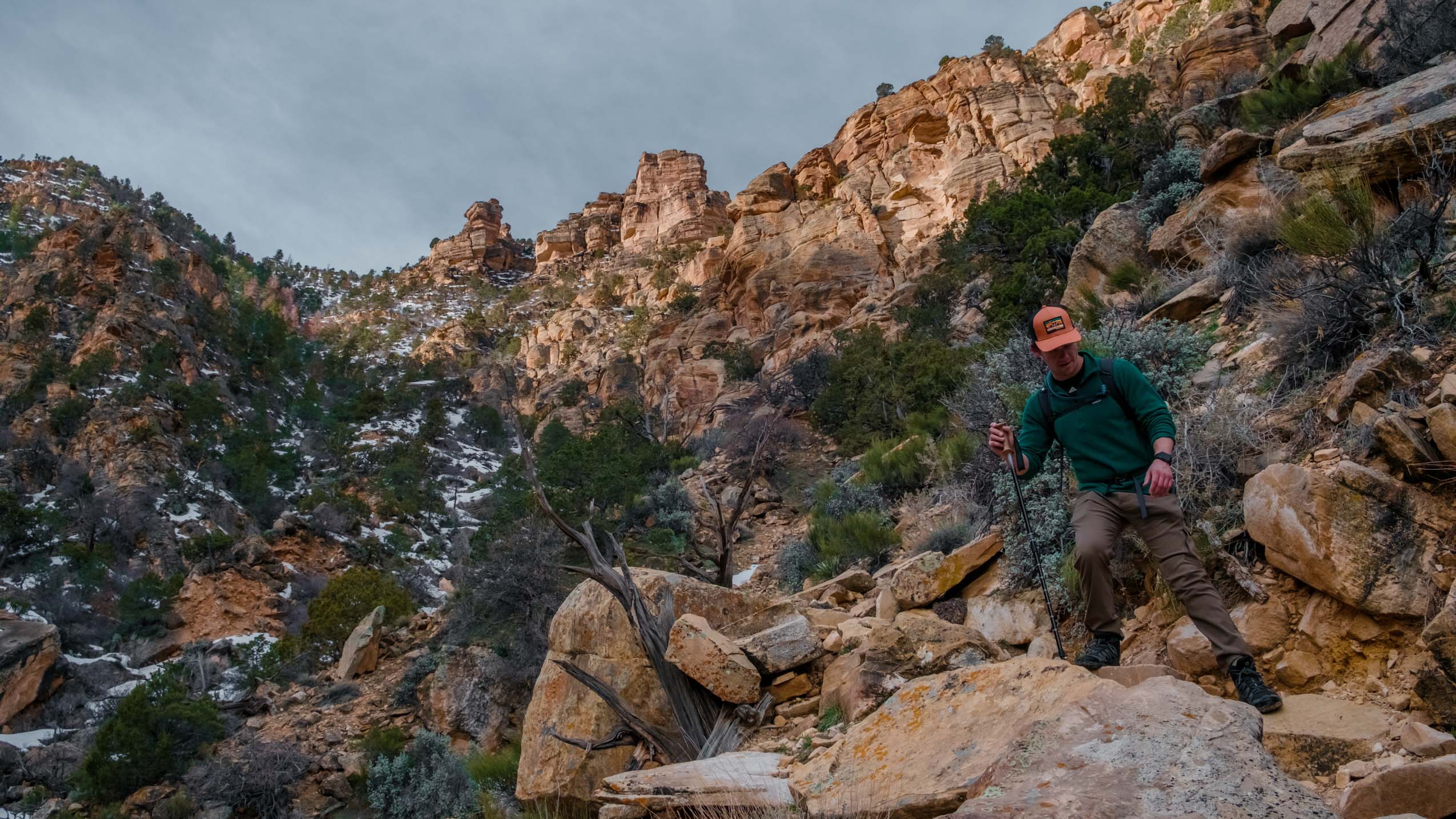
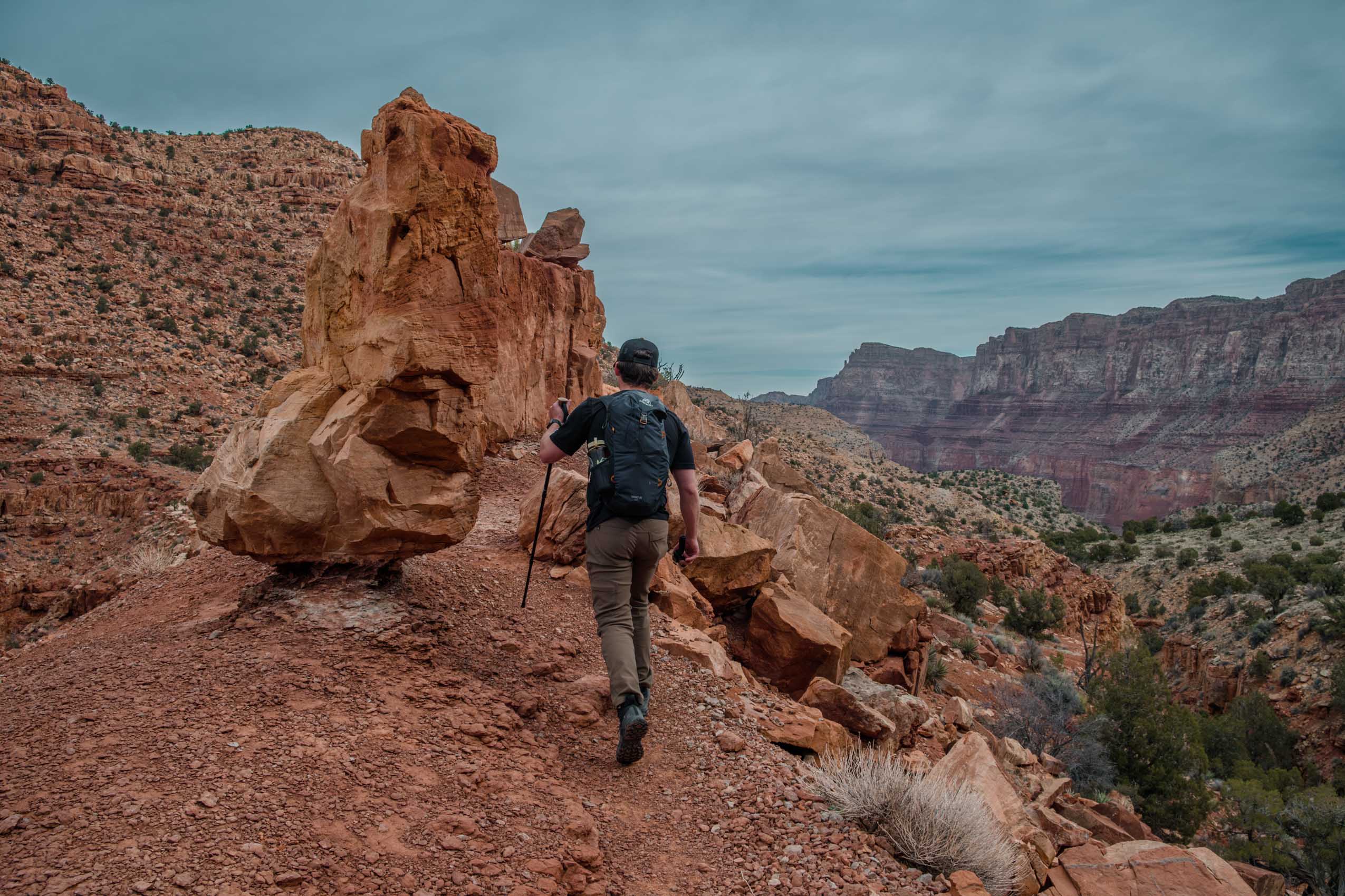
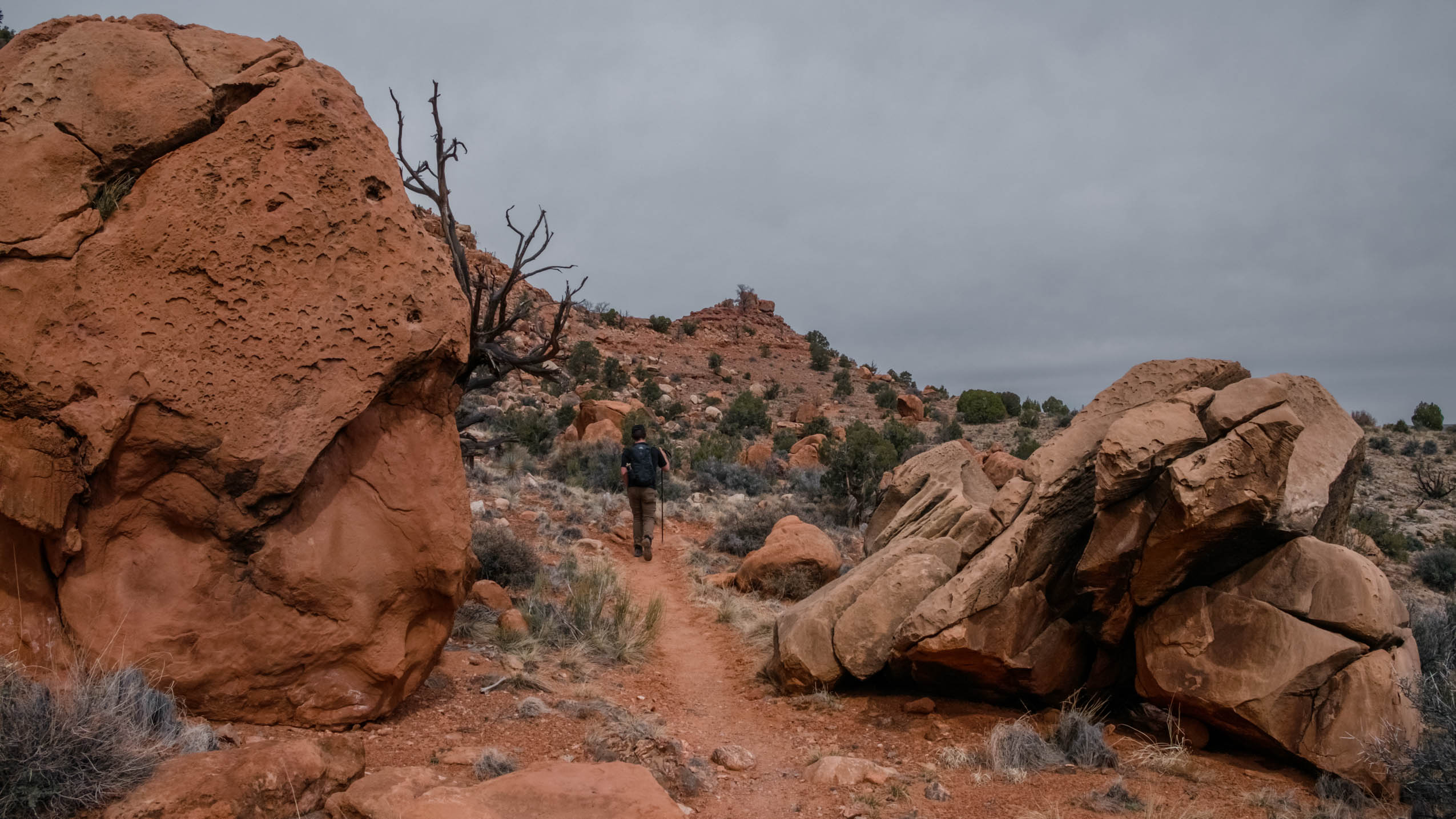
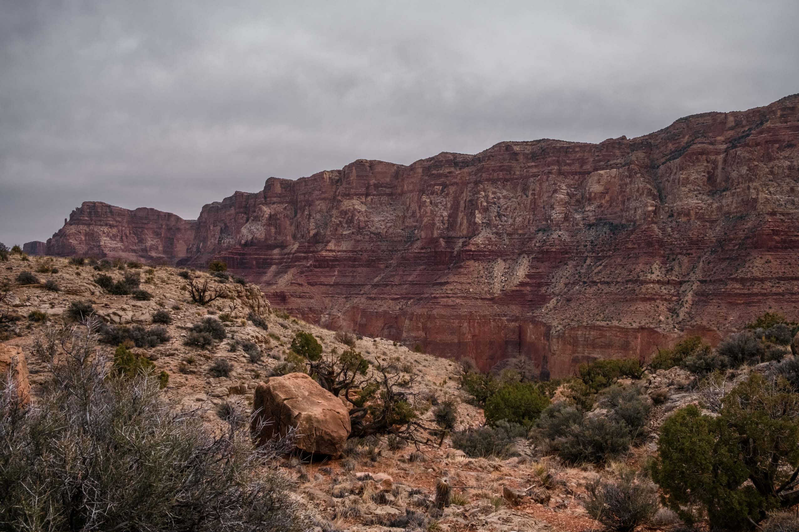
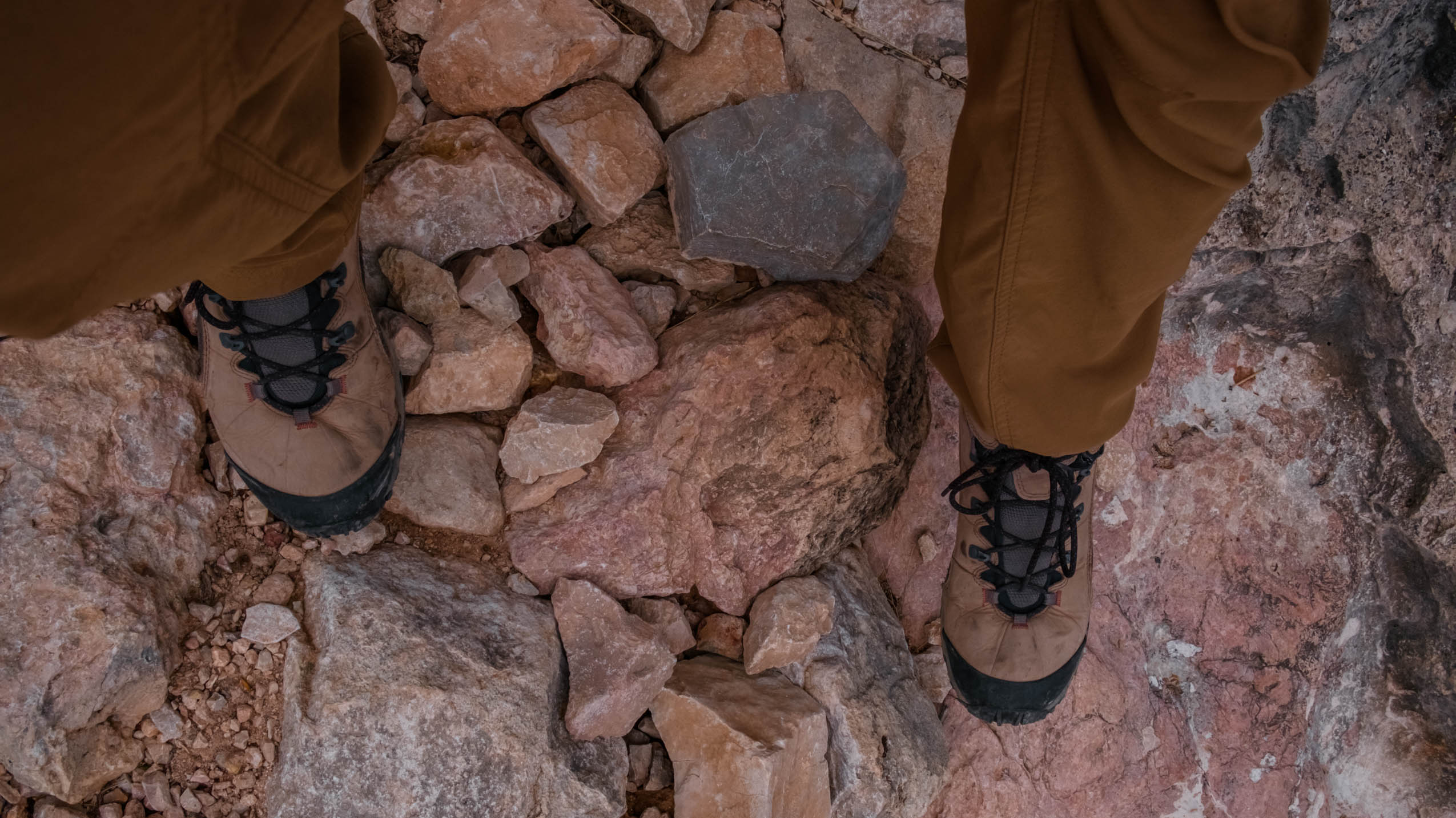
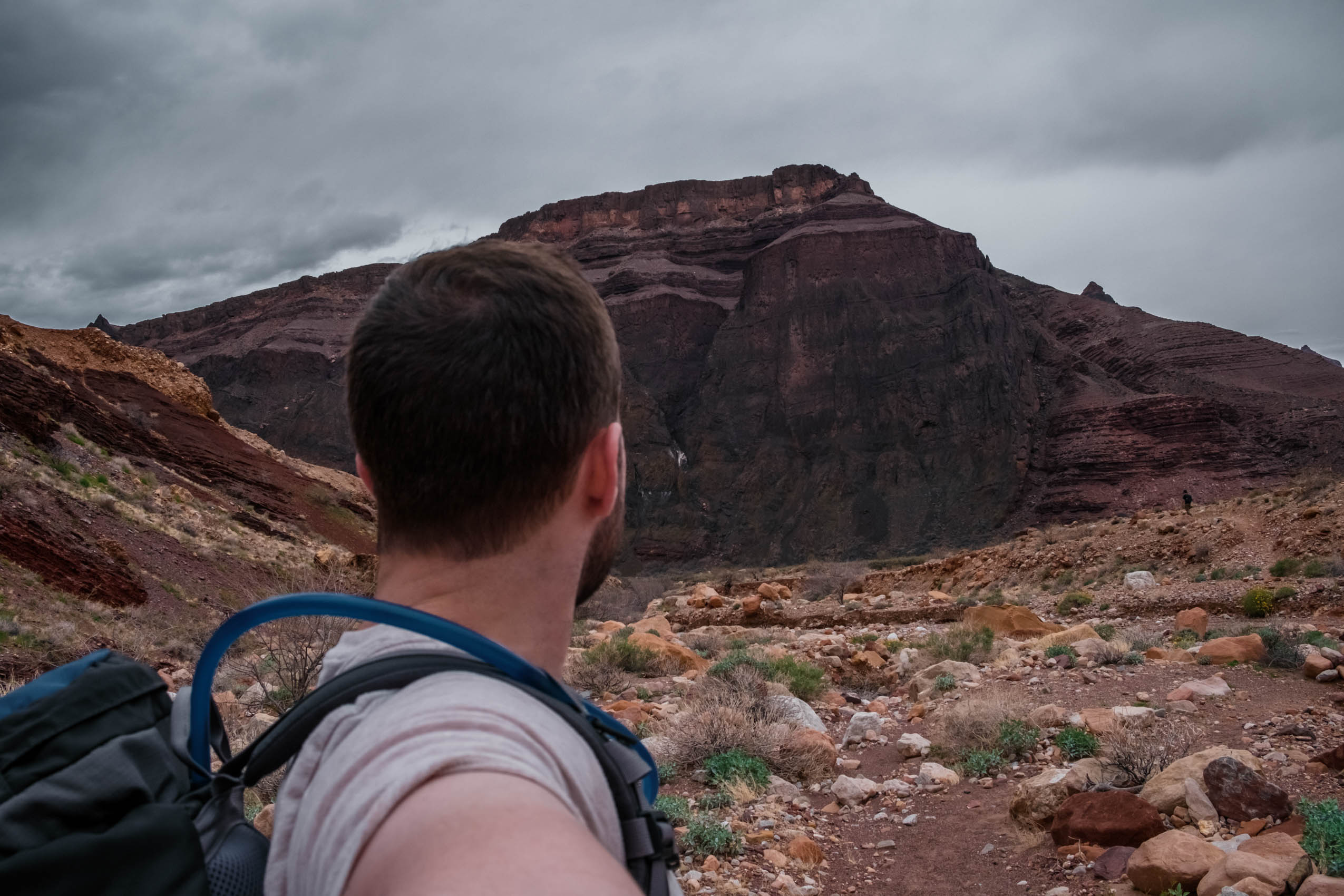
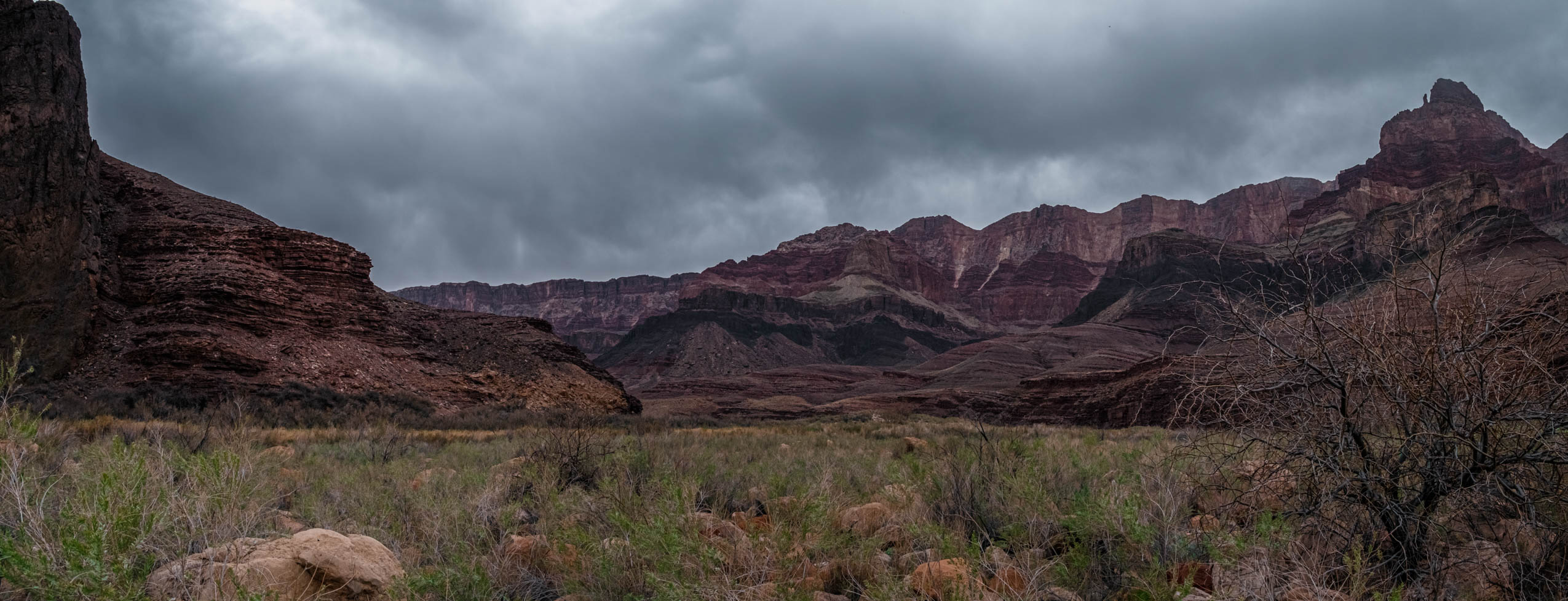
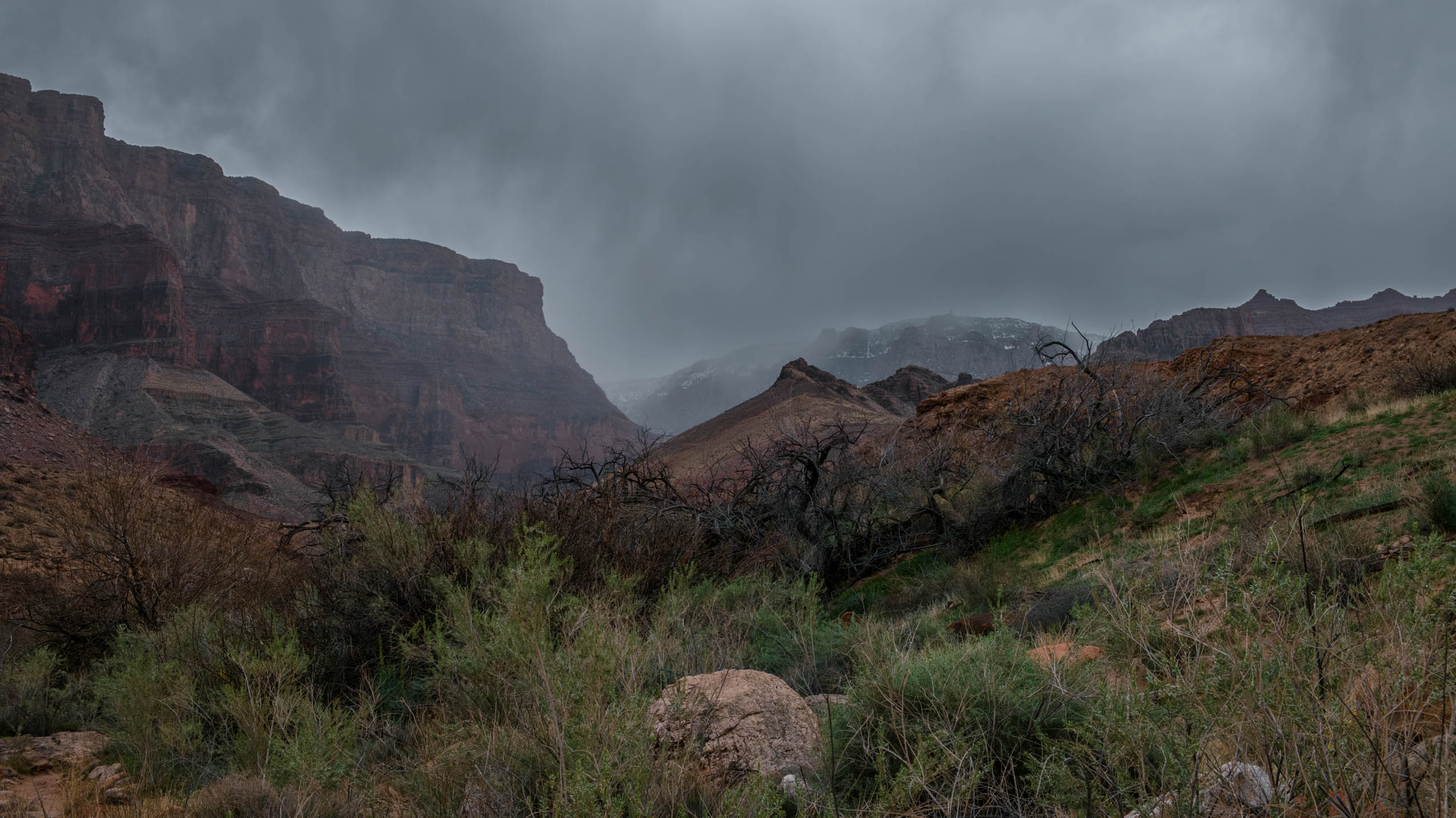
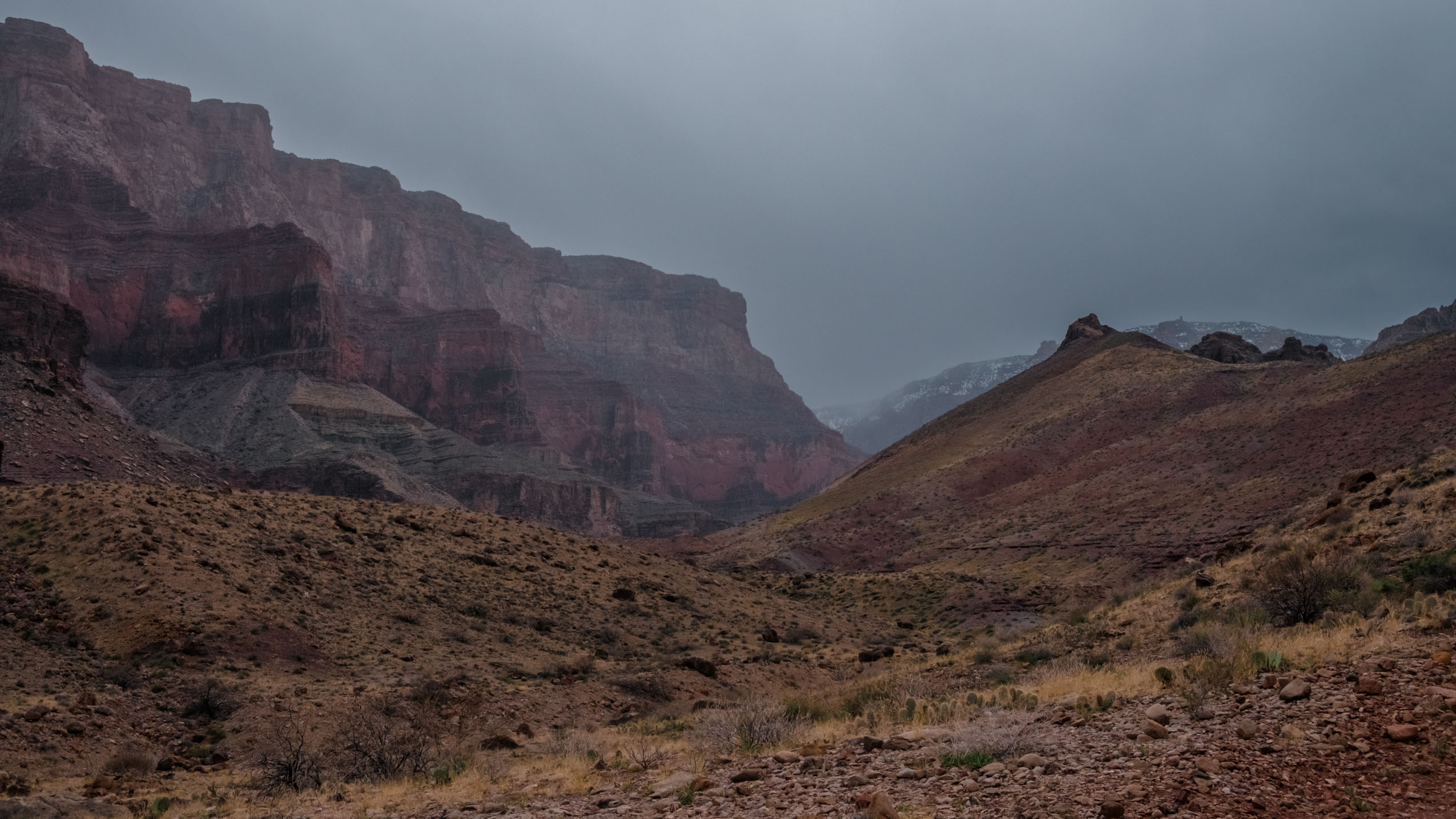
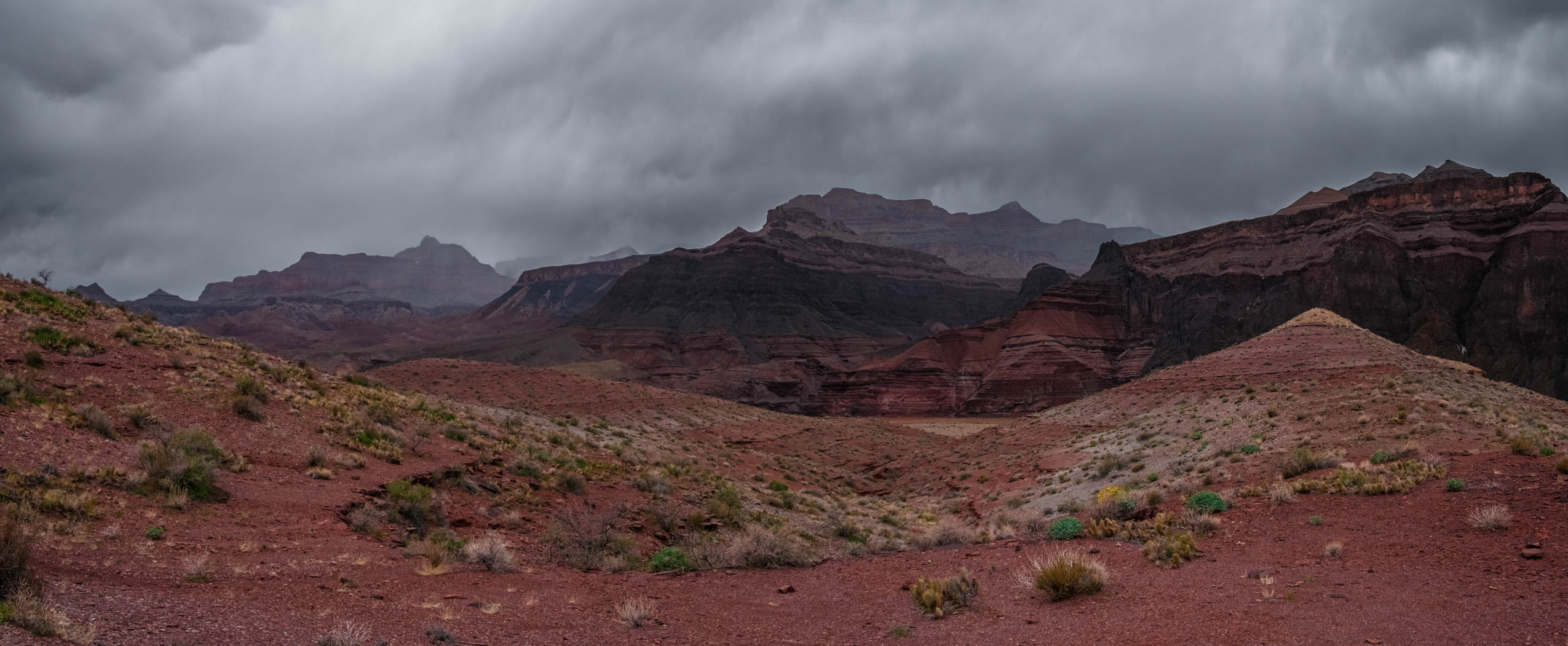
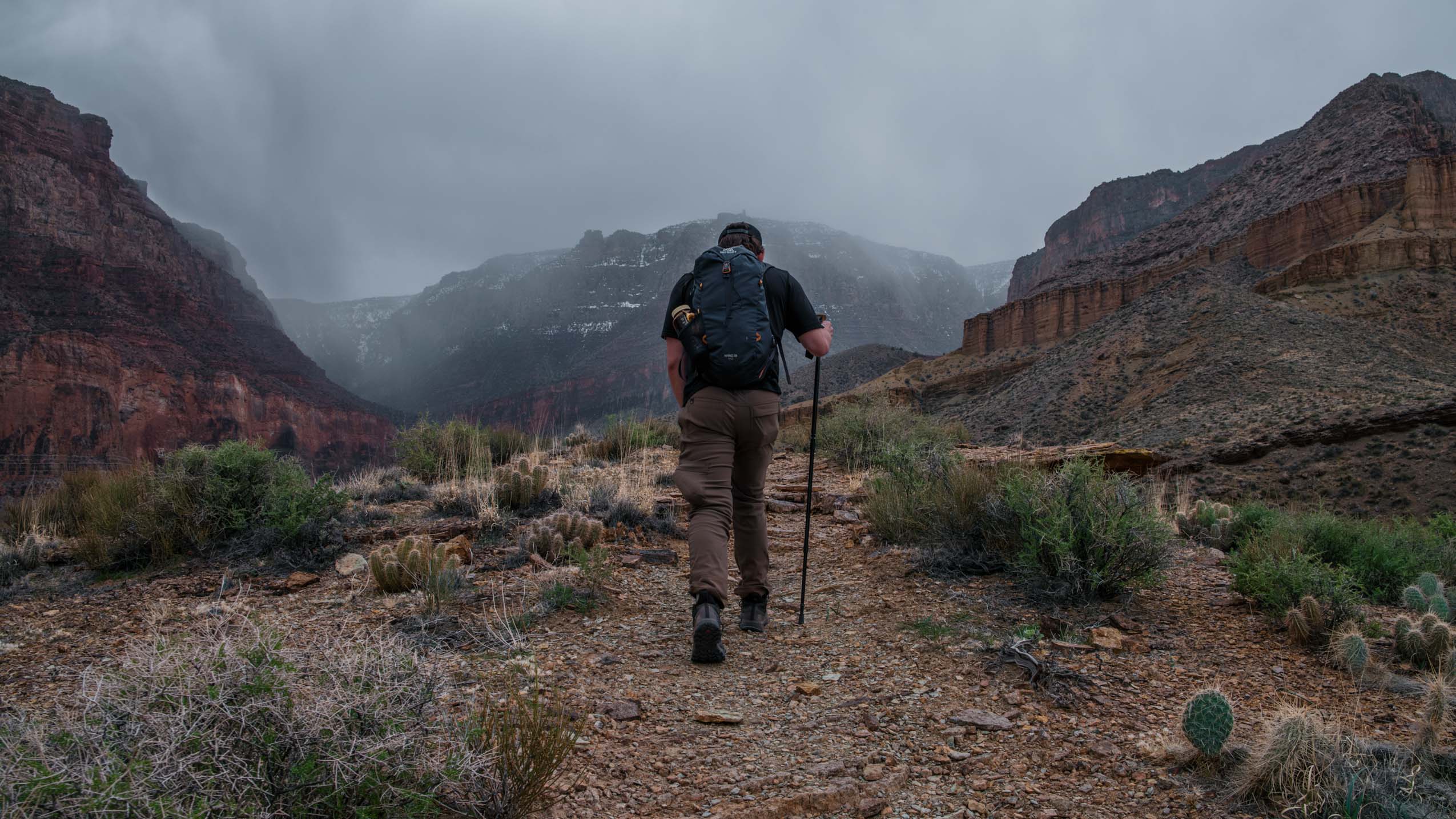
We arose before the Sun and headed into the park, stopping briefly at the trailhead to look down on this somehow more rugged-appearing portion of the canyon. And then, we set off. Our progress was slow at first as we traversed a seemingly endless collection of switchbacks covered by about two feet of snow, being careful not to lose our footing on the slush. Eventually, the snow was behind us and our pace picked up, but just barely. The trail is not well defined in some spots, forcing some time expenditure in route finding. Furthermore, the trail is intermittently covered by grapefruit sized rocks, requiring near constant attention to your footing. In fact, during one of our mid-trail breaks, I gave my attention a break while standing still taking in the views and a minor repositioning of my foot caused me to awkwardly step on a perfectly positioned rock and roll my ankle. This anterior talofibular ligament sprain reared its head a few times throughout this hike in the form of searing pain and unexpected collapses, and I’ve been dealing with the residual instability ever since.
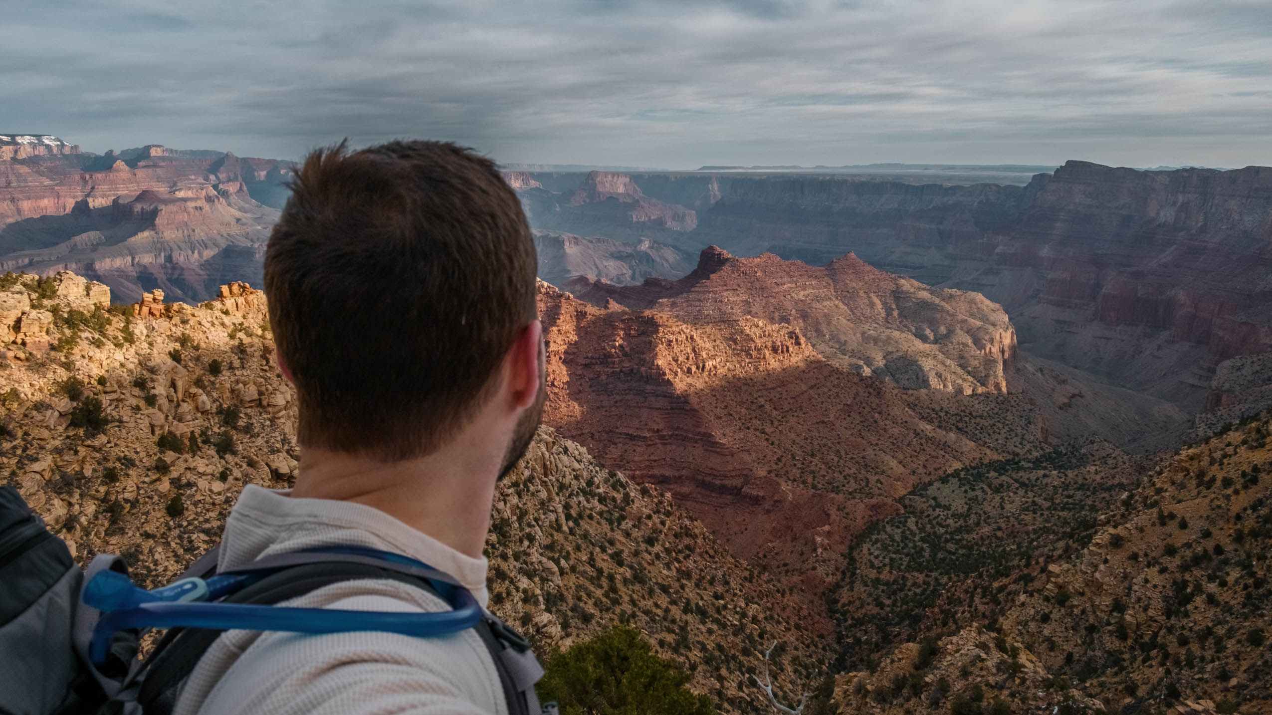
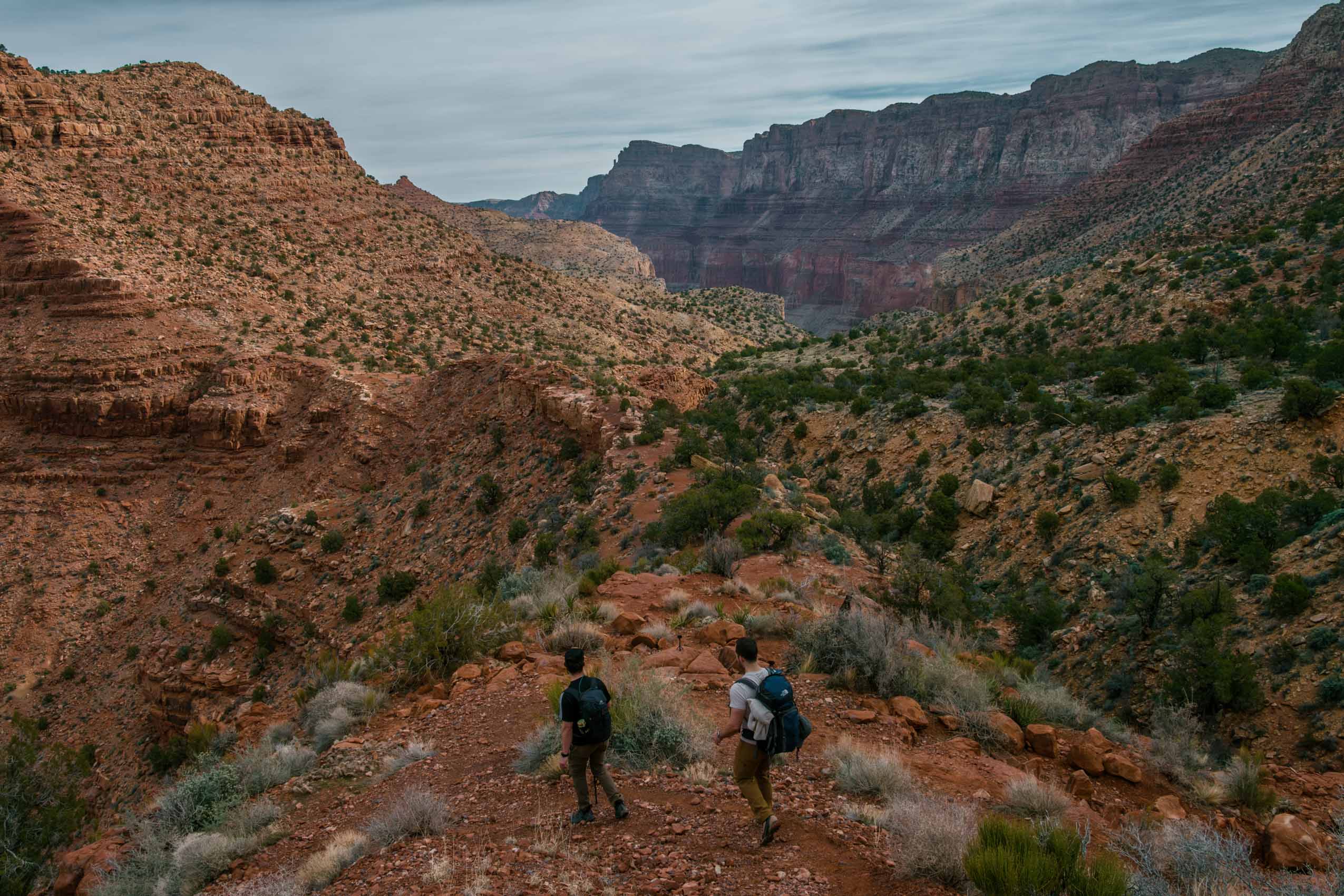
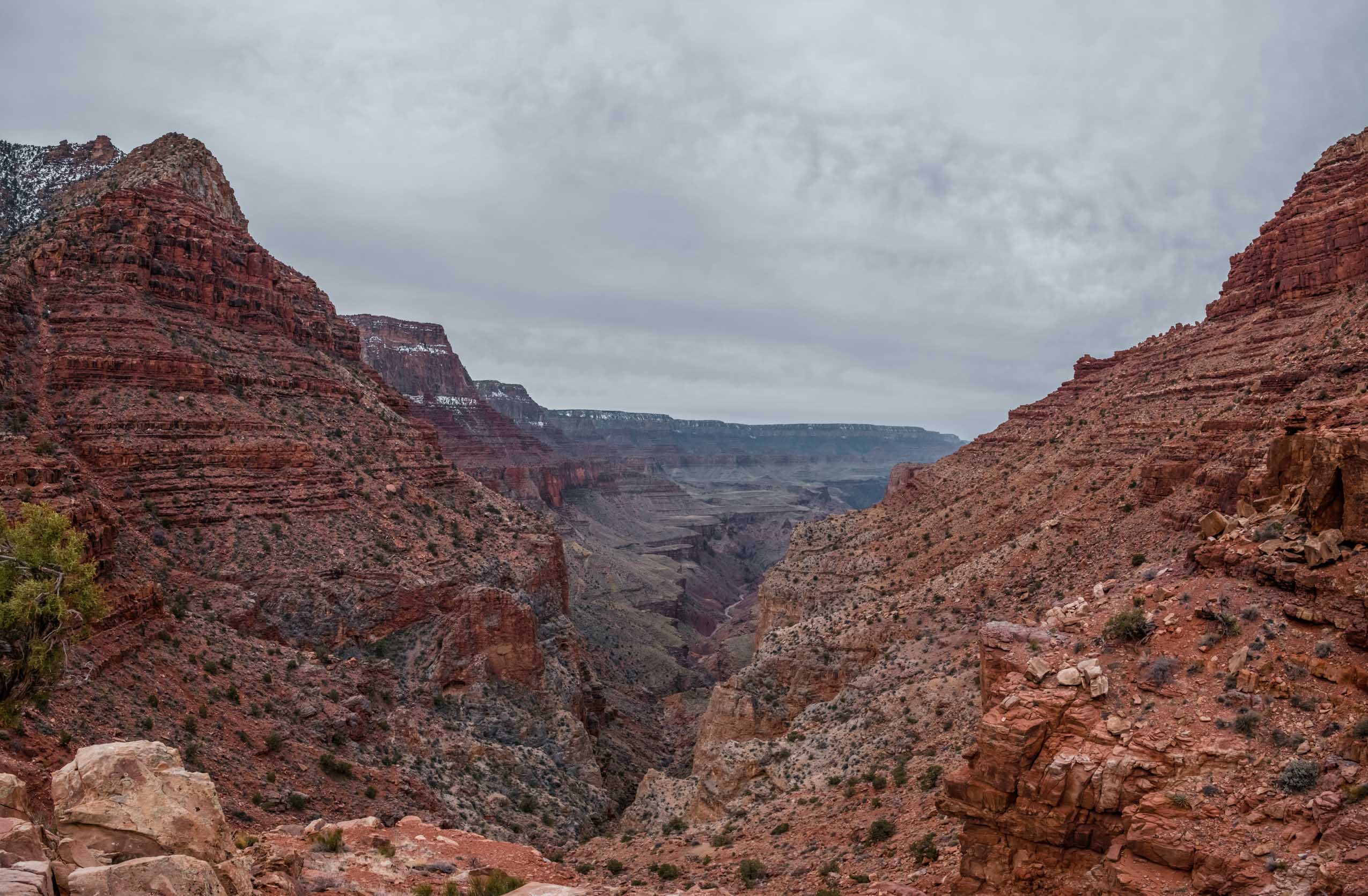
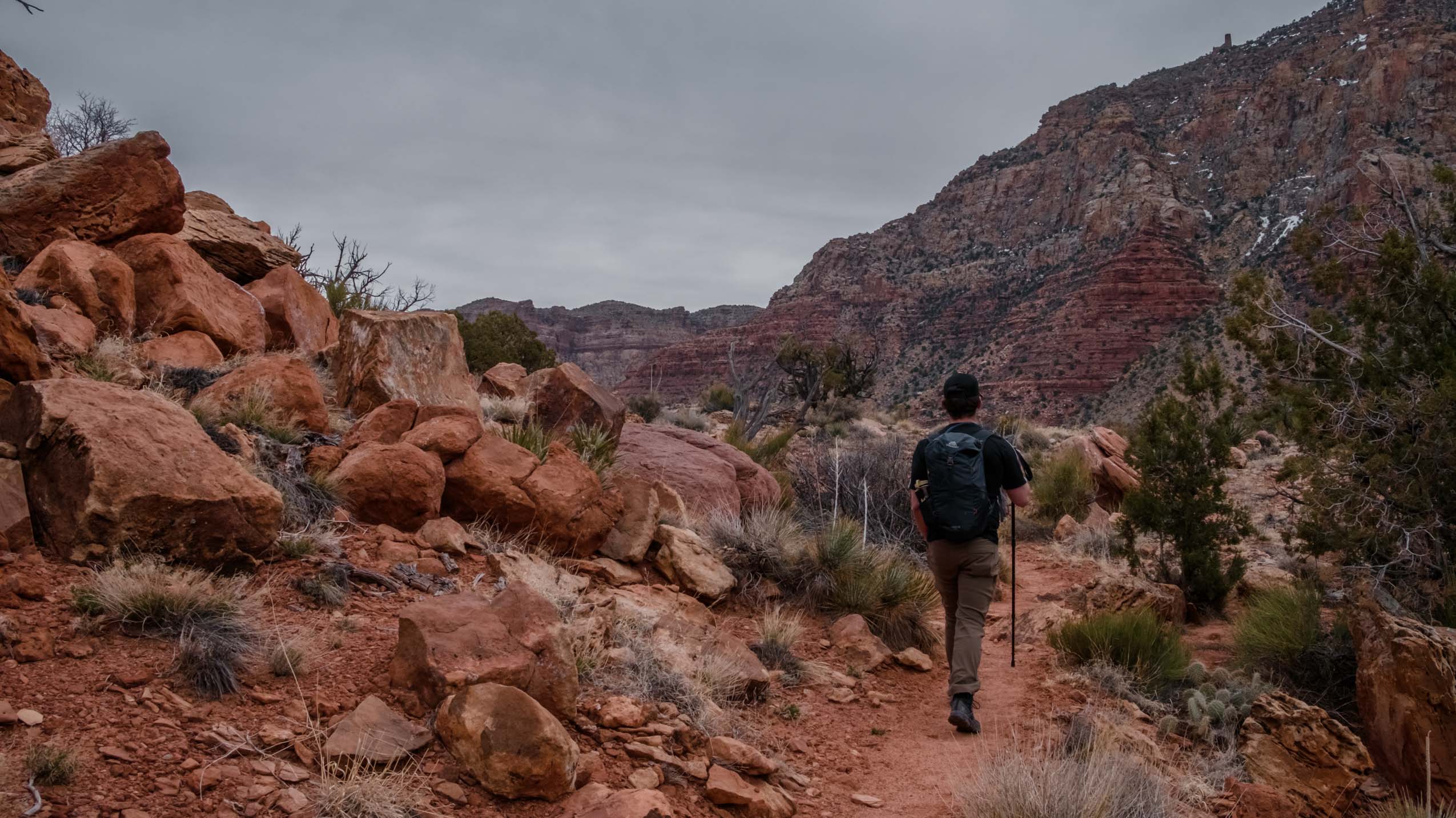
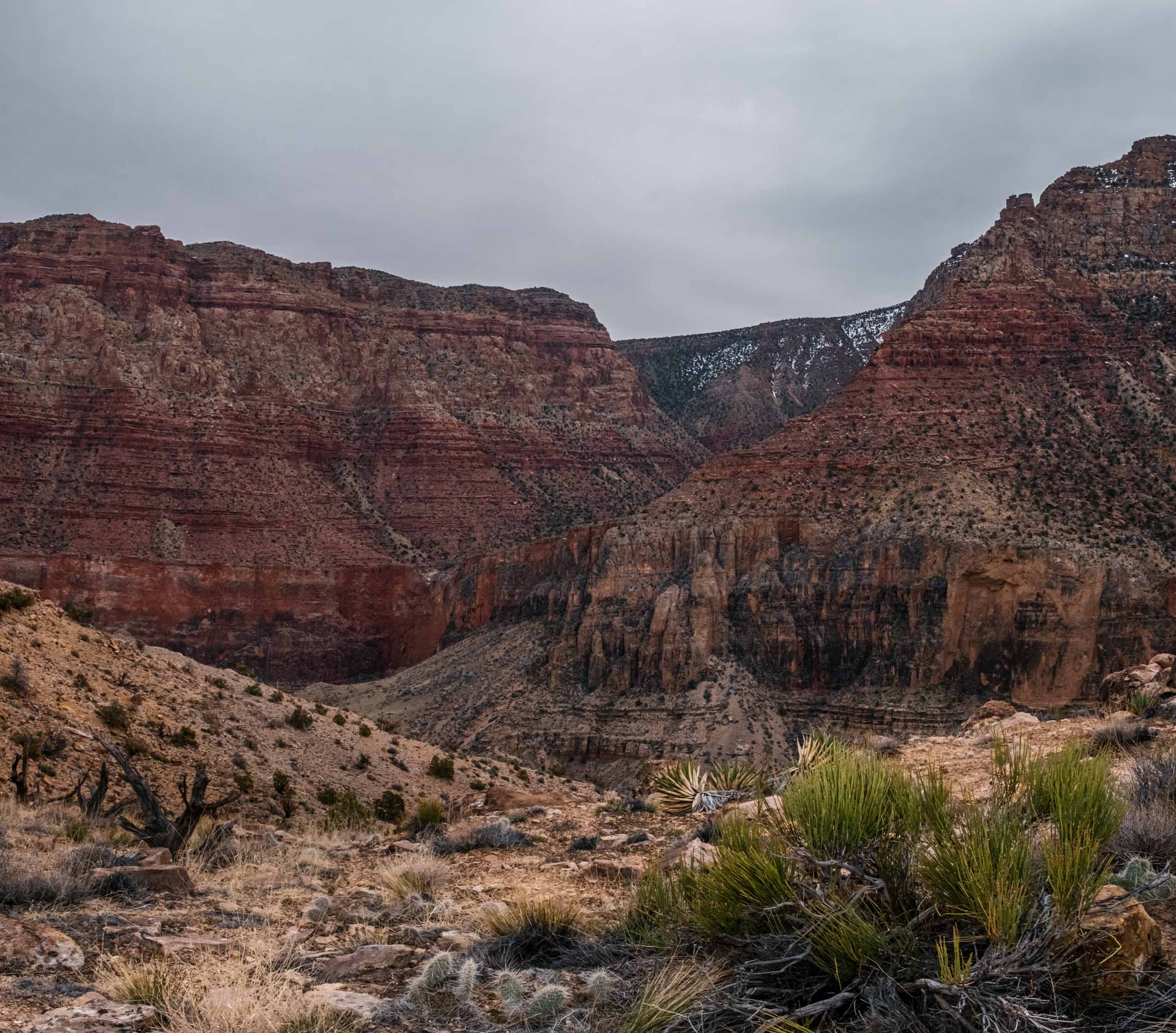
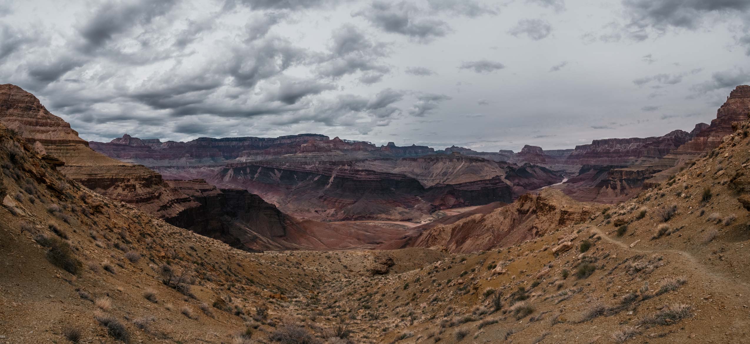
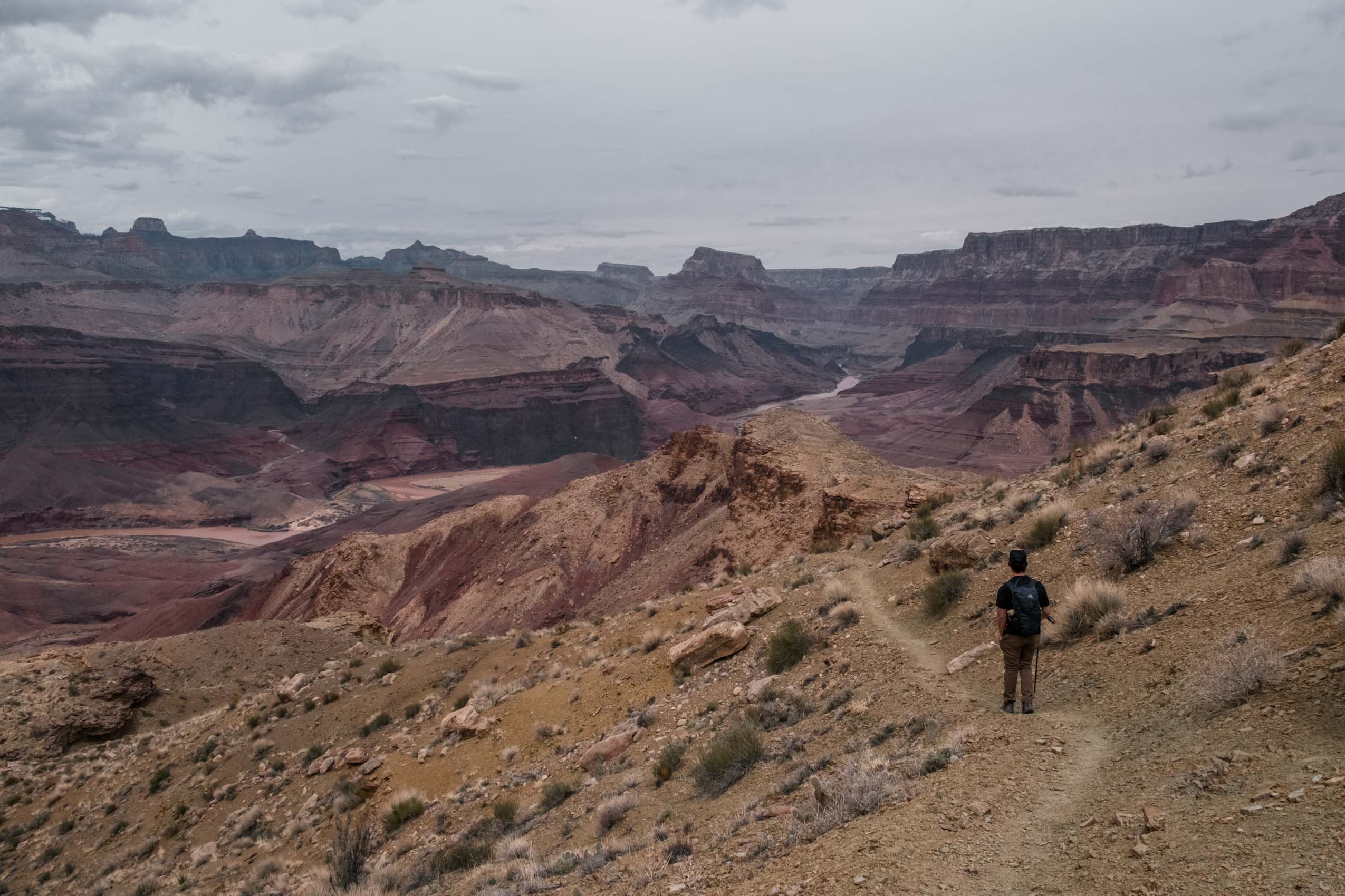
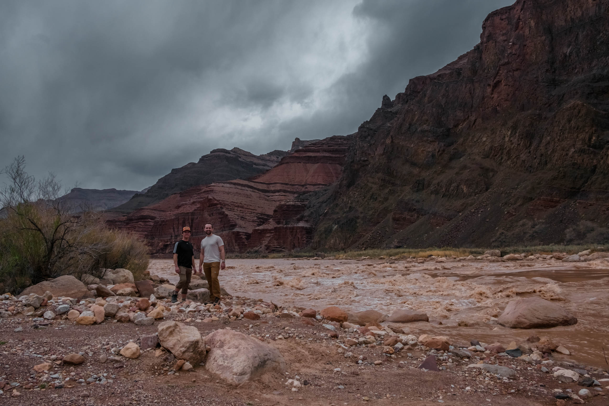
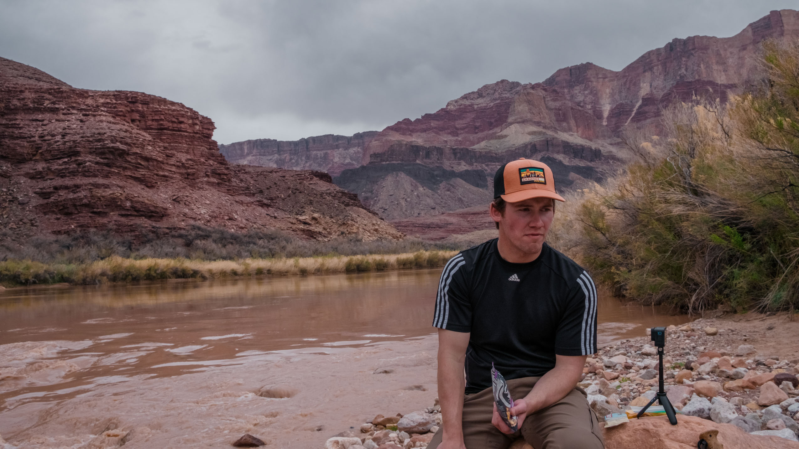
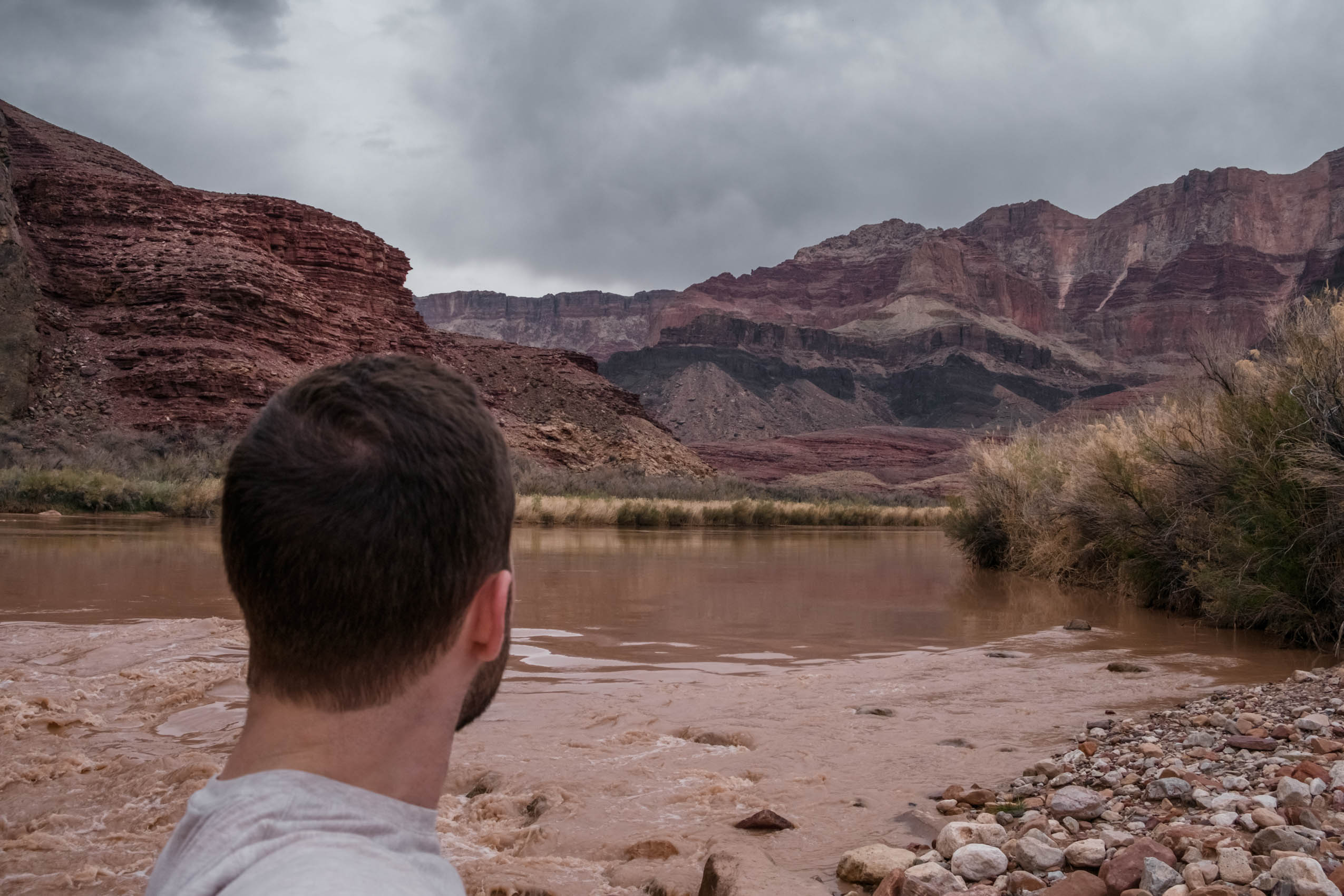
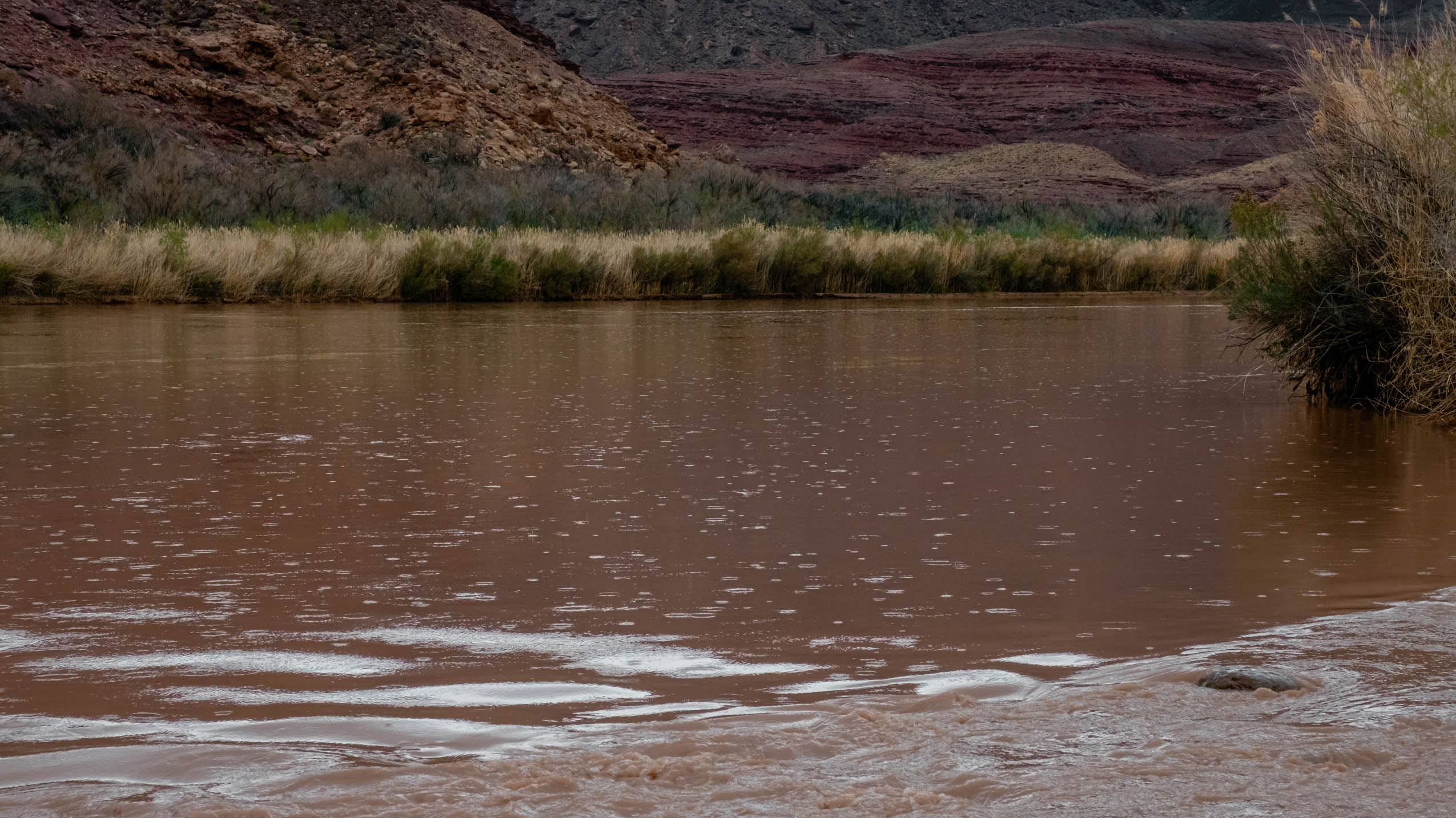
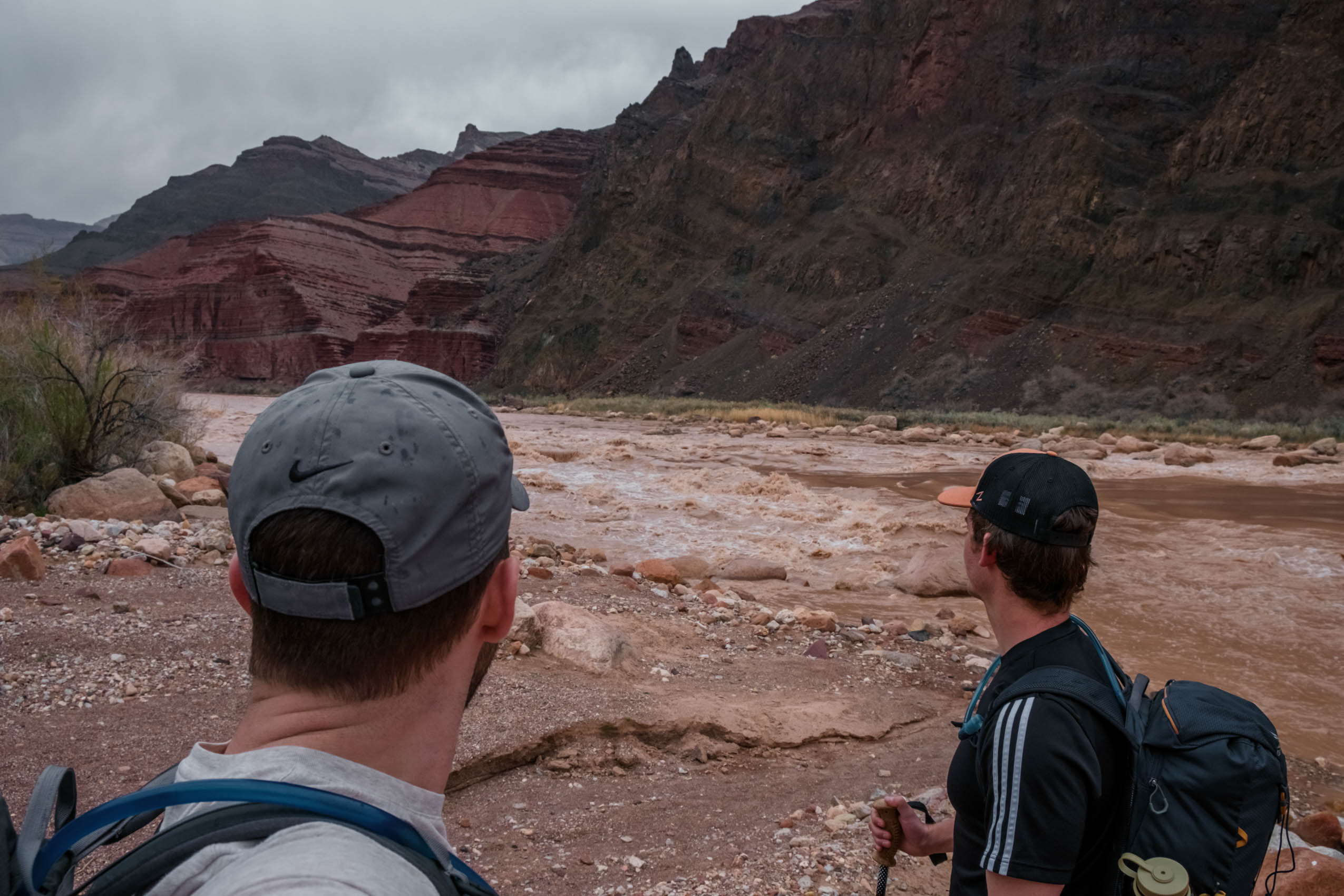
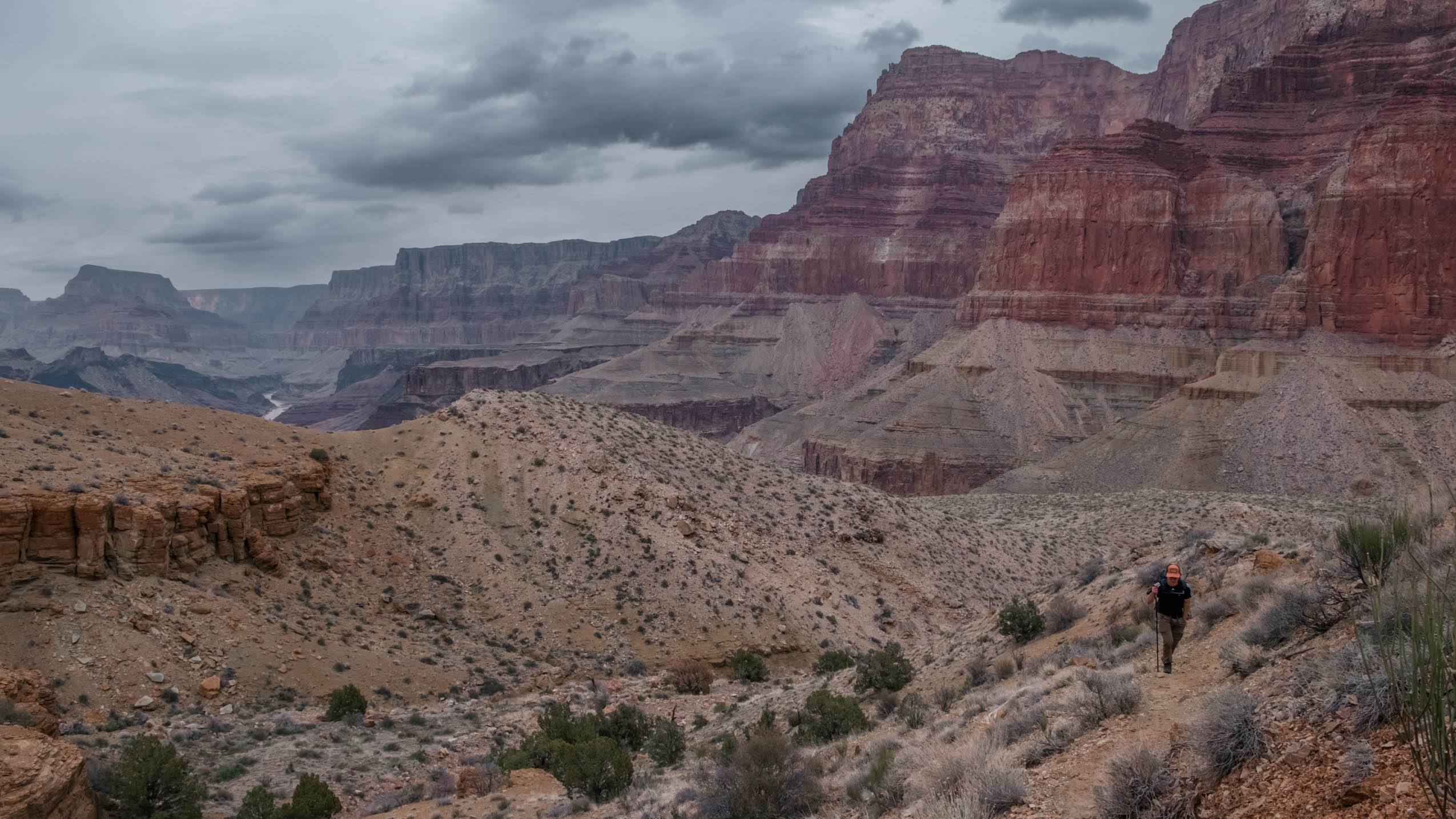
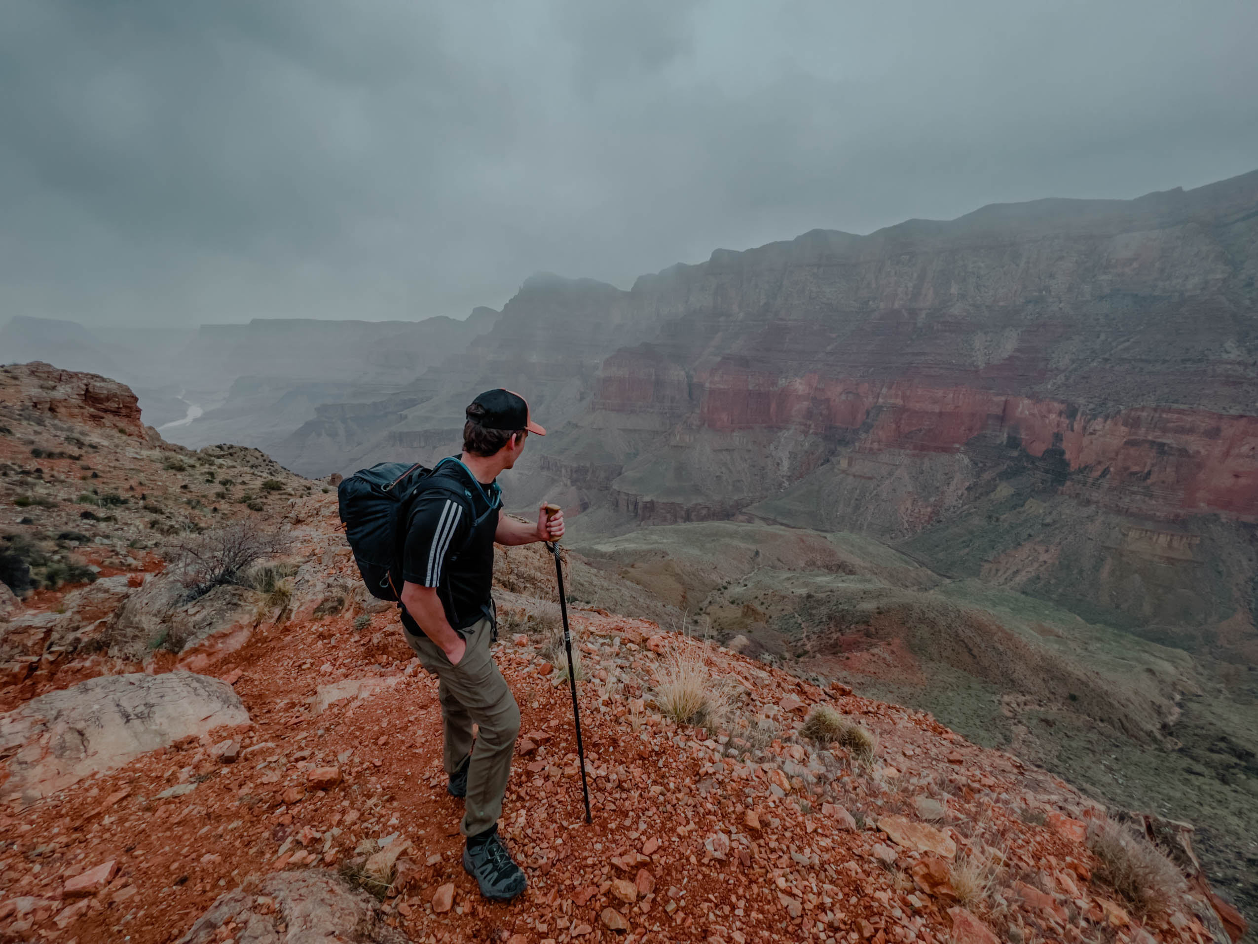
The next few hours of hiking could be summed up as a constant descent down intermittently sketchy terrain broken by absolutely stunning views of this rarely traveled portion of the canyon. Our progress had been slower than expected. It seemed that every fifteen minutes we’d readjust our expected arrival time back at the South Rim later and later. At one point we almost decided to turn back so we weren’t hiking up the most treacherous sections of trail in the dark, but the pull of the river got the best of us and we continued further down. We eventually reached the river at around 2:30pm after hiking for seven hours. If we spent just a half hour admiring the beauty at the bottom before turning back, we’d reach the trailhead at 10pm assuming we kept the same pace going up as we had going down. Of course, that wouldn’t happen. So, we let go of all expectations and adopted a mindset of indifference. We’d move as safely as we could back toward the rim, letting the journey take as long as it did.
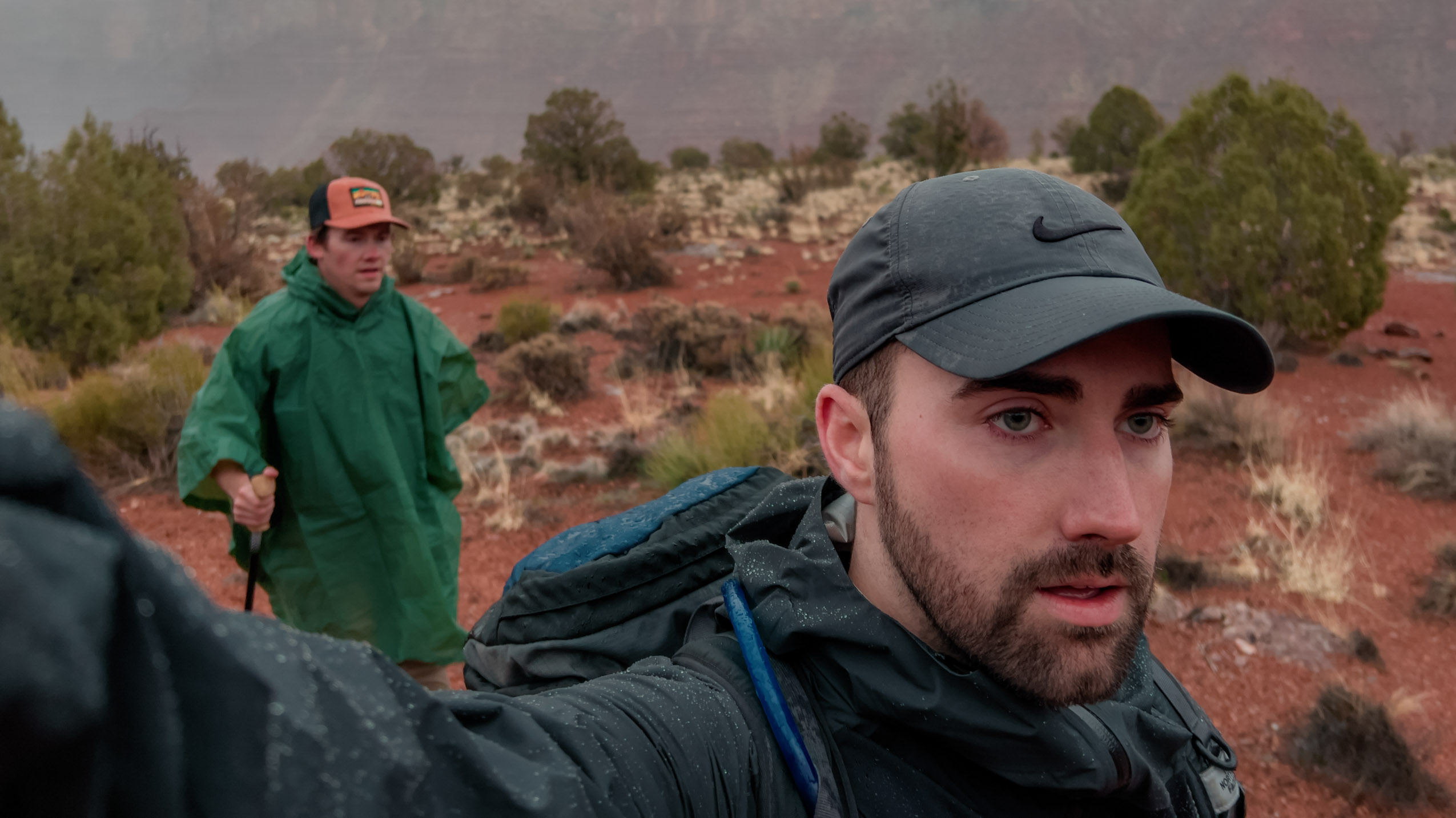
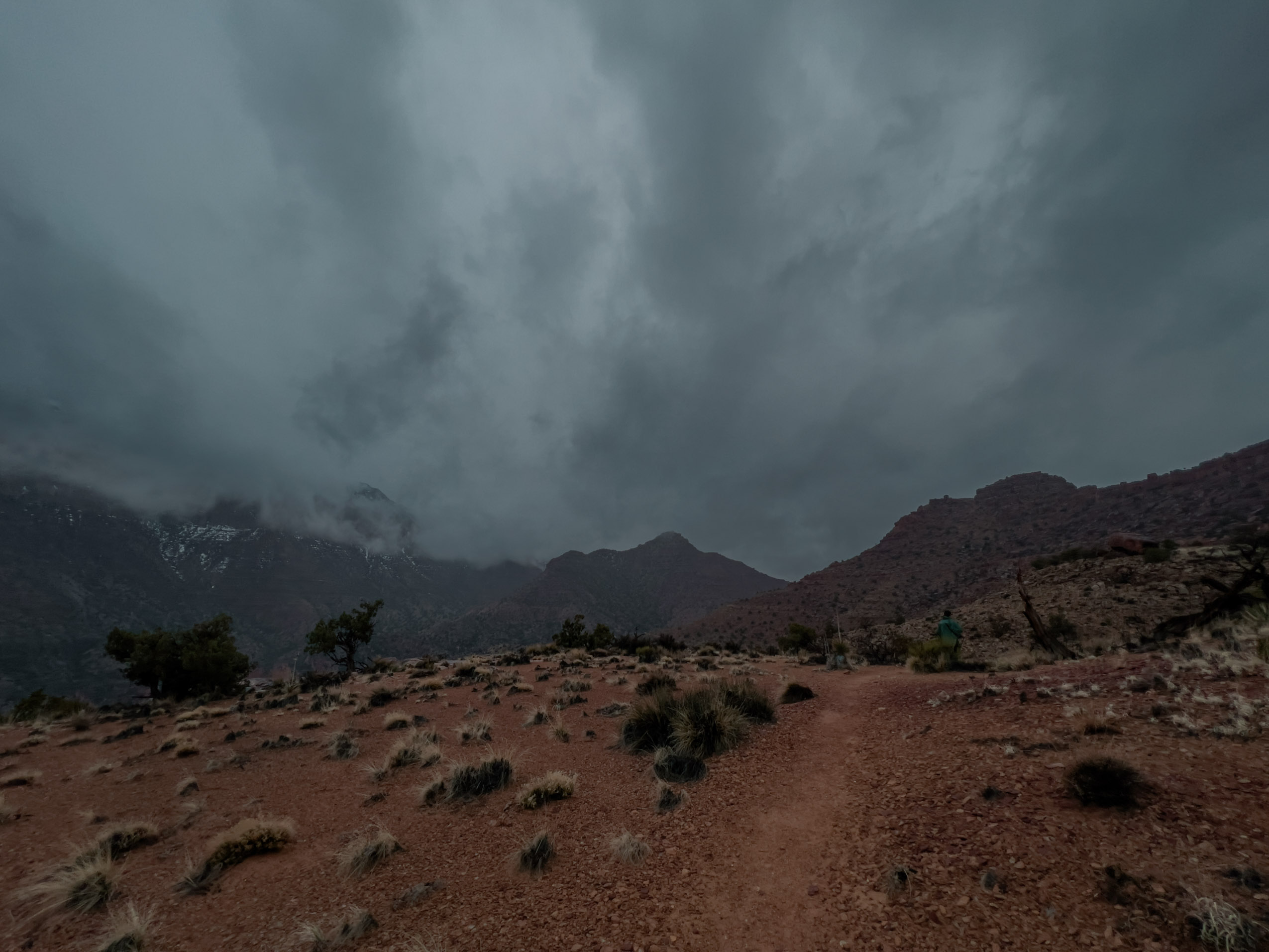
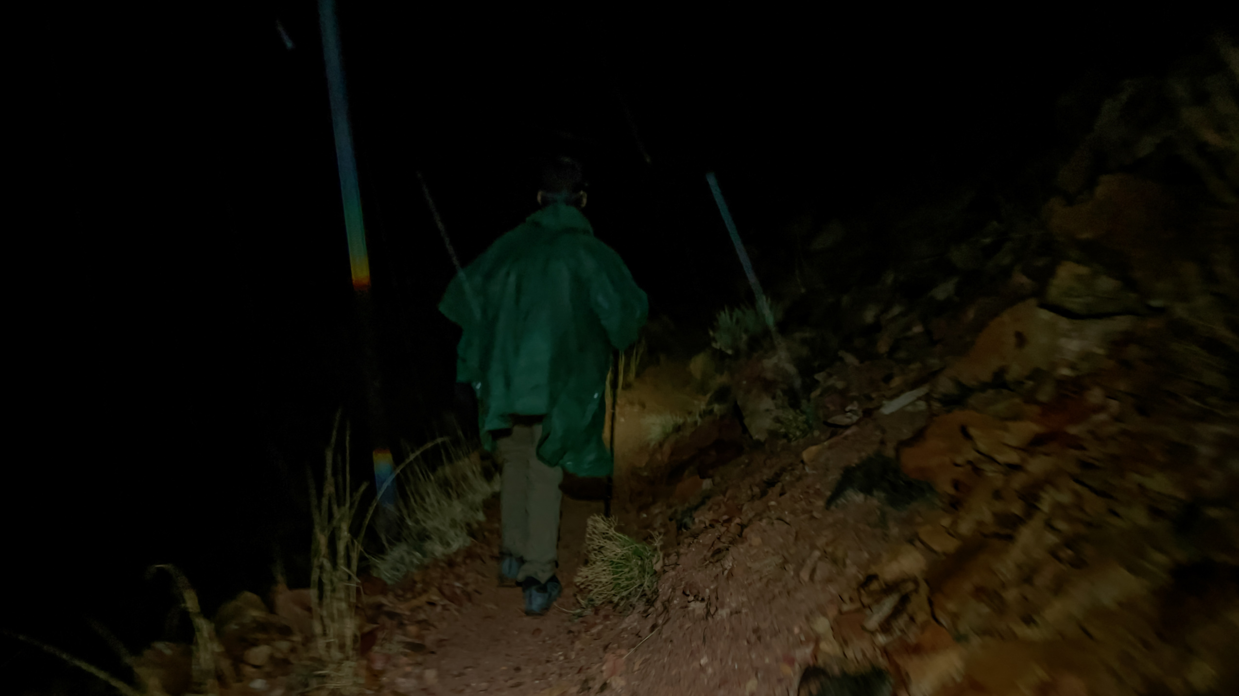
The first few hundred yards of our hike up was telling; we were exhausted. Only seven or eight hours of constant ascent to go! To make the story better, but our immediate situation worse, dark clouds rolled in and began to gently dump rain. They wouldn’t stop for the remainder of our trek.
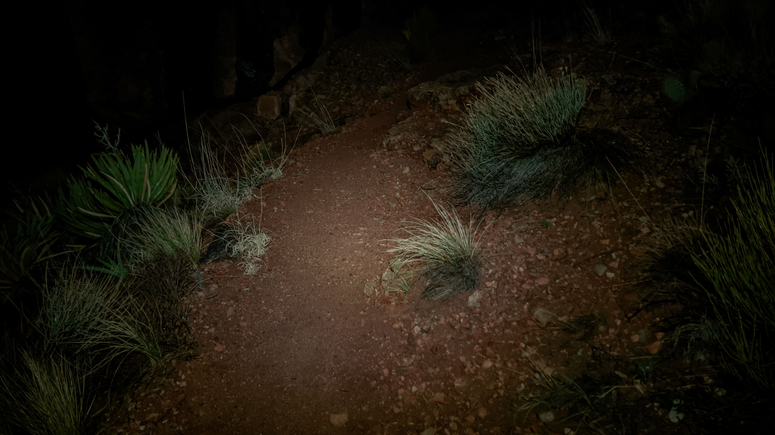
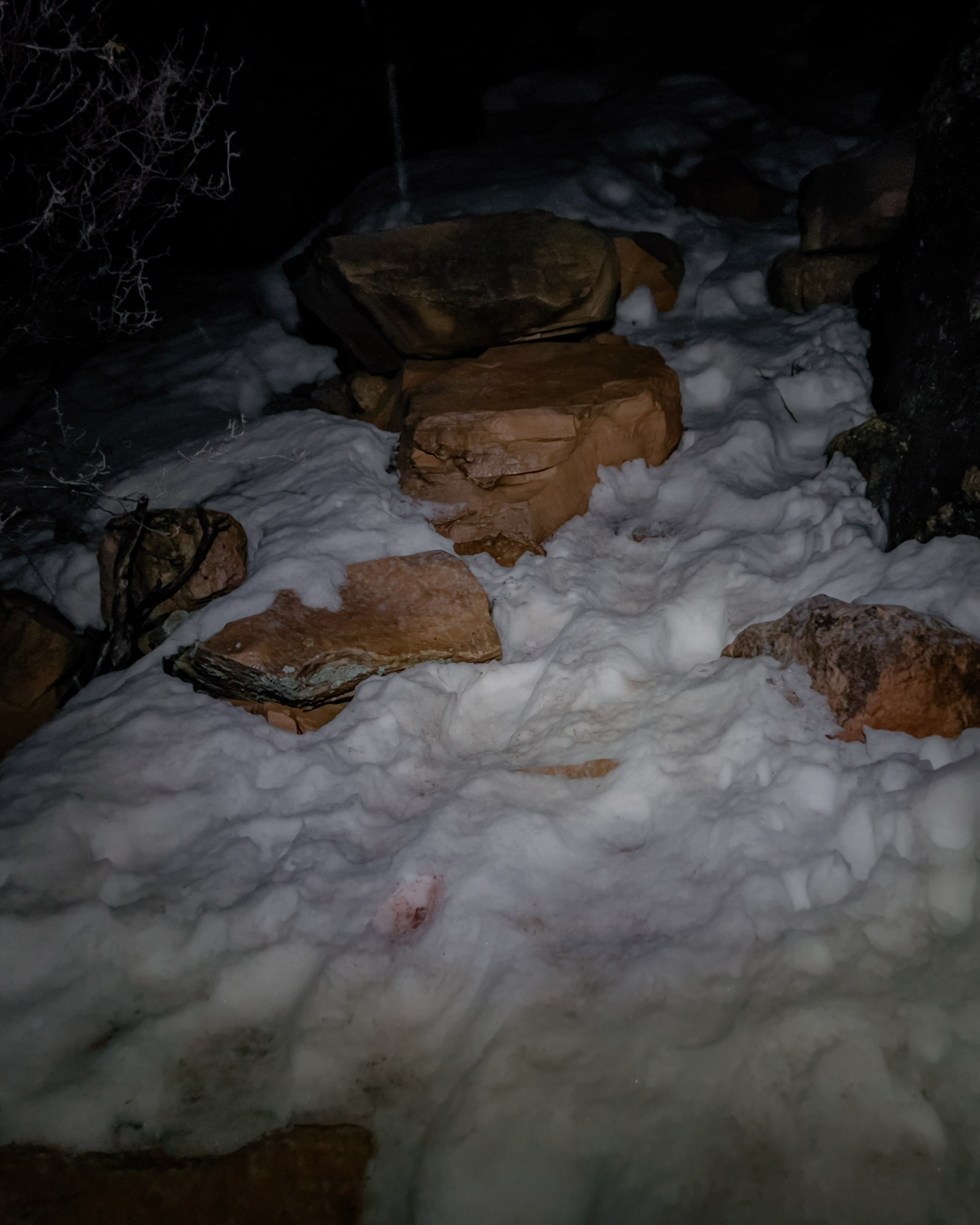
Darkness came as we were about two-thirds of the way to the top. We thankfully made it past the most sketchy sections of the trail (the parts where a misplaced step onto loose rock could mean falling off a cliff), but there was plenty of sketchiness left to go. The rain had turned the snow at the beginning of the trail into an even slicker version of itself, relative to what we’d experienced earlier that morning. And as we traversed this section of the trail, having been cold and wet for a few hours now, our motivation and energy stores were at an all time low. We often only took one bounding step forward at a time, having to ensure our feet came down on stable, flat-ish spots to avoid slipping, using nearby tree branches as emergency tethers. And after each of these bounding steps was about thirty seconds of rest before the next. Our progress was sloooowwww. And the snowy switchbacks seemed never ending. I’d never before been this close to complete exasperation. But thankfully, we eventually reached the top of the trail without significant injury.
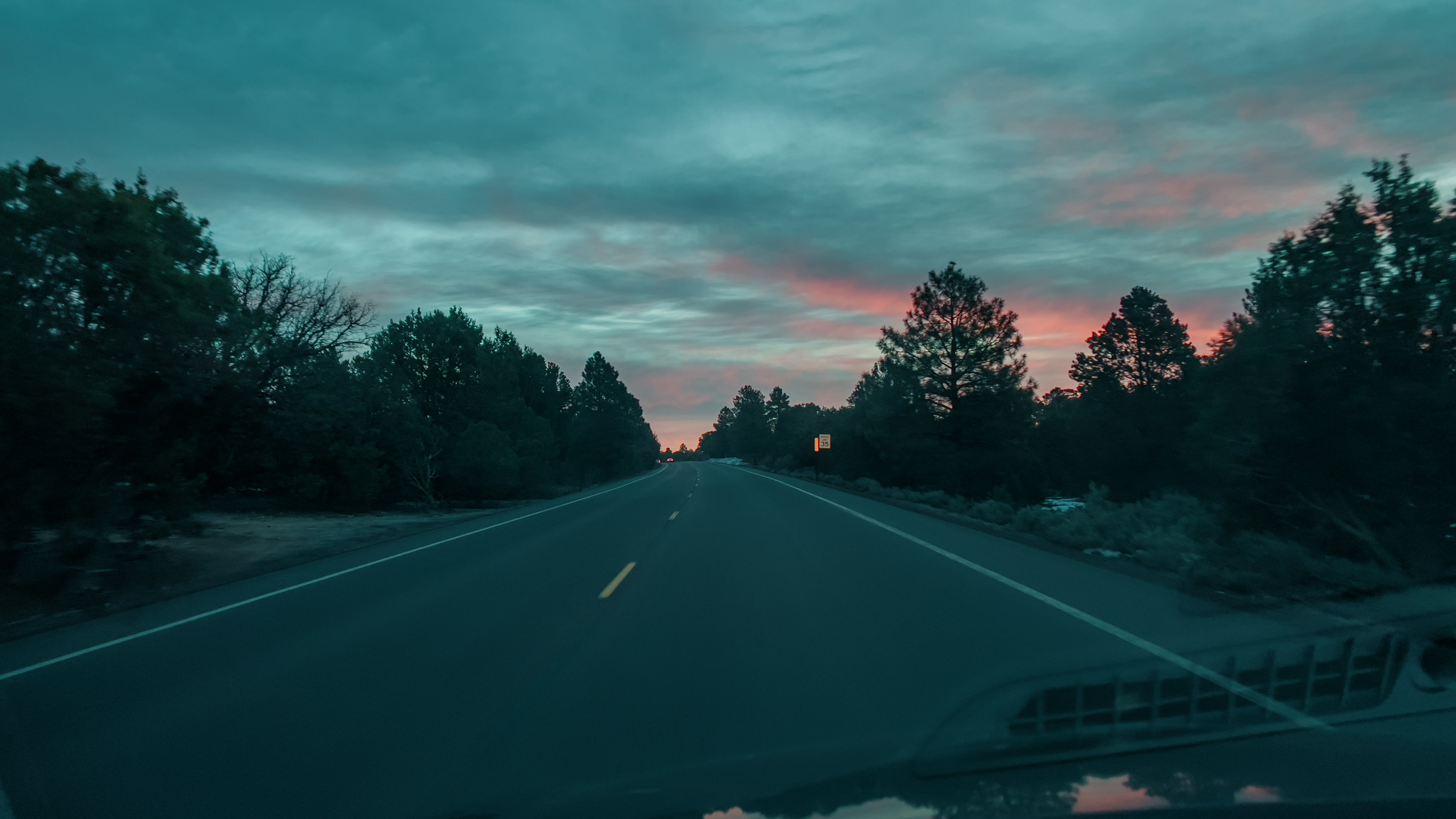
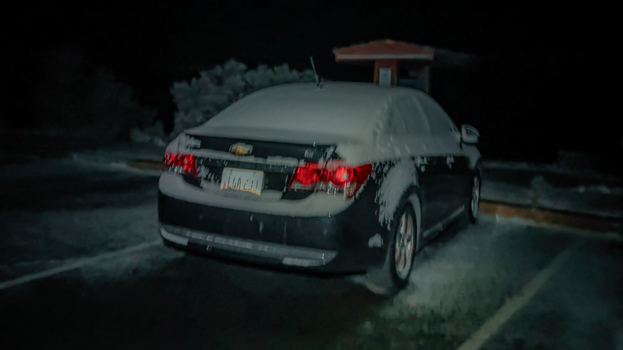
As we walked back to the parking lot from the trailhead, a park ranger serendipitously drove by and stopped to see how we were doing. From his perspective he saw a couple hikers limping along the road in the snow-rain at 11:30pm. He was right to be concerned. I vividly remembered him asking “You guys plan on being out this long?” I simply replied, “Not exactly.” He told us that our planned exit out the eastern road of the park was closed, but that he’d go up ahead and open it for us. If we hadn’t seen him, we would’ve been stuck in Tusayan for the night. Instead, we drove two or so hours to Page, AZ, where we started the next day’s adventures.
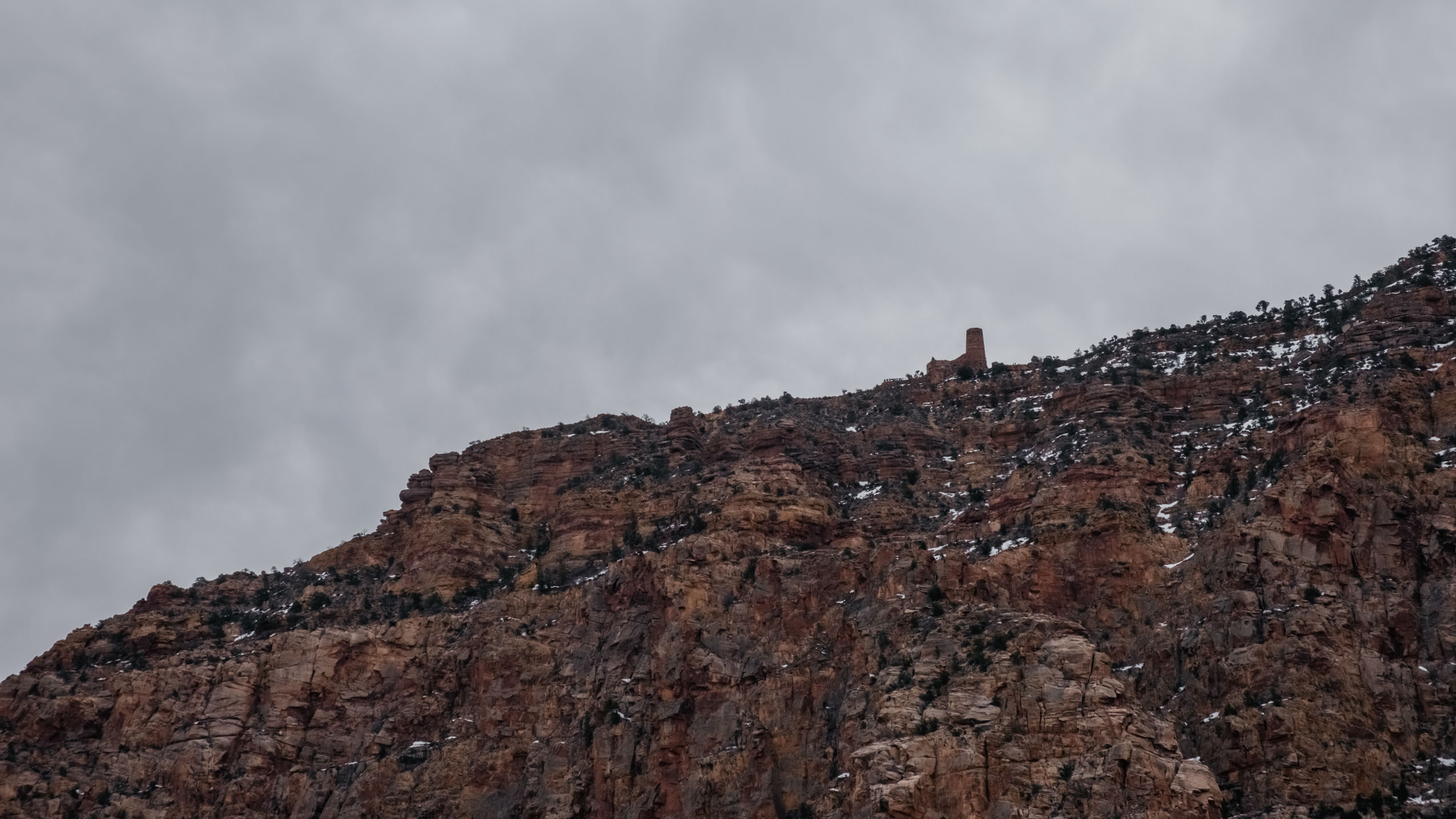
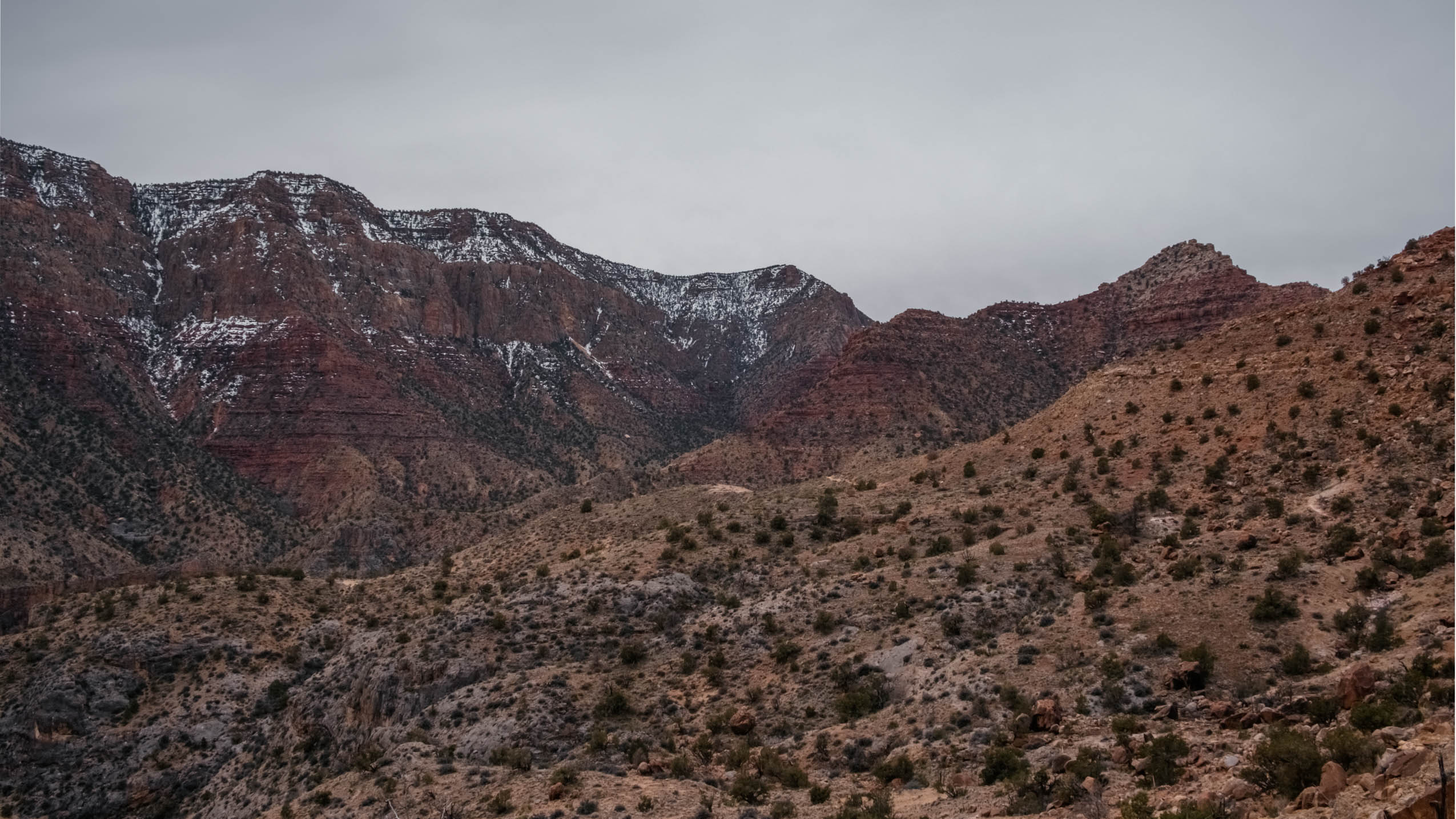
A STORY IN PHOTOGRAPHS